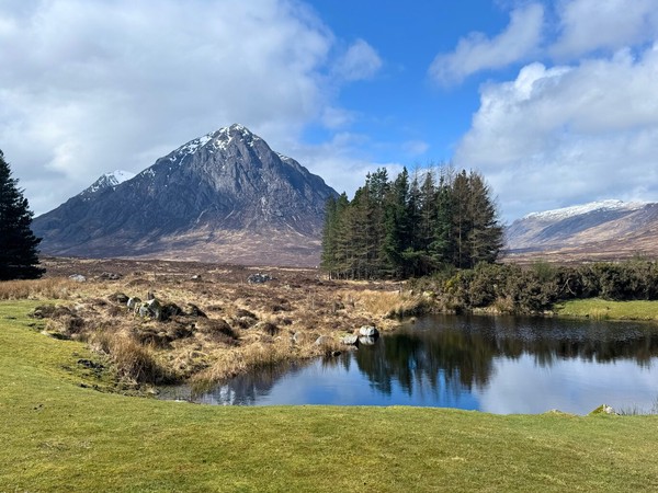
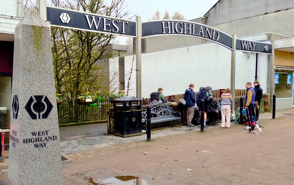
After a needed day’s rest today’s hike offered grand views, a slog up the Devil’s staircase to the highest point on the West Highland Way, and a long descent into Kinlochleven.
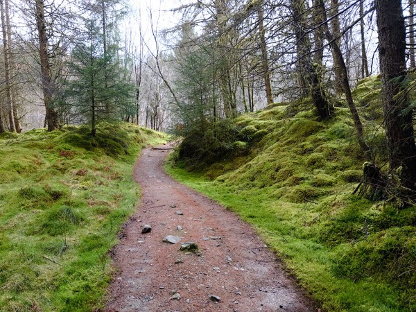
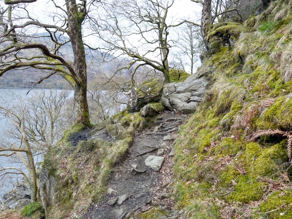
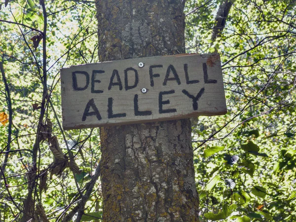
The hike today is usually billed as the most strenuous of the entire West Highland Way. It started tamely enough but eventually turned into more of a careful crab crawl than a hike.
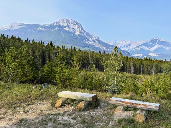
It was last day of my 4-day Kananaskis visit and I saved this mostly flat ramble along Baldy Pass Trail following a string of geocache hides over to Lusk Pass Trail
The geocaches hidden on the way up to the summit of Horton’s Hill in Kananaskis have been on my bucket list for years. Today was the day I made the climb of this steep hill.
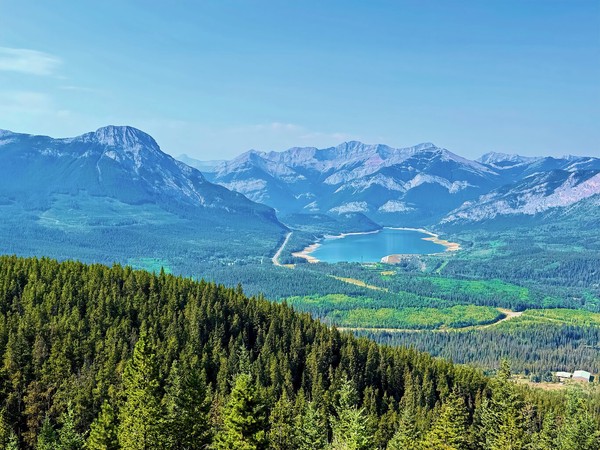
It was both a physical and psychological stretch for me to successfully climb to the 2536m summit of Mt Burke today. It took a LONG time, but the climb was completed.
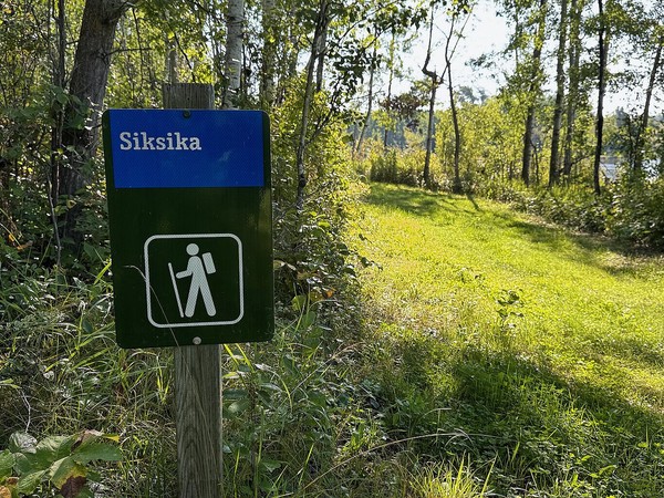
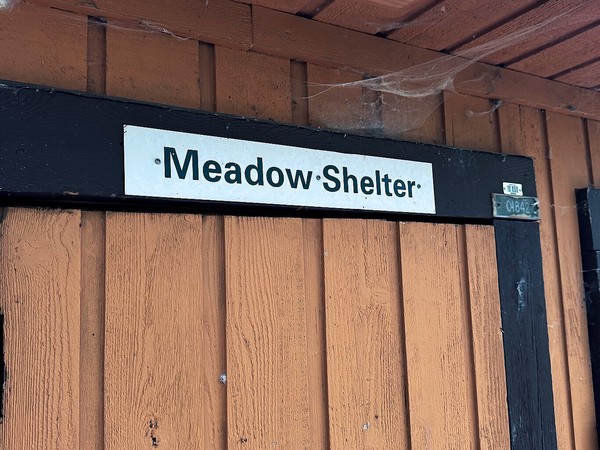
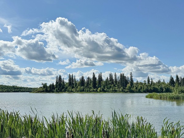
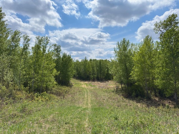
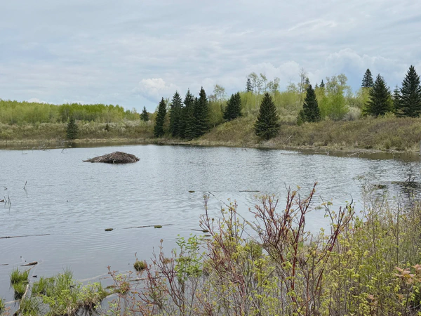
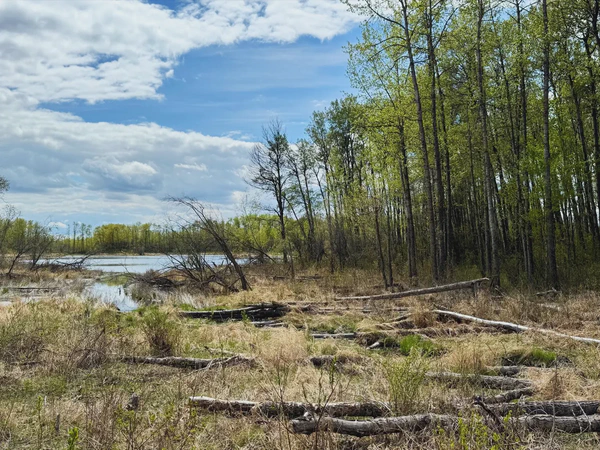
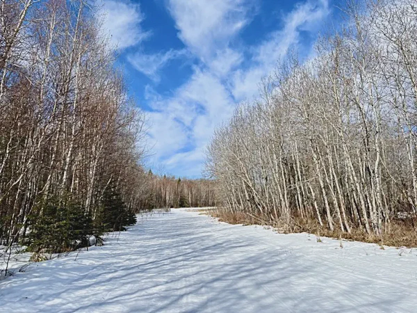
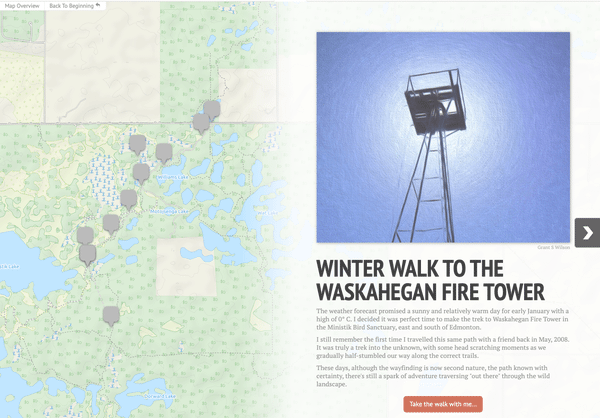
I accessed the Blackfoot trails from the Waskehegan Connector Trail, did some geocache maintenance, continued to Push Shelter and returned on Ed’s Way, a trail I’d hiked before.
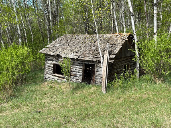
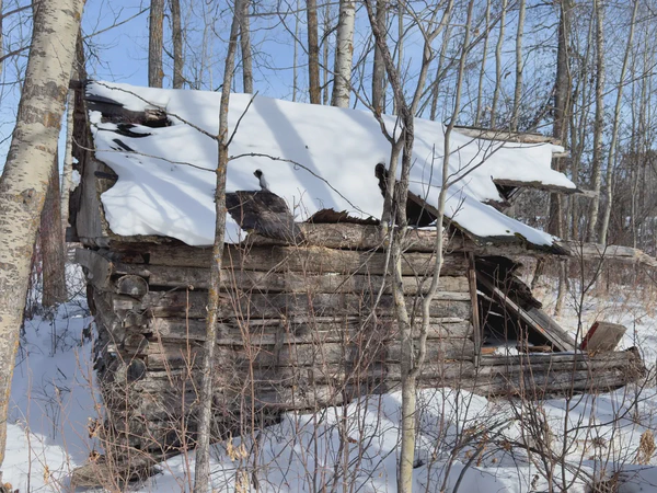
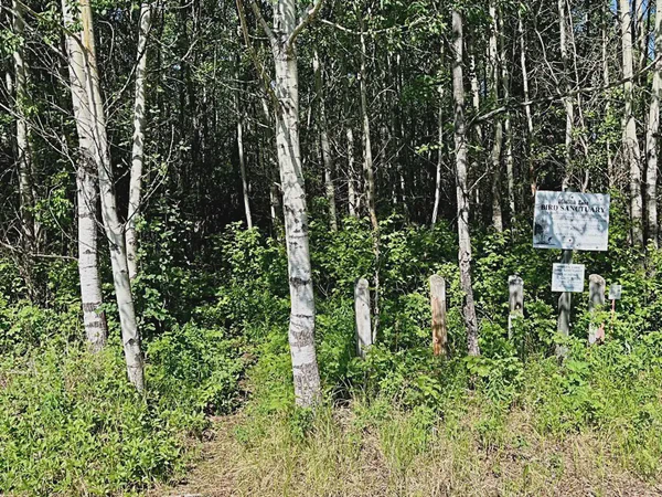
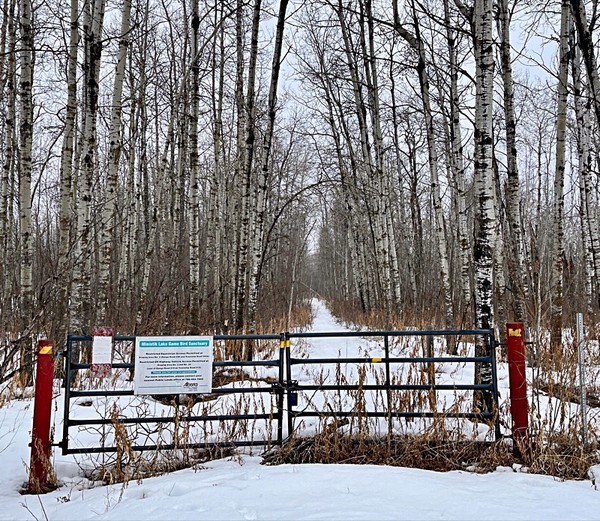
I after a long absence, I “rediscovered” a grand loop hike in the southeast section of the Ministik Bird Sanctuary. It’s a route I call the “Mitchell Loop”, named after a cabin tucked in the woods along the way.
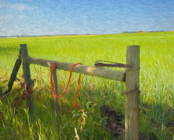
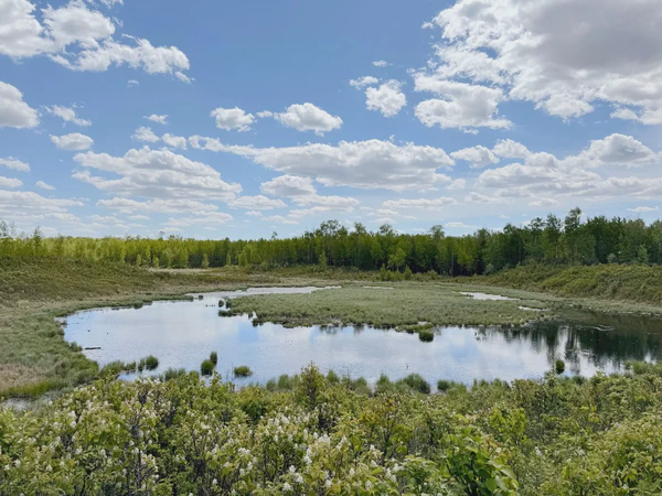
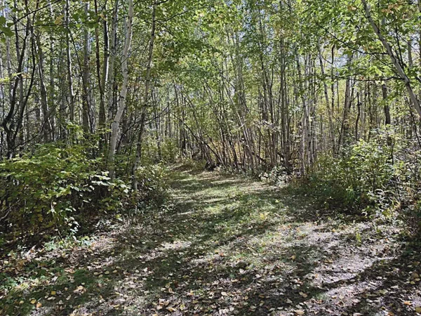
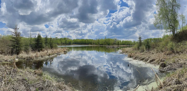
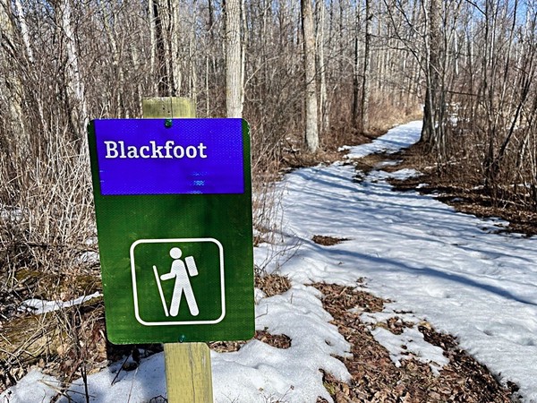
Using geocache maintenance as an excuse, I hiked a 10 km loop along the always excellent trails in the southwest section of the Cooking Lake-Blackfoot Prov. Recreation Area today.
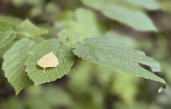
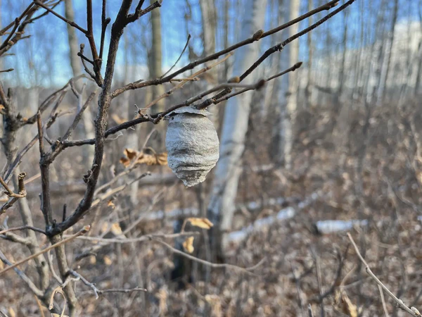
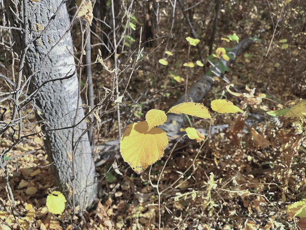
It was some of nature’s magic tricks I noticed along the way that impressed me the most during a hike along the trails of the Chickakoo Lake Recreation area today.
I returned to these trails with the goal of finding a cache I’d been unable to find in Dec. 2023. Compared to that visit, this summer outing today provided a far different experience - and I loved it.
To get to a remote cache today, I walked down familiar trails but then covered ground that I’d only once been near before 10 years ago - and that was in the winter months.
In the past I’d walked on stub trails northeast of Mandy Lake and today I wanted to see if they really were actual trails - spoiler alert - there were.
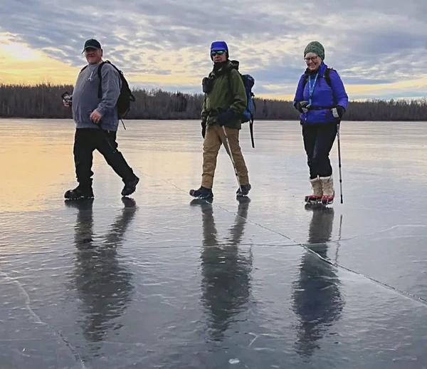
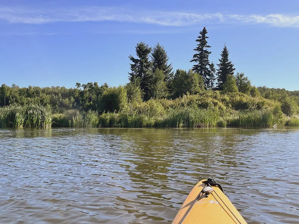
Eight of us met at Shiningbank Lake to do a grand loop around the shoreline where geocaches were hidden. First we needed to walk straight across the middle of the lake though. Pucker up and walk!
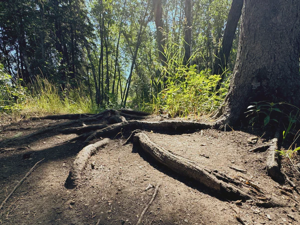
I really didn’t know what I was getting myself into when I started the loop hike from Science Park, but I not only survived the hilly mountain bike trails I ended up walking on, but I enjoyed the experience.
It was my first time hiking around the trails at in Glory Hills Natural Area. There were a few caches here, but in the end it was the trails that I remember.
I’d been on this trail a couple of times before but it’s been a long time since the last visit. It’s named Misasin by fellow geocachings, so I’m going with it. It was fun exploring new sections of it today.
This is a geocaching outing where I was SO glad to be with other cachers. The first hide was diabolically hard to find and it was Dwaine who spotted it. They weren’t all like that but some were oh so nicely crafty indeed.
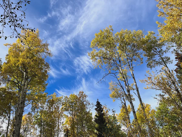
I’ve always just loved hiking in the Chickakoo Lake Recreation Area. There’s is a great mix of tree species that line both the well-travelled main trails and the less-travelled “goat tracks”. This was a solo geocaching hike and I found all but one of the caches I looked for today.
I traveled down the winding road to Mandy Lake today to find two caches. I was with the cache owner when he hid them, so I’m returning to find them fair and square.
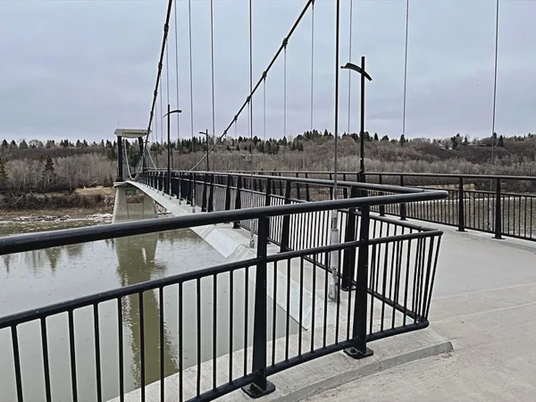
The walk from the Terwillegar Dog Park to Fort Edmonton takes you over the N Sask River through mountain bike trails and then over the river yet again.
The main purpose of today’s hike was to swap ammo can geocaching containers for lock ’n lock containers. These caches were hidden quite a distance from parking in the Blackfoot / Cooking Lake Recreational Area.
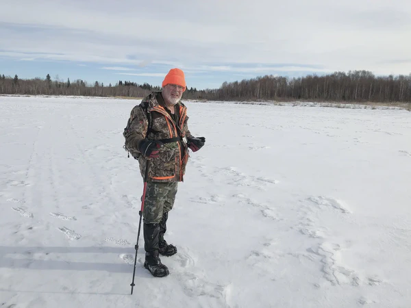
Four of us crunched through the snow, on trail and off to find geocaches in the area accessible from the Stove Lake trailhead in the Ministik Bird Sanctuary.
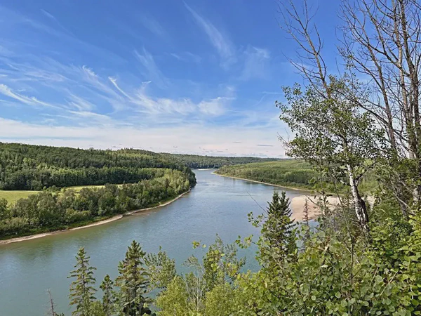
The five of us tackled some steep slopes to get to some geocache hides along the North Sask River and after that hiked through the MacTaggart Sanctuary to find more geocaches
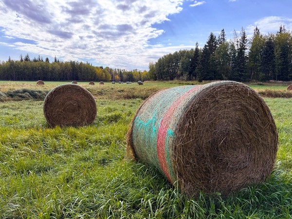
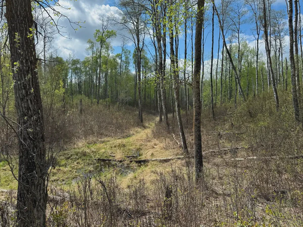
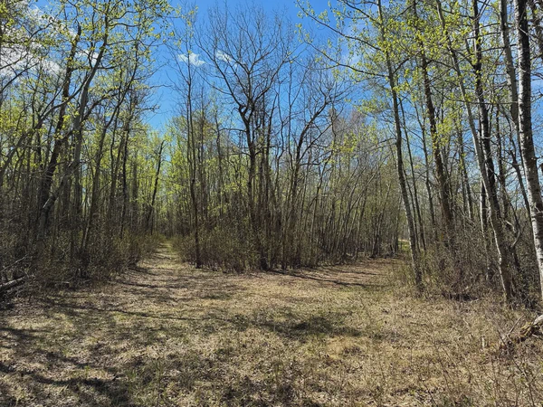
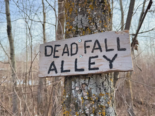
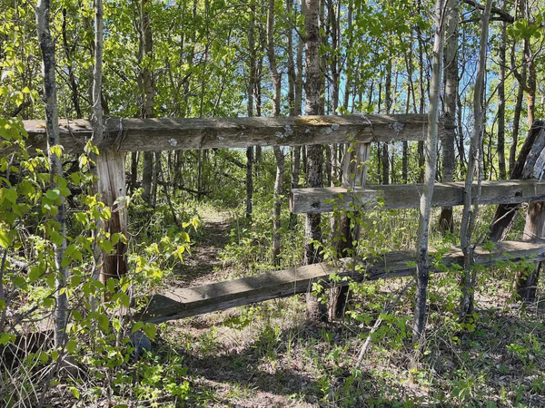
See what a fairly remote section of the Hornbeck Recreation Area northwest of Edson, Alberta looks like a the end of September as two geocachers do a loop trek on overgrown trails.
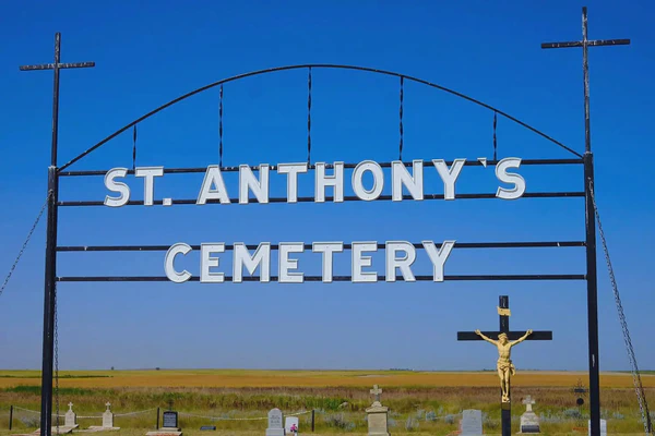
St. Anthony of Padua Church and Cemetery are located southwest of Medicine Hat, Alberta. The church has fallen into disrepair and seems to stand as a symbol of a past reality now fading.
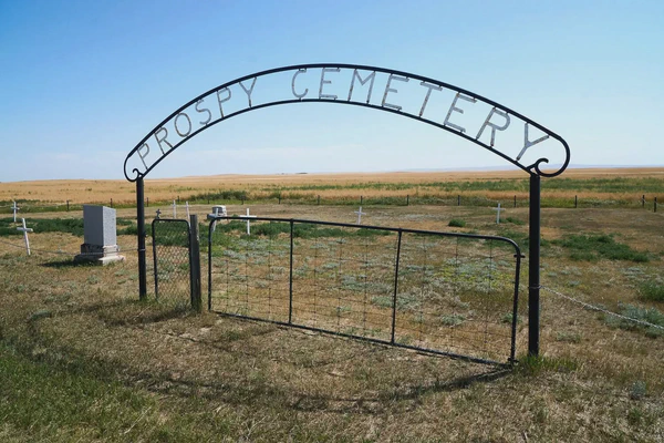
Prospy Cemetery was generally unkept with graves markers lightly scattered across the small enclosure. Despite that, one grave marker in particular caught my eye.
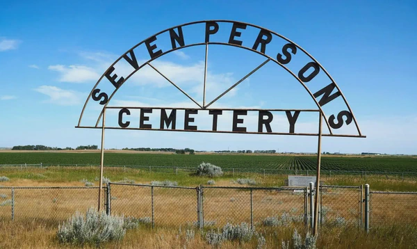
Seven Persons is a hamlet in Cypress County, Alberta about 20 km southwest of Medicine Hat. There are various stories about how the hamlet got it’s name.
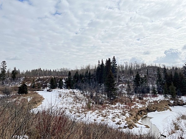
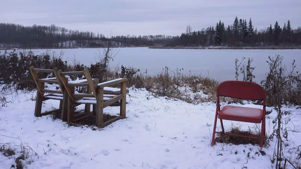
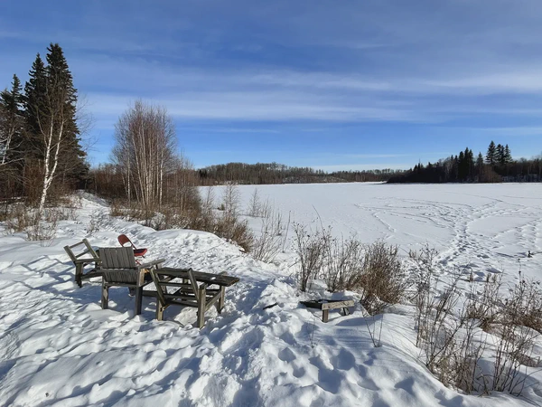
For almost a decade a single red folding chair has been stationed at a lookout over Williams Lake in the Ministik Bird Santuary. The landscape is in constant flux around it, but the red chair remains.
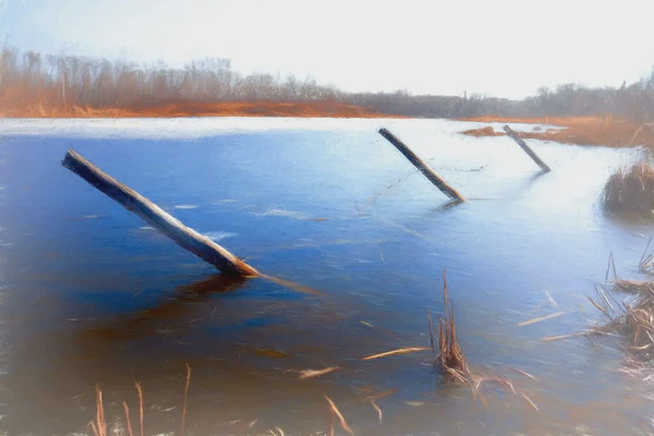
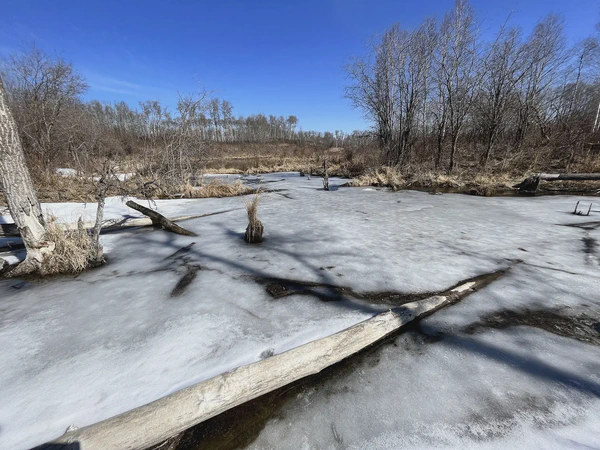
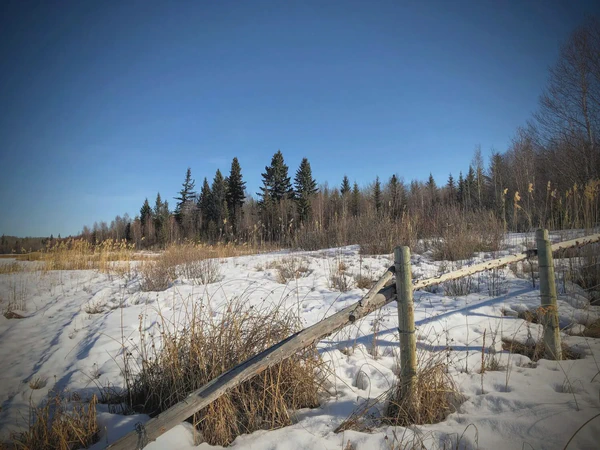
I had to do some maintenance on a cache near Mandy Lake in the Ministik Bird Sanctuary and had great outing walking along the still snowy trails to get to it.
I made the snowy walk to scout out a geocache hide, realized I wasn’t going to be able to get to it, so continued on to visit the Ministik fireplace and Red Chair Lookout.
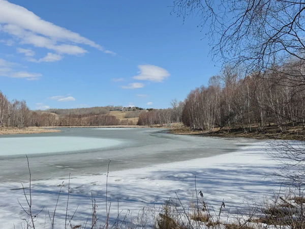
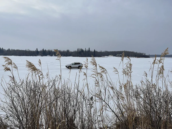
Hugh and I were planning on walking over the ice to the caches on Farming Island on Lac St Anne. But we saw ice fishers on the ice, so we drove instead.
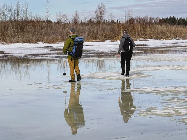
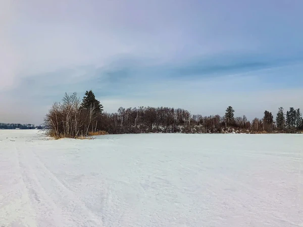
I met my buddy Hugh and we spent hours walking over crusty lake ice to find geocachings hidden on islands on Oliver Lake in the Ministik Bird Sanctuary
I had the rare opportunity to visit with two potters who made Bizen pottery in Okayama Prefecture in Japan. The purposely rough, charred style of pottery conjures an aesthetic called wabi-sabi.
I still have my “ugly mug” from Tobe, Ehime Prefecture, Japan. I think of it as an important momento of my time living in Japan but I still think it’s ugly.
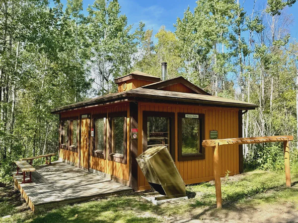
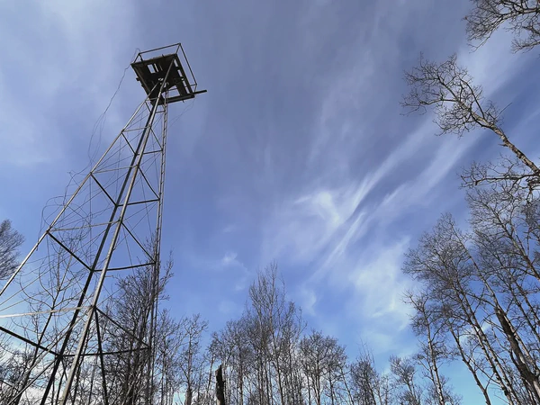
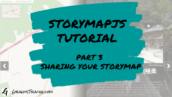
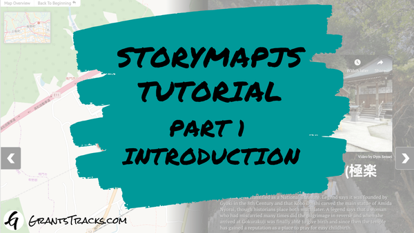
A hike to a fairly remote fire tower in the Ministik Bird Sanctuary southeast of Edmonton is brought to life with StoryMapJS, software that combines maps with images and text.
Using a restrospective of REM’s discography, this post walks through the capabilities of TimelineJS a piece of timeline software hosted by Northwestern University’s Knight Lab.
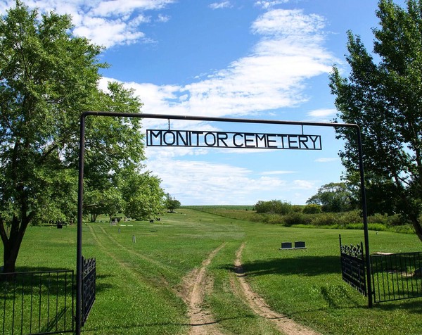
Located on the side of a long, sloping hill, I visited Monitor Cemetery when the surrounding crops were in full bloom, justaposing new life with other part of the cycle: inevitable death.
Our Lady of Perpetual Help Roman Catholic Church and Cemetery lies 32 kms northeast of the town of Athabasca, Alberta and serves the Spruce Valley district.
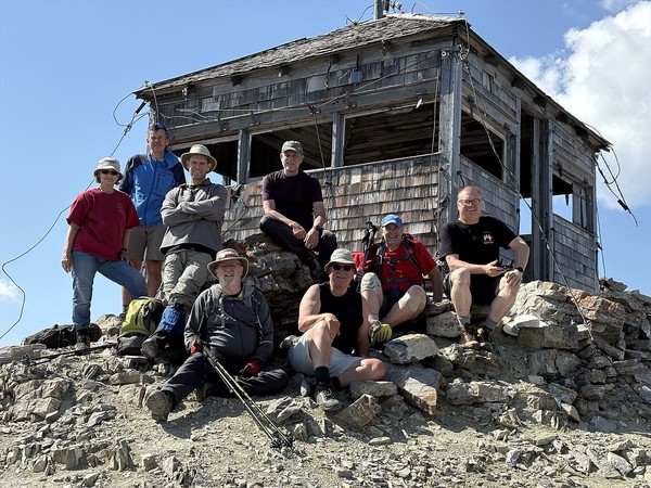
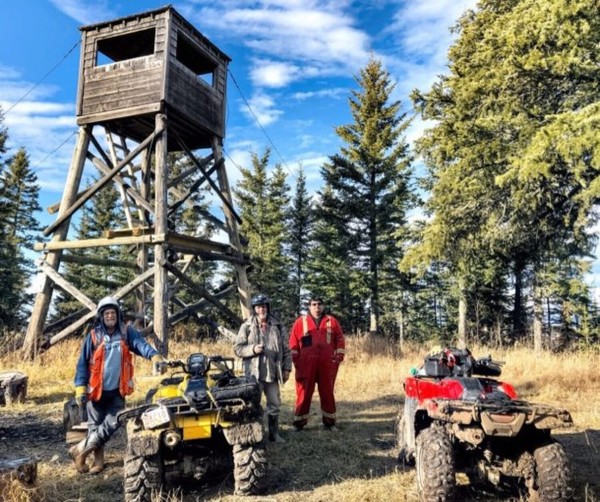
I’d been “map-dreaming” for literally years about making the trek to Grizzly Ridge Tower. I’d even tried and failed once foiled by muddy roads. But because of the kindness of friends, I was finally able to get there.
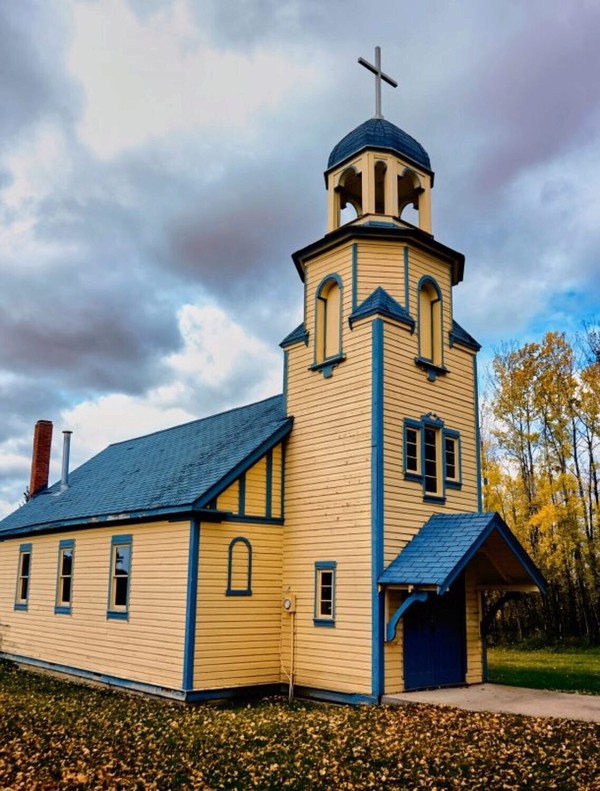
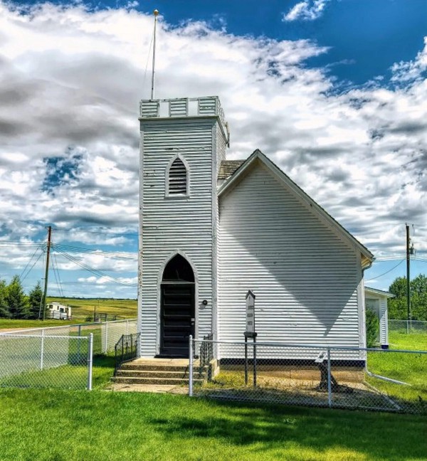
St. Laurence Anglican Church is located in the hamlet of Monitor, Alberta. Constructed in 1915, it is registered in the Canadian Register of Historic Places.