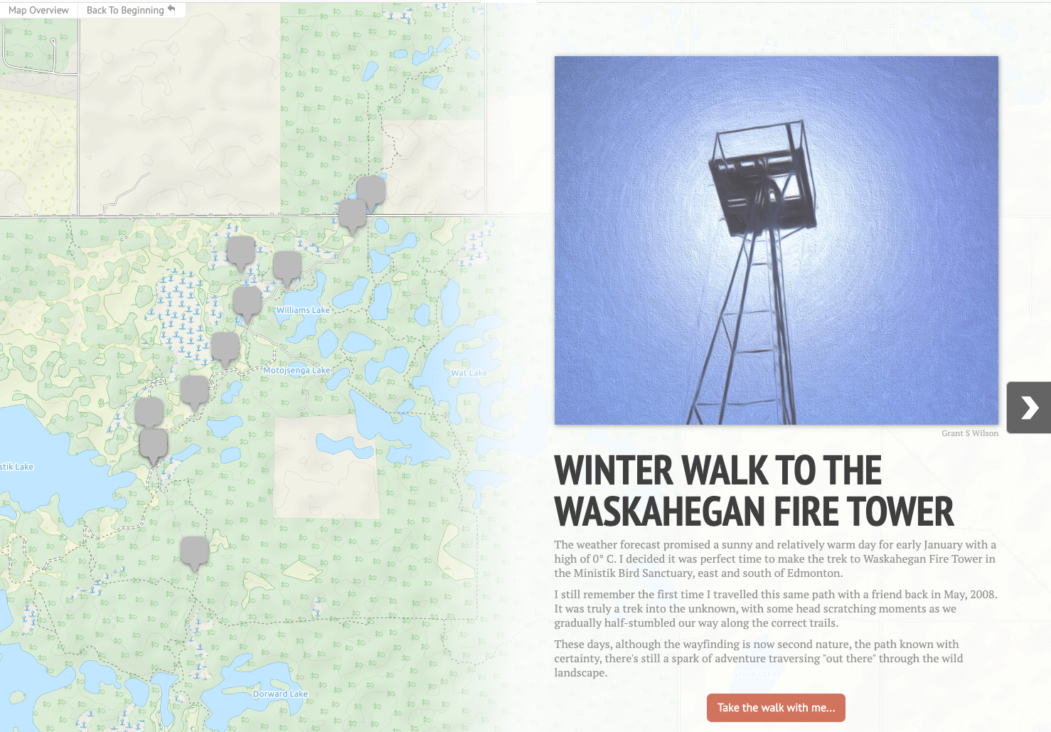
Winter Walk to the Waskahegan Fire Tower
It was a beautiful, clear day on Sunday, January 5th, when I decided to take a winter walk in the Ministik Bird Sanctuary starting at the U of A access road gate with the final goal being the Waskahegan Fire Tower. Along the way I stopped at some key waypoints and took photos with my seldom-used 360 camera, a Ricoh Theta SC.
I thought I’d share the experience using some software I’m trying out:
- Knight Lab StoryMapJS which displays a map along with media like images or video in a slide format, and
- the Kuula image sharing site for the first time. There’s a 360 image hosted on Kuula on each slide in the StoryMap and the images were sometimes slow to load. Please have patience.
- Also, if you see a “play” button on the image, click it to load the 360 image, then use your mouse to drag the image around. And I have to say all of this is much better experienced on a computer screen vs a smaller mobile screen.
Sharing the trip experience in this way is a bit of an experiment, so if some of it doesn’t work out, well, I’ll just chalk it up to science.
Click the image below to launch the StoryMap in a new browser window.

My Route Today


