West Highland Way - Day 4 - Ardlui to Tyndrum
West Highland Way - 2026 - This article is part of a series.
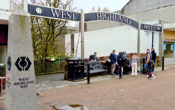
What is the West Highland Way?
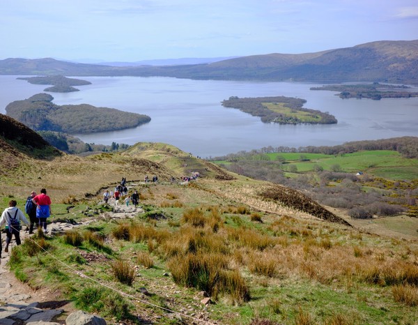
The West Highland Way is a 154 km (9 mile) walking trail in Scotland, running from Milngavie (near Glasgow) to Fort William. It passes through diverse landscapes, including Loch Lomond, open moors, and mountainous terrains. You can view entire route here. (Map by Westhighlandway.org
My Route Today#
Breakfast at Ardlui Hotel#
The food available at breakfast at the hotel was good, but the procedure for communicating what kind of breakfast you wanted was a little haywire. It caused some confusion for a few people and while tt’s too nit-picky to get into here, a few of us agreed later that they need to change how they do things there.
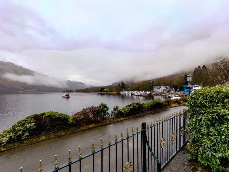
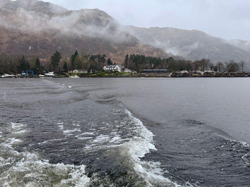
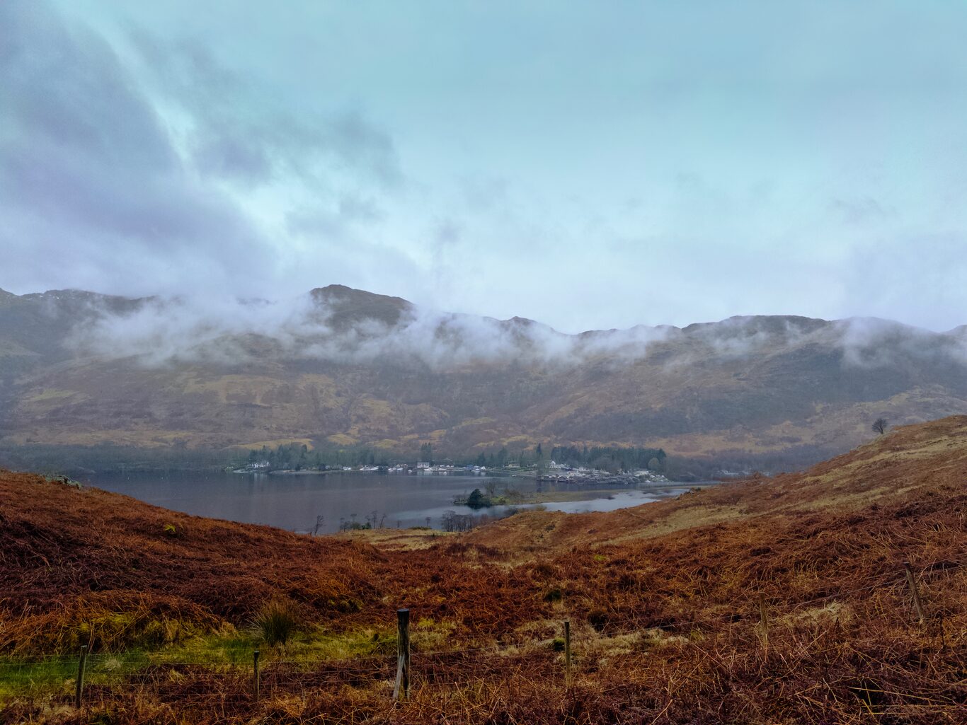
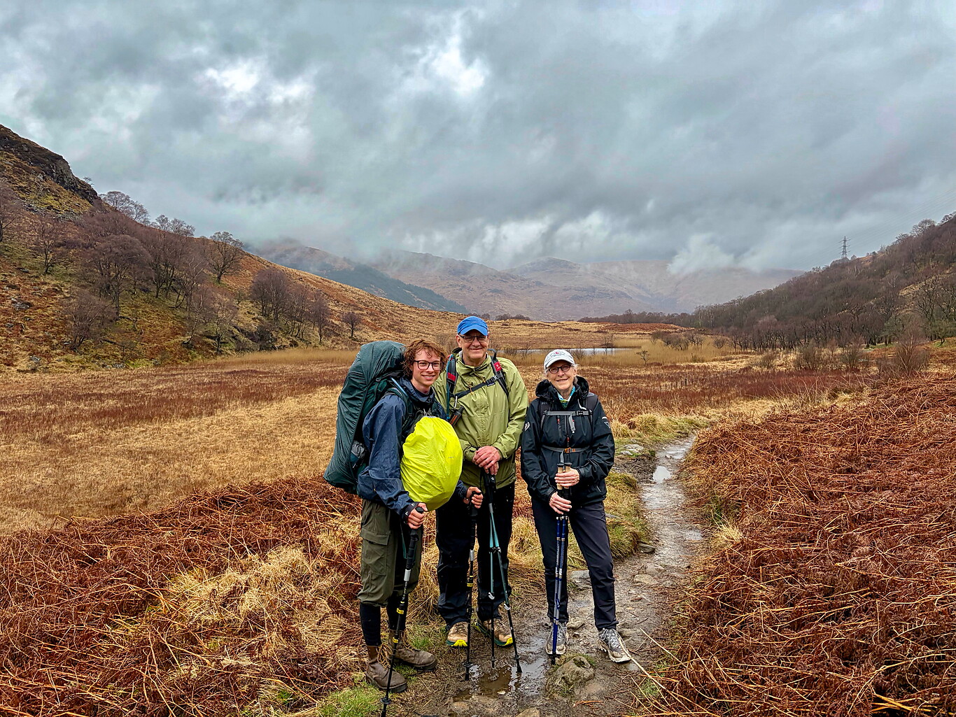
We knew from seeing the ferry schedule the day before that the first ferry left at 9 a.m. As it turned out, only Bernie and Laura, the two Michigan women I’d spent the last part of yesterday’s hike with and had supper with last night, and I made it out to the ferry on time. So it was only the three of us who made the first trip over to the eastern shore of Loch Lomond to continue on the next leg, with Tyndrum being the goal of the day.
The Day’s Walk to Tyndrum#
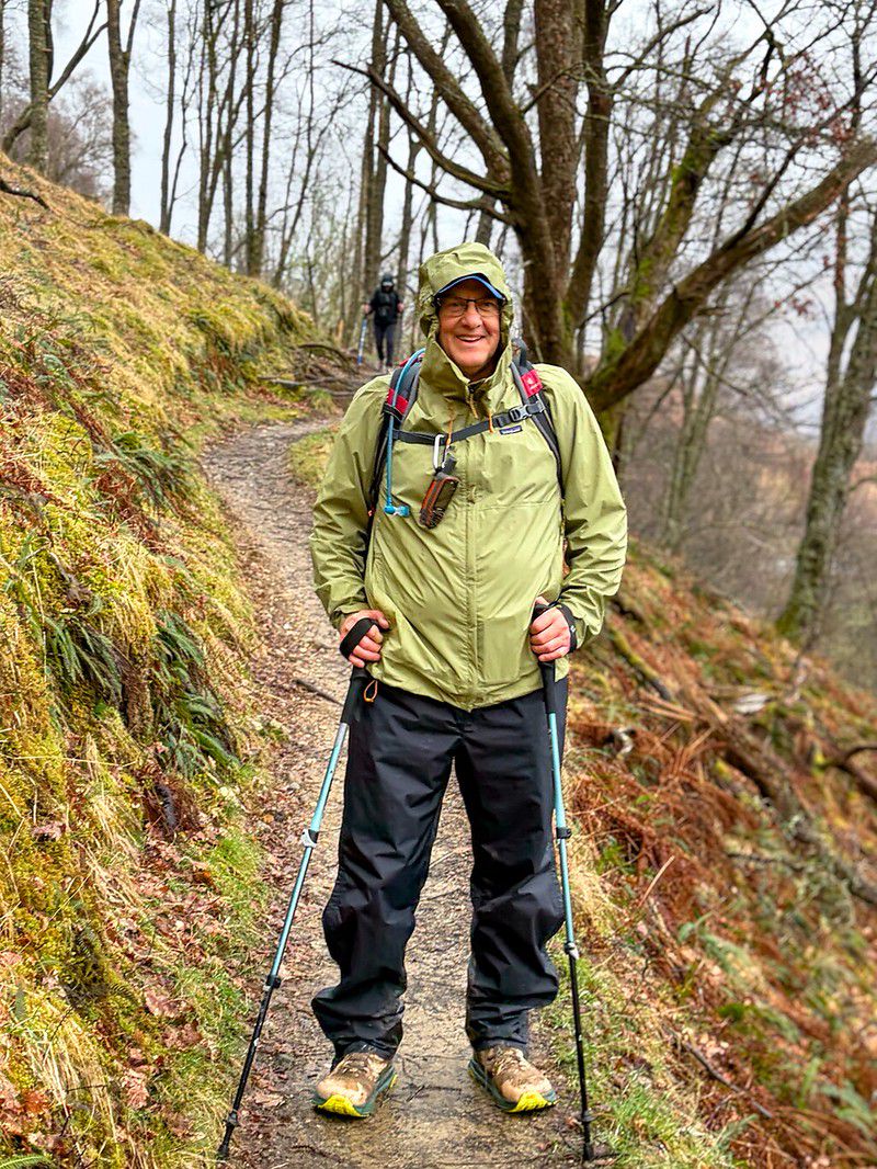
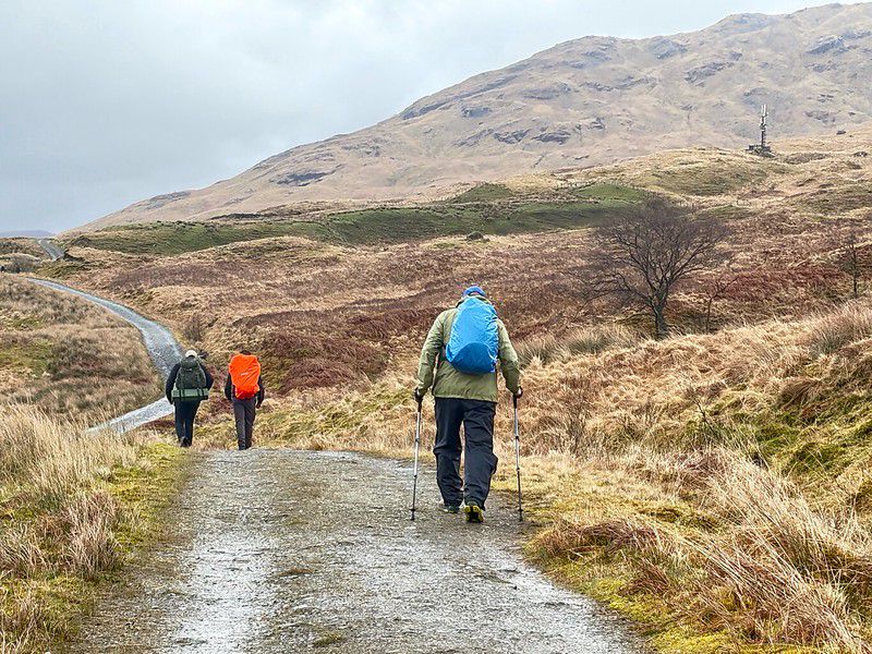
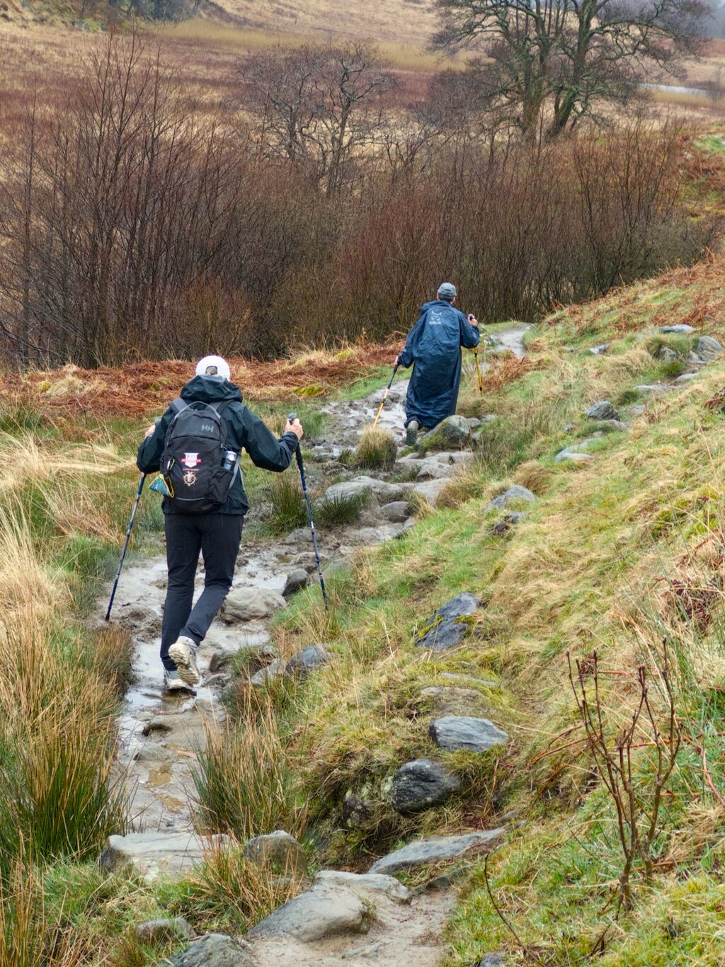
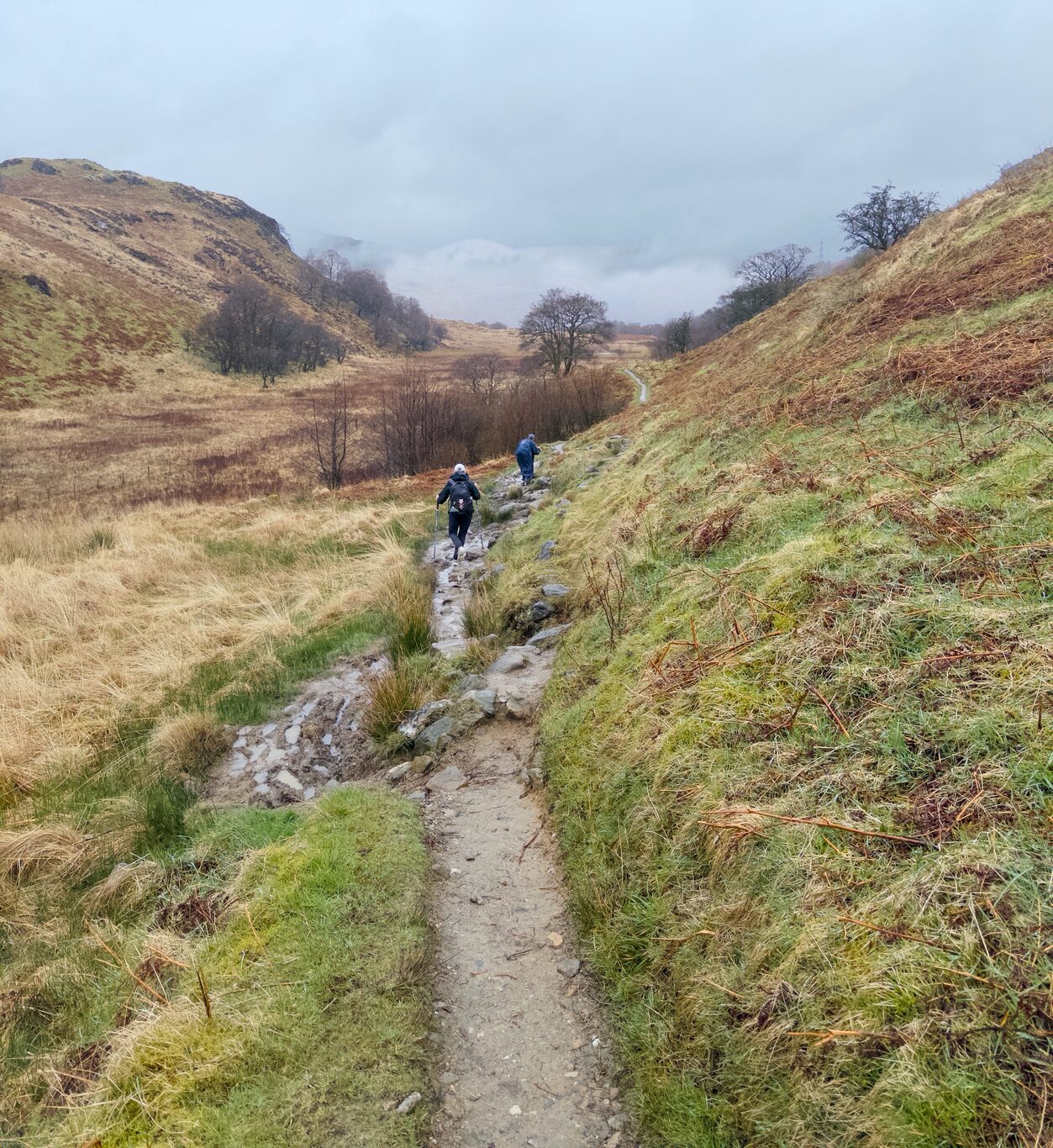
Today turned out to be a day of simply enduring, of just making it through, and I remember well thinking at one point that the physical effort wasn’t bothering me even though I was at that moment climbing yet another steep hill with rain and sleet splatting against my head and face. What was bothering me was the sheer lack of joy at being there in the moment. This day was more about sheer endurance than any joy in the experience.
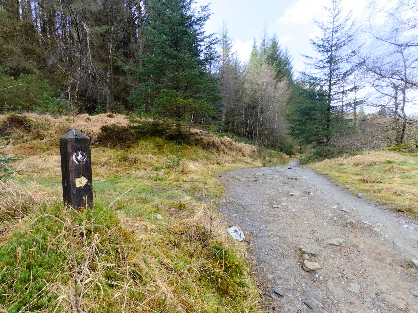
That said, the mental images that flash through my mind of the experience of walking today conjure up a real variety of terrain and vistas we walked through: a number of logged-out areas, some real forest, and I remarked how this kind of forested terrain reminded me of home. The trees had a different flavour to them, but the sections of road through these forests felt familiar.
Rain was intermittent throughout the day, and when you were at higher altitudes the wind was fierce. I had elected to wear my rain pants for the first time today and they really came through, keeping me dry. Because of the rain we saw three different rainbows today, each one complete, stretching from one part of the earth to another. That was pretty cool indeed.
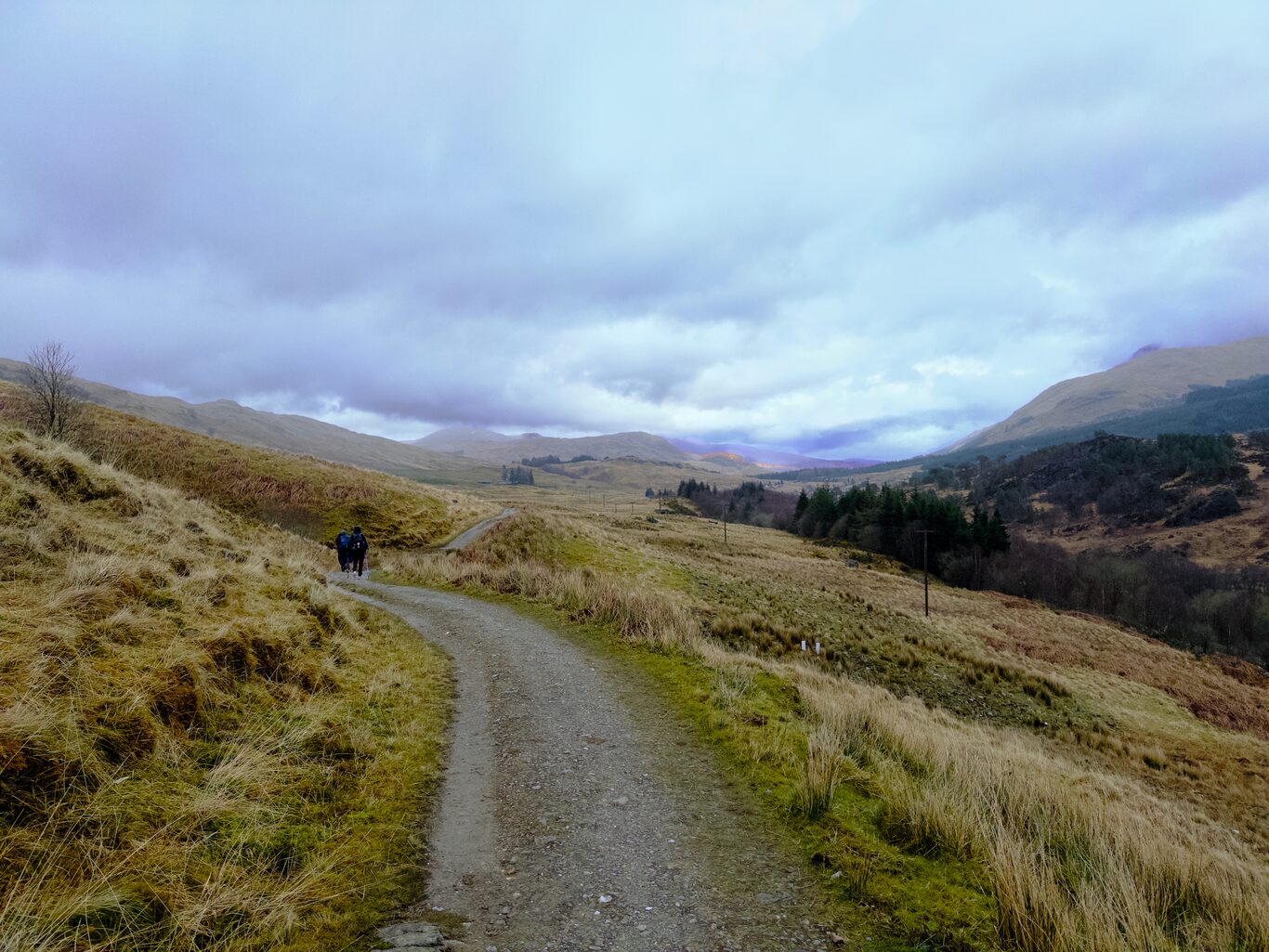
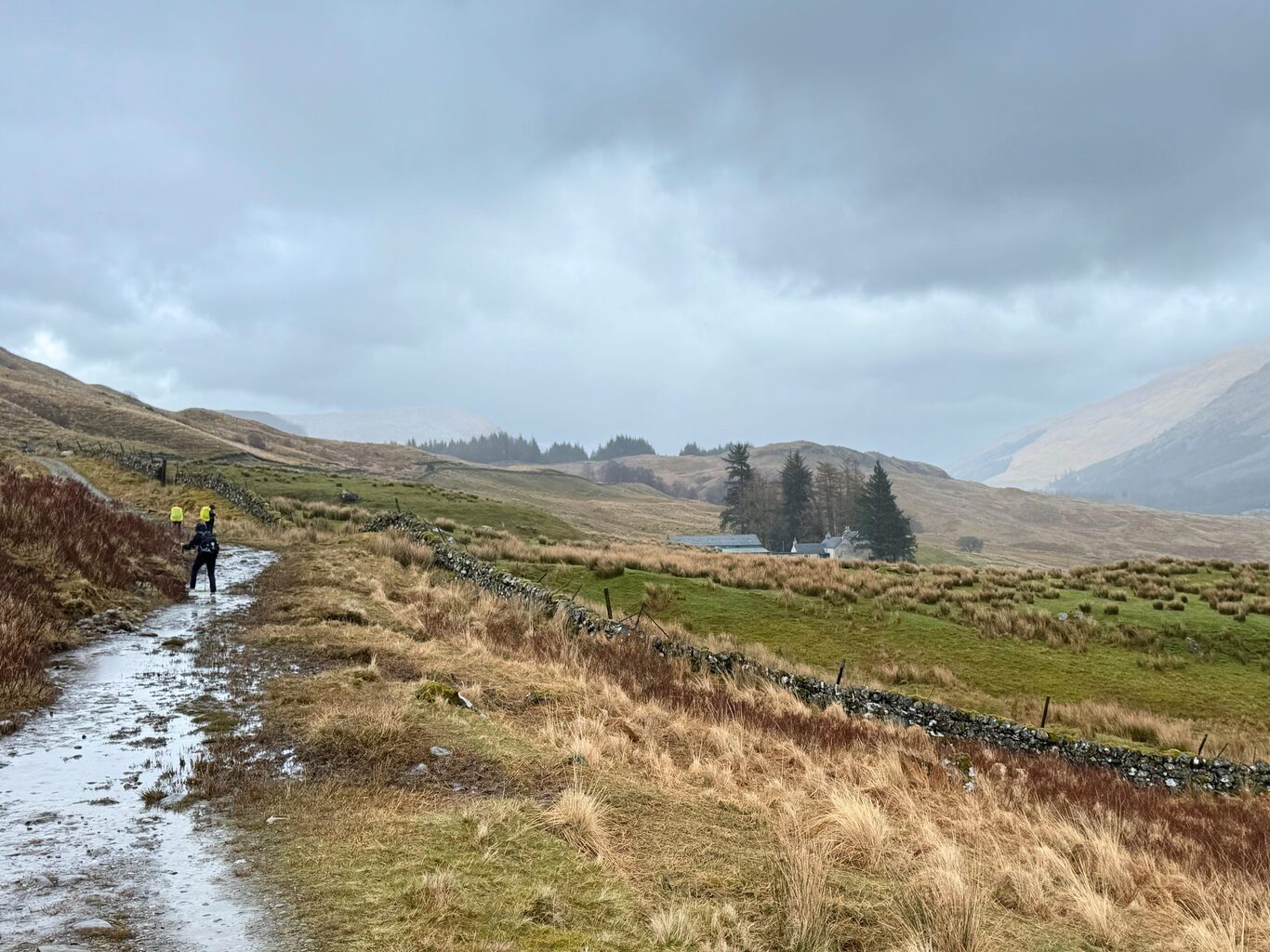
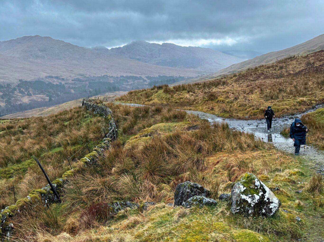
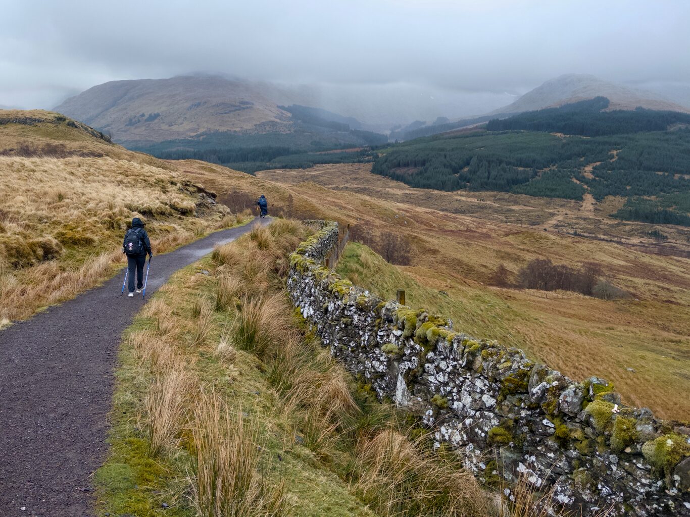
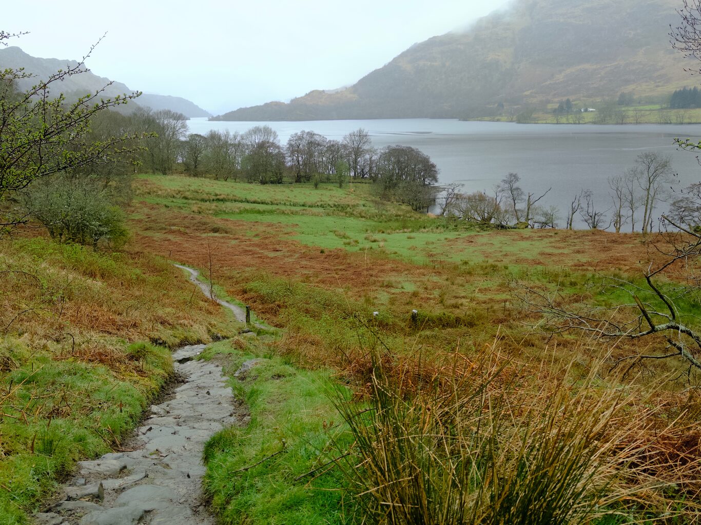
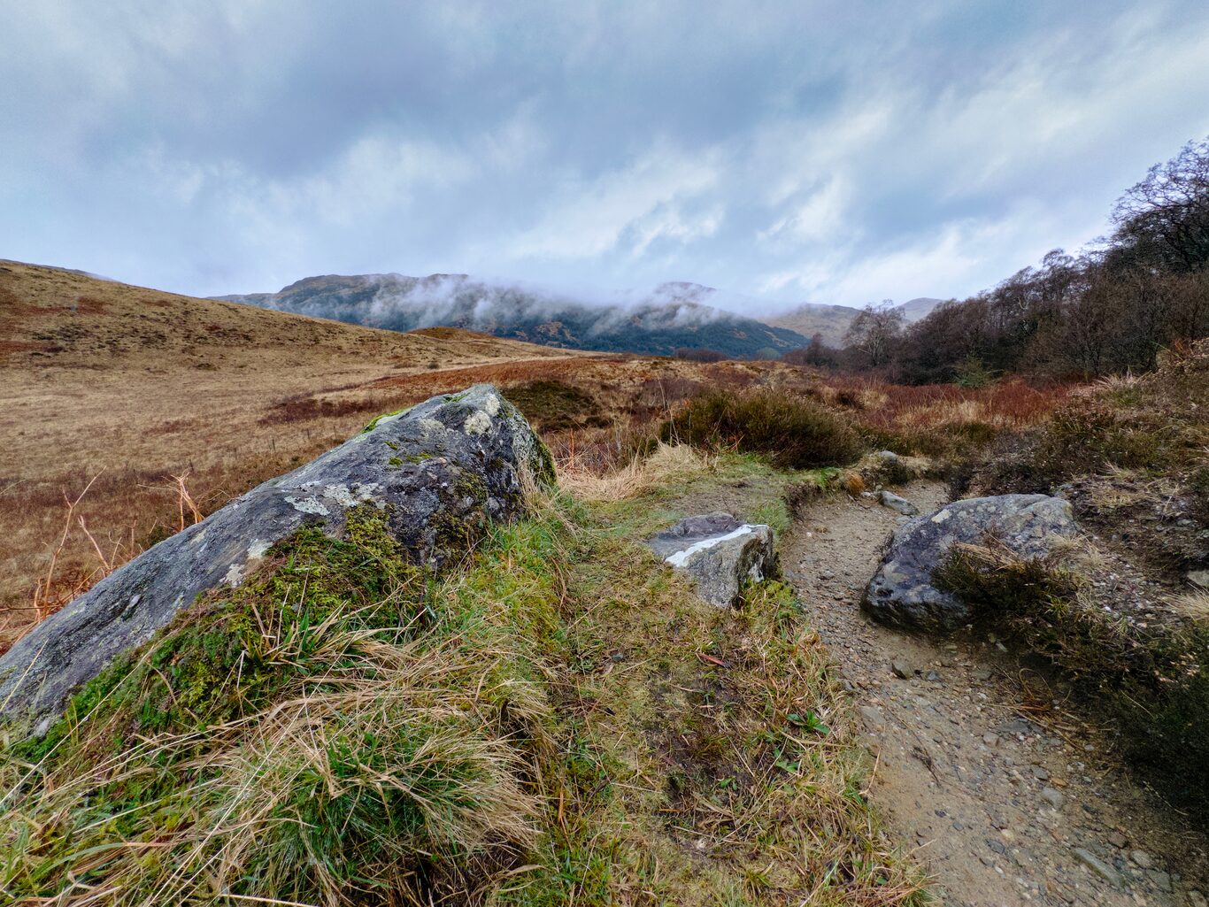
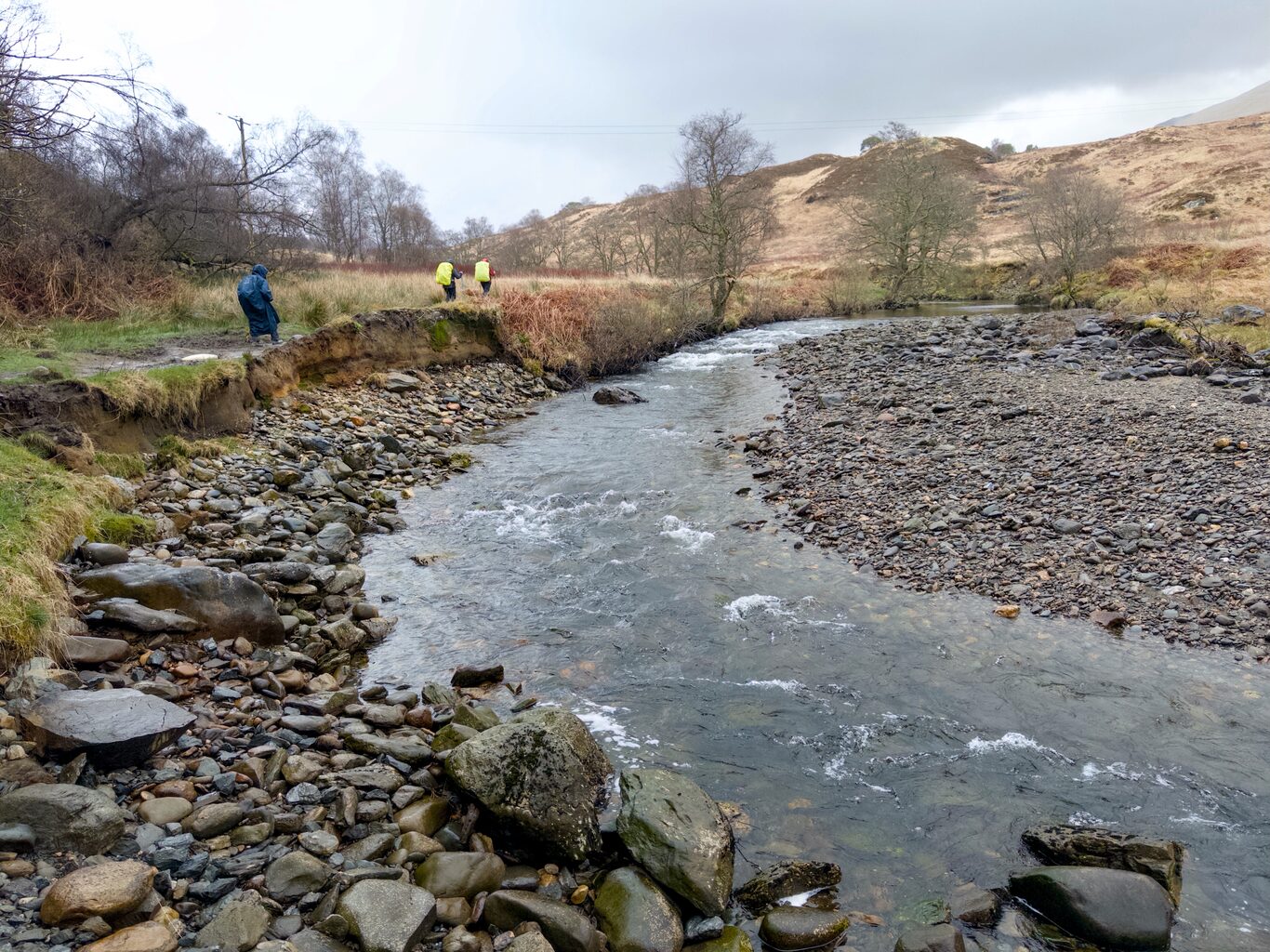
We Walked Through Open Valley#
(Click to see a larger version)
Camera Model: iPhone 15 Pro
Click for Map Location:N 56.3727639 W 4.6562250
Camera Model: iPhone 15 Pro
Click for Map Location:N 56.3822250 W 4.6465861
Camera Model: iPhone 15 Pro
Click for Map Location:N 56.3837667 W 4.6450944

Camera Model: iPhone 15 Pro
Click for Map Location:N 56.3852611 W 4.6402250
Camera Model: iPhone 15 Pro
Click for Map Location:N 56.3857028 W 4.6384389
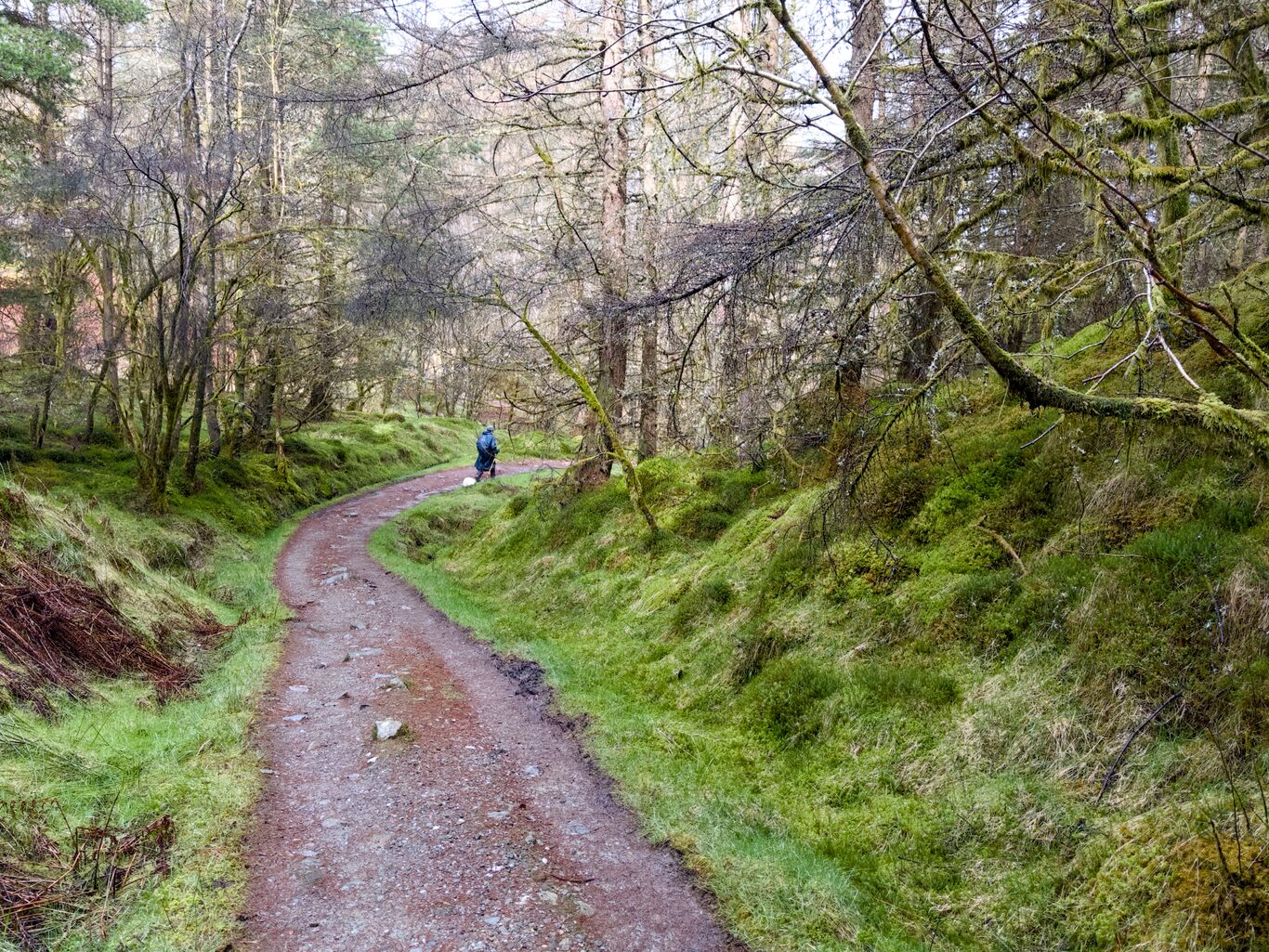
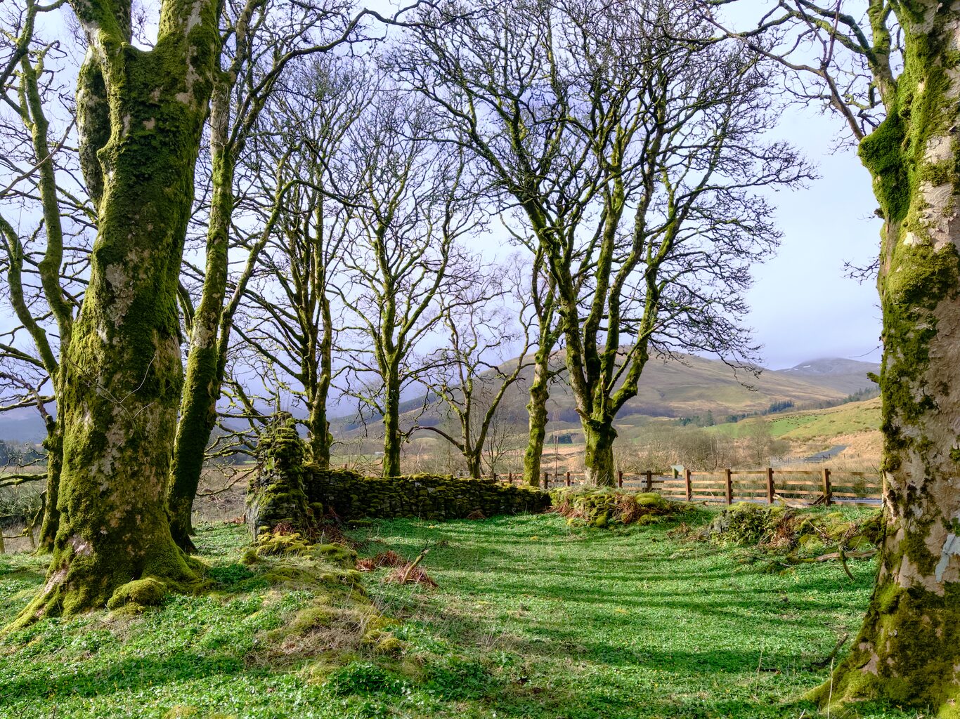
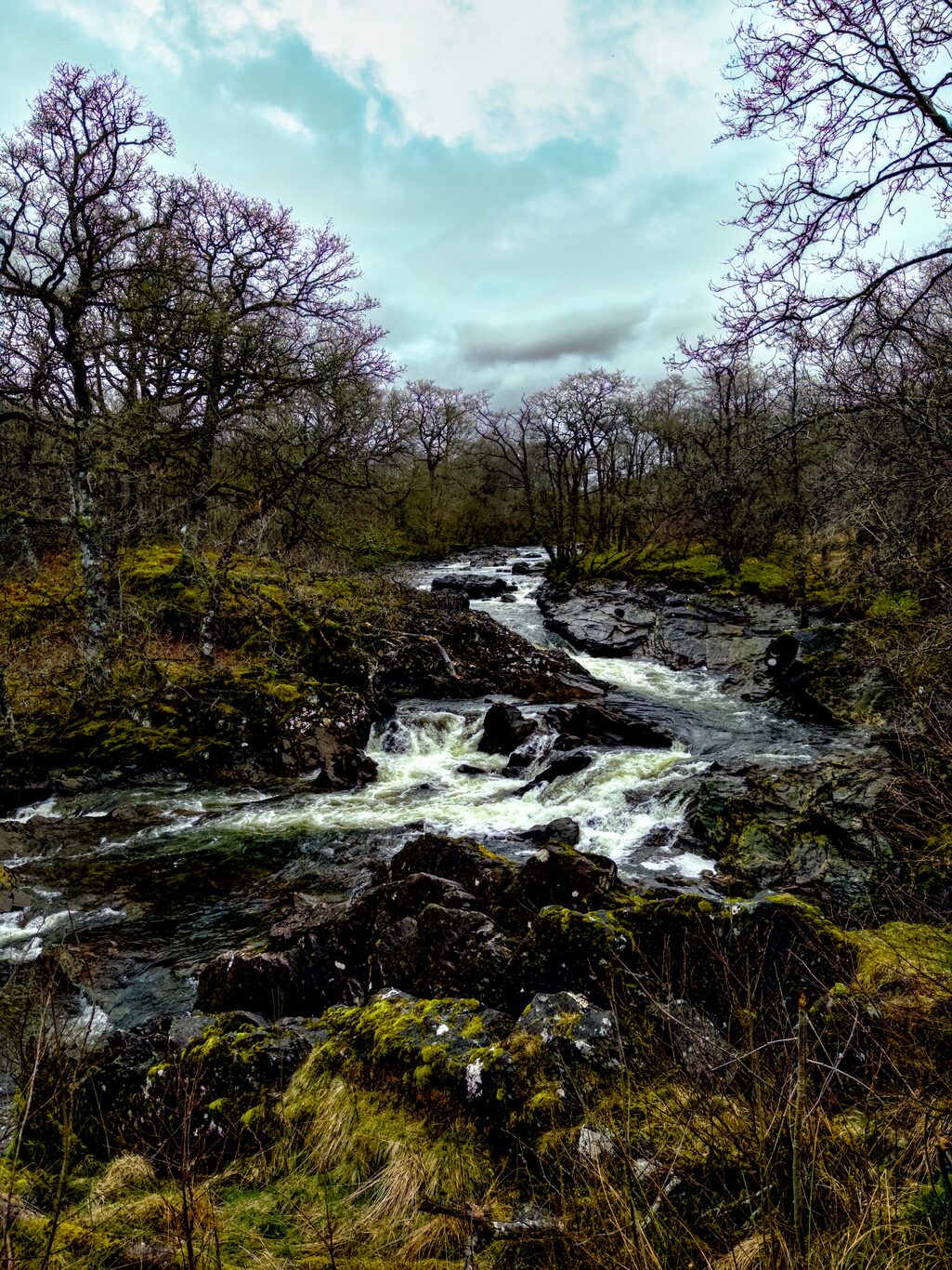
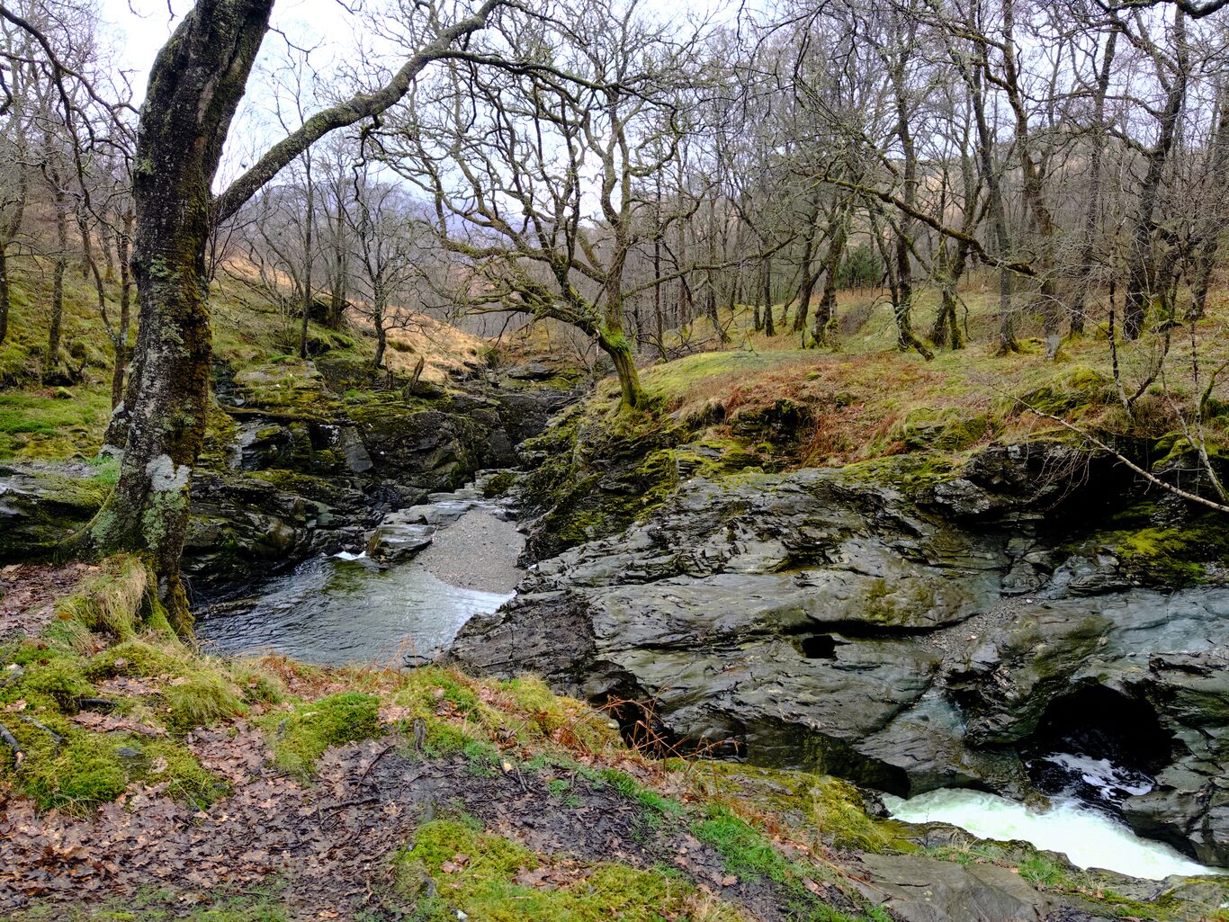
And We Walked Through a Forested Area#
(Click to see a larger version)

Camera Model: iPhone 15 Pro
Click for Map Location:N 56.3969528 W 4.6520139
Camera Model: iPhone 15 Pro
Click for Map Location:N 56.3979056 W 4.6513139
Camera Model: iPhone 15 Pro
Click for Map Location:N 56.4045833 W 4.6559556

Camera Model: iPhone 15 Pro
Click for Map Location:N 56.4064972 W 4.6575000

Camera Model: iPhone 15 Pro
Click for Map Location:N 56.4082611 W 4.6578778
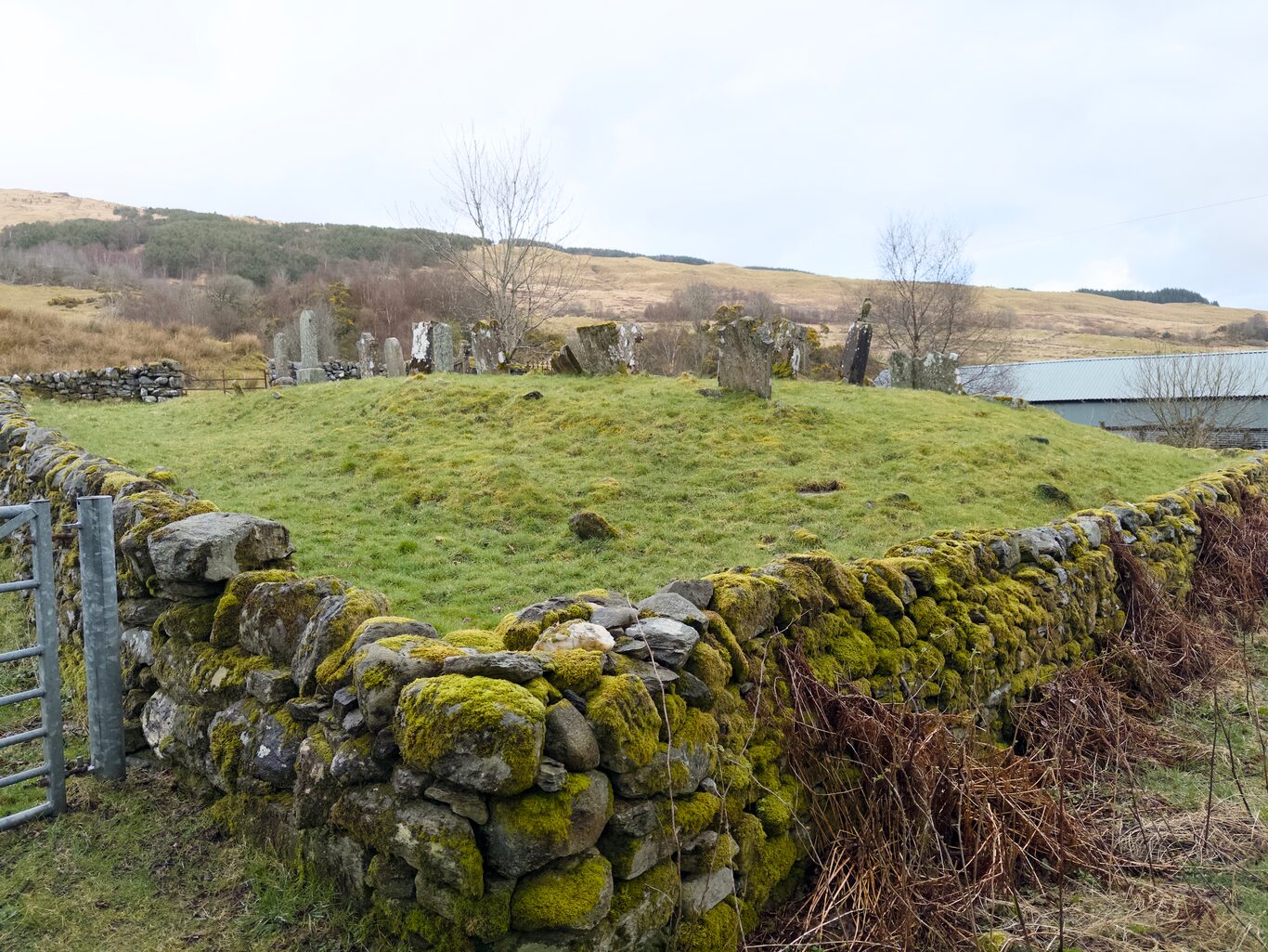
St. Fillan Priory#
We passed the mossy ruins of St. Fillan Priory (also called Strath Fillan Priory — “strath” meaning a low, wide valley), an old monastery building established in 1318 by the famous Robert the Bruce after he had been given sanctuary in a nearby building a few years earlier following a defeat in battle. I’d seen pictures while researching the trip. Now I was actually here in the presence of the fading ruins of the monastery, with a nearby ancient graveyard.
(Click to see a larger version)
My first view of St. Fillan Priory
Camera Model: iPhone 15 Pro
Click for Map Location:N 56.4193556 W 4.6611278
My first view of St. Fillan Priory
The old graveyard near the St. Fillan
Camera Model: iPhone 15 Pro
Click for Map Location:N 56.4194139 W 4.6609750
The old graveyard near the St. Fillan

A closer view of the ruins of St. Fillan Priory, orginally established around 1318
Camera Model: iPhone 15 Pro
Click for Map Location:N 56.4195222 W 4.6612611
A closer view of the ruins of St. Fillan Priory, orginally established around 1318
Onward to Tyndrum#
By the time we reached Tyndrum we were all very, very, oh so very glad to have arrived. My GPS receiver registered a 23 km distance today.
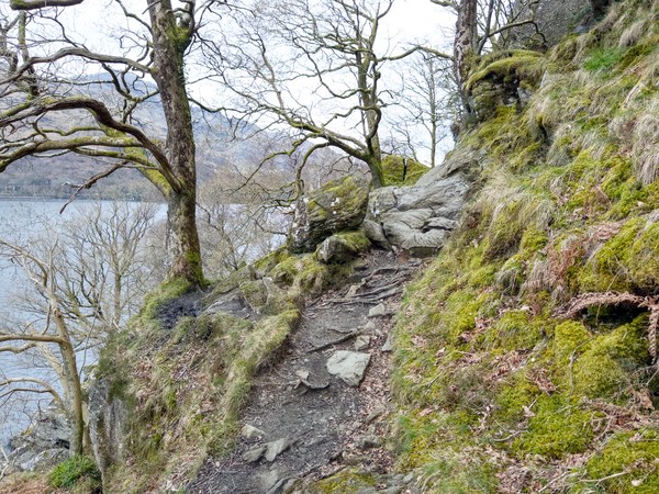
My notes that night remind me that the undulating hills one had to climb and descend throughout the day made for a strenuous walk, but at least the quality of the trail was far more straightforward — mostly paths and even road to walk on, rather than the constant slow, puzzling effort of figuring out how and where to make your next step that a good part of the trail along the shores of Loch Lomond was like.
My right leg was hurting, but that was nothing new after a day’s outing. That in itself wasn’t much to worry about. It was the fact that this cold was sapping my strength, and the next day’s leg was 31 km through a remote area with no chance of choosing an escape hatch if I found I had to.
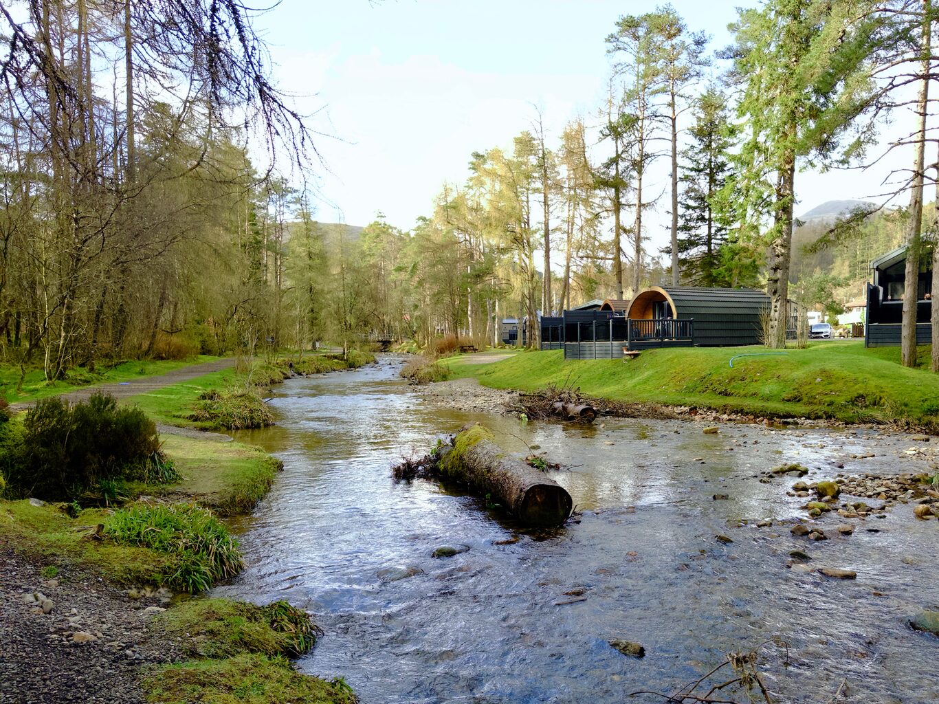
The Evening in Tyndrum With Big Decisions to Make#
I found my B&B and, after guessing the next morning’s breakfast with the proprietress, I was shown to my room. I peeled off all my wet clothes and had an oh-so-welcome hot shower, and after that I spent the entire evening in my room at the bed & breakfast. My supper was the leftover lunch I’d purchased for the day and probably a Clif bar or two.
I was fairly sure at that point that my health wouldn’t be allowing me to do this kind of walk, and in fact, in my case, it would have been a 31 km walk again the next day. The head and chest cold had sapped my strength. I felt pretty terrible, so I was looking at alternative plans.
That evening I spent far more time on my phone than usual checking bus schedules for options. I thought maybe I could try to walk the first leg to the Bridge of Orchy, and if I thought it would be too much, bail by taking a bus from there to the Kingshouse Hotel. The bus schedules just didn’t allow for that option; there was a bus, but far too early in the morning for me to get there on time to use it as my escape hatch if I needed it.
It was clear I needed to either walk the entire distance or skip the long leg and take the bus to the next accommodation and do my best to rest up. I thought that if I wasn’t rested enough, I would simply skip the next leg too. It didn’t come to that, but the feeling of being sick and weak made me consider the possibility.
I thought I’d try to get the best rest I could, and although the scales were tipped decidedly toward skipping the next day’s leg in favour of a day of rest, I postponed the final decision about that until the next morning.
The pictures of my room that night show a pile of used Kleenex beside the bed from me having to empty my nose of mucus every few minutes. Not a fun fact, right? I only share it to underline that I sure wasn’t feeling well at the end of this day’s walk.
I was nervous about my prospects for a good sleep because of the awful experience I’d had the night before at the Ardlui Hotel. But after taking a full muscle relaxant pill, I went right to sleep. I guess exhaustion — and the pill — won out over not being able to breathe very well: I had a huge sleep, not waking up once during the night.
Gallery#
These images were taken through the at times cloudy, wet, clearing and even “rainbowed” day. (Click to see a larger version)
Looking back south down the loch from the trail
Camera Model: iPhone 15 Pro
Click for Map Location:N 56.3027056 W 4.7039167
Looking back south down the loch from the trail
The undulating trail begins, as does the rain
Camera Model: iPhone 15 Pro
Click for Map Location:N 56.3039528 W 4.7047528
The undulating trail begins, as does the rain
Looking back down on Ardlui from the trail
Camera Model: iPhone 15 Pro
Click for Map Location:N 56.3047417 W 4.7174139
Looking back down on Ardlui from the trail
Careful stepping required here
Camera Model: iPhone 15 Pro
Click for Map Location:N 56.3095111 W 4.7073556
Careful stepping required here
This section was more straightforward
Camera Model: iPhone 15 Pro
Click for Map Location:N 56.3095139 W 4.7073194
This section was more straightforward

Laura & Bernie
Camera Model: iPhone 15 Pro
Click for Map Location:N 56.3113972 W 4.7082111
Laura & Bernie
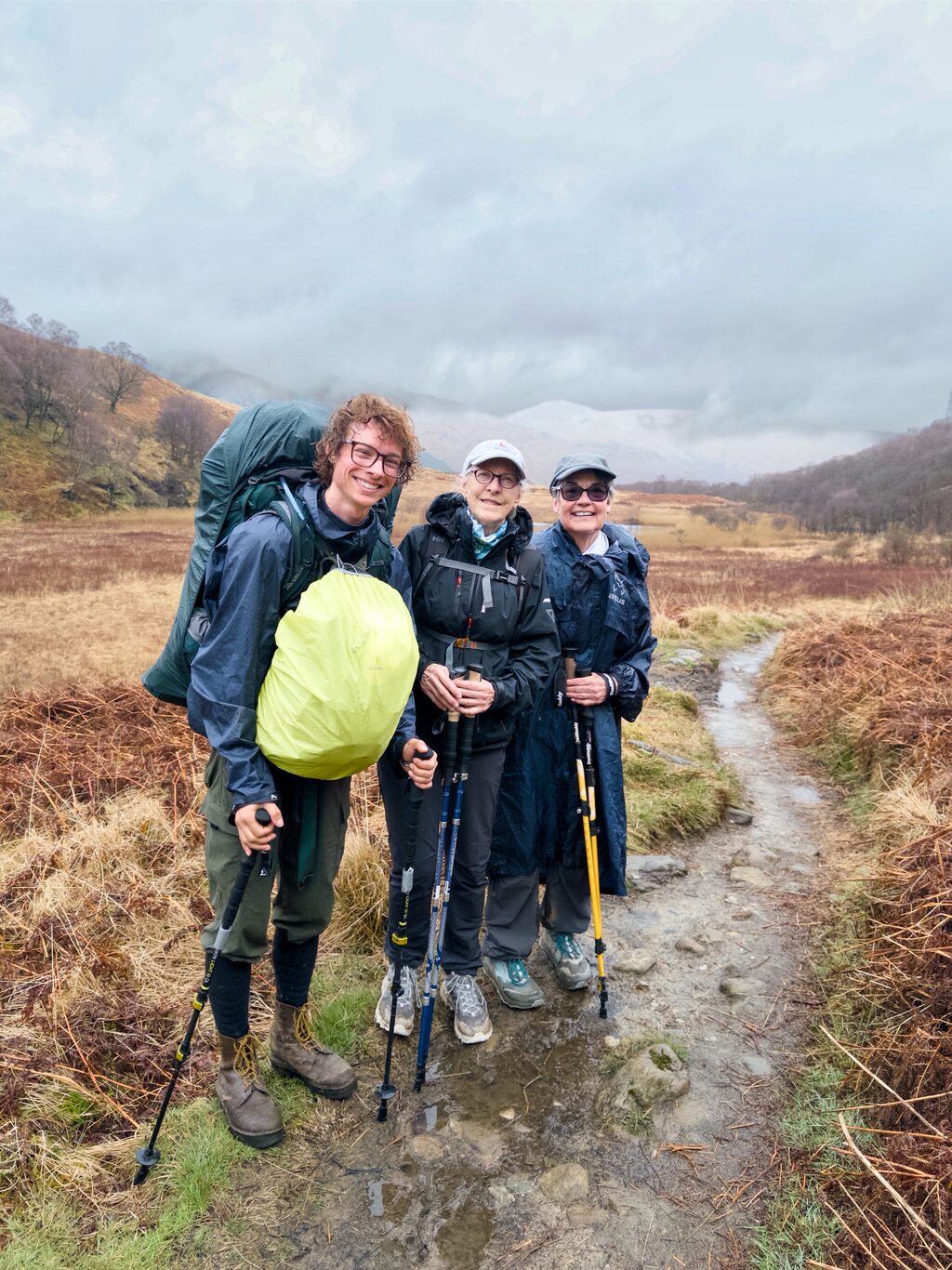
Remi, Laura & Bernie
Camera Model: iPhone 15 Pro
Click for Map Location:N 56.3113806 W 4.7082083
Remi, Laura & Bernie
Remi, Me & Laura
Remi, Me & Laura
Rocky sentinals
Camera Model: iPhone 15 Pro
Click for Map Location:N 56.3140750 W 4.7089583
Rocky sentinals
We came upon a few other trail mates
Camera Model: iPhone 15 Pro
Click for Map Location:N 56.3191639 W 4.7120972
We came upon a few other trail mates
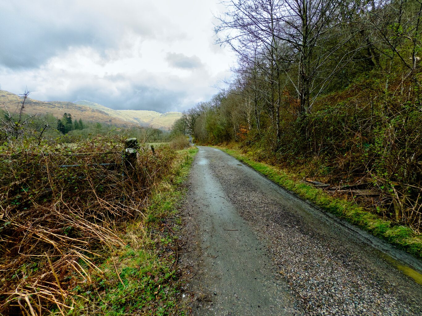
A stretch of actual roadway makes things easier.
Camera Model: iPhone 15 Pro
Click for Map Location:N 56.3310778 W 4.7165056
A stretch of actual roadway makes things easier.
This was a fast-flowing, rocky creek
Camera Model: iPhone 15 Pro
Click for Map Location:N 56.3444472 W 4.7066944
This was a fast-flowing, rocky creek
The water calms after the rocky obstacles
Camera Model: iPhone 15 Pro
Click for Map Location:N 56.3505194 W 4.6900639
The water calms after the rocky obstacles

A cottage along the way
Camera Model: iPhone 15 Pro
Click for Map Location:N 56.3600972 W 4.6704667
A cottage along the way

The trail runs along the River Falloch for a stretch
Camera Model: iPhone 15 Pro
Click for Map Location:N 56.3623944 W 4.6665833
The trail runs along the River Falloch for a stretch
The trail beside the River Falloch
Camera Model: iPhone 15 Pro
Click for Map Location:N 56.3629722 W 4.6670472
The trail beside the River Falloch
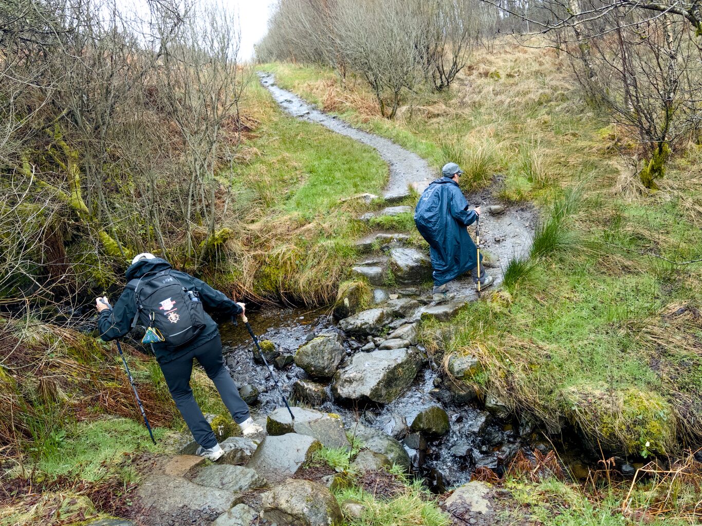
Slippery rocks over a small run off
Camera Model: iPhone 15 Pro
Click for Map Location:N 56.3690861 W 4.6582583
Slippery rocks over a small run off
A West Highland Way signpost with character!
Camera Model: iPhone 15 Pro
Click for Map Location:N 56.3693139 W 4.6580556
A West Highland Way signpost with character!
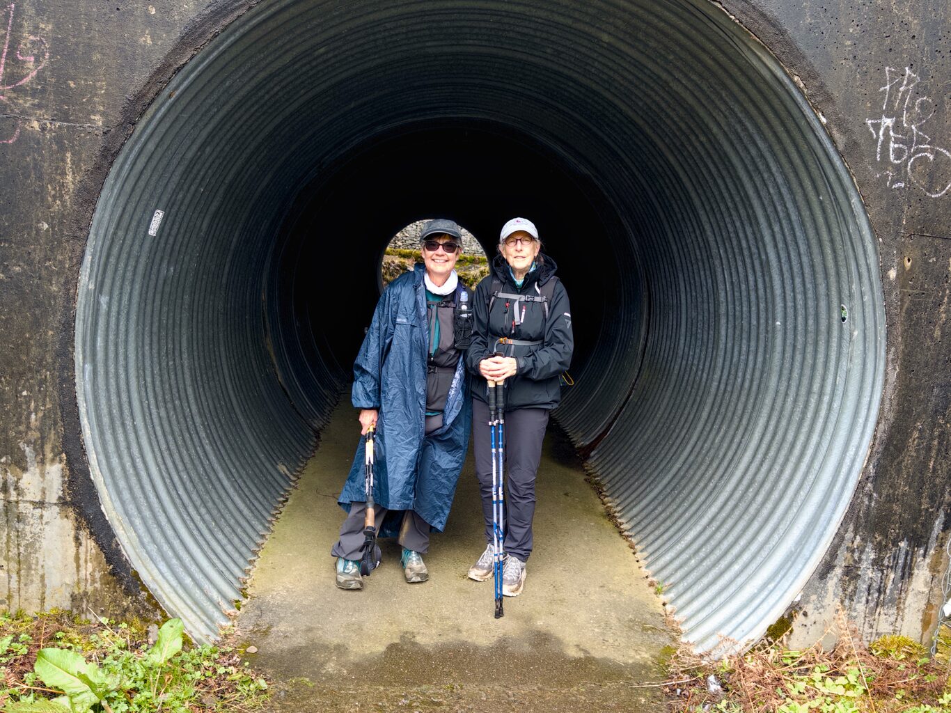
Bernie & Laura in the A82 highway underpass
Camera Model: iPhone 15 Pro
Click for Map Location:N 56.3707083 W 4.6570528
Bernie & Laura in the A82 highway underpass
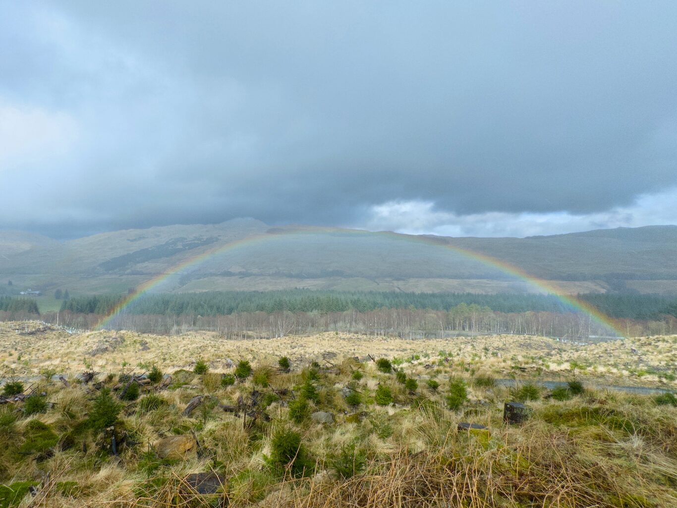
A full rainbow, one of three we saw today
Camera Model: iPhone 15 Pro
Click for Map Location:N 56.4088444 W 4.6597833
A full rainbow, one of three we saw today
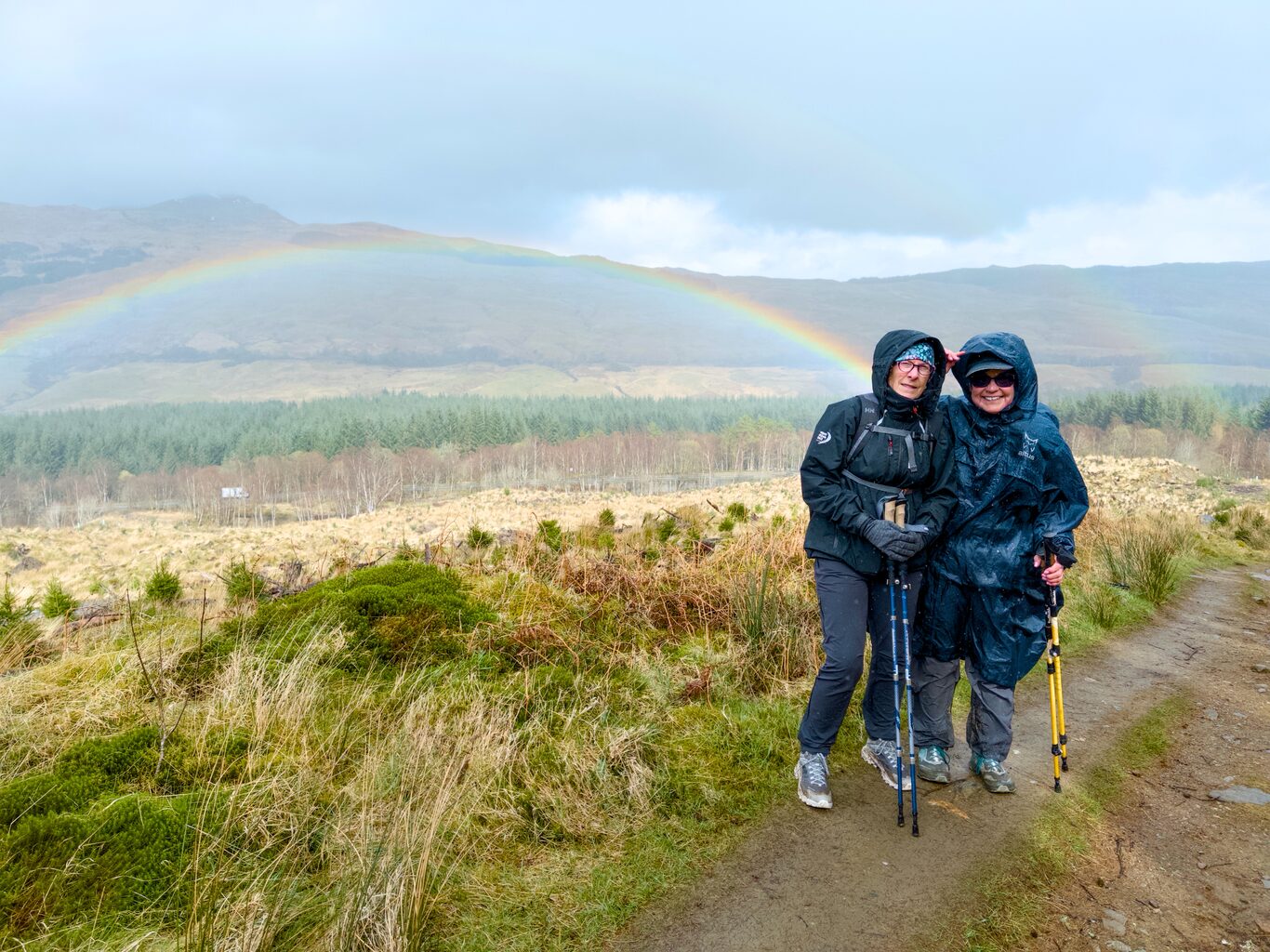
Laura & Bernie at the end of rainbow
Camera Model: iPhone 15 Pro
Click for Map Location:N 56.4088639 W 4.6598806
Laura & Bernie at the end of rainbow

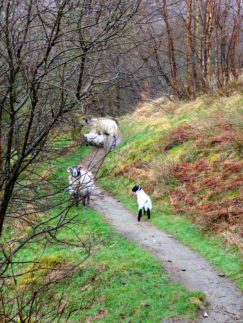
Highland cows
Camera Model: iPhone 15 Pro
Click for Map Location:N 56.4156833 W 4.6629333
Highland cows
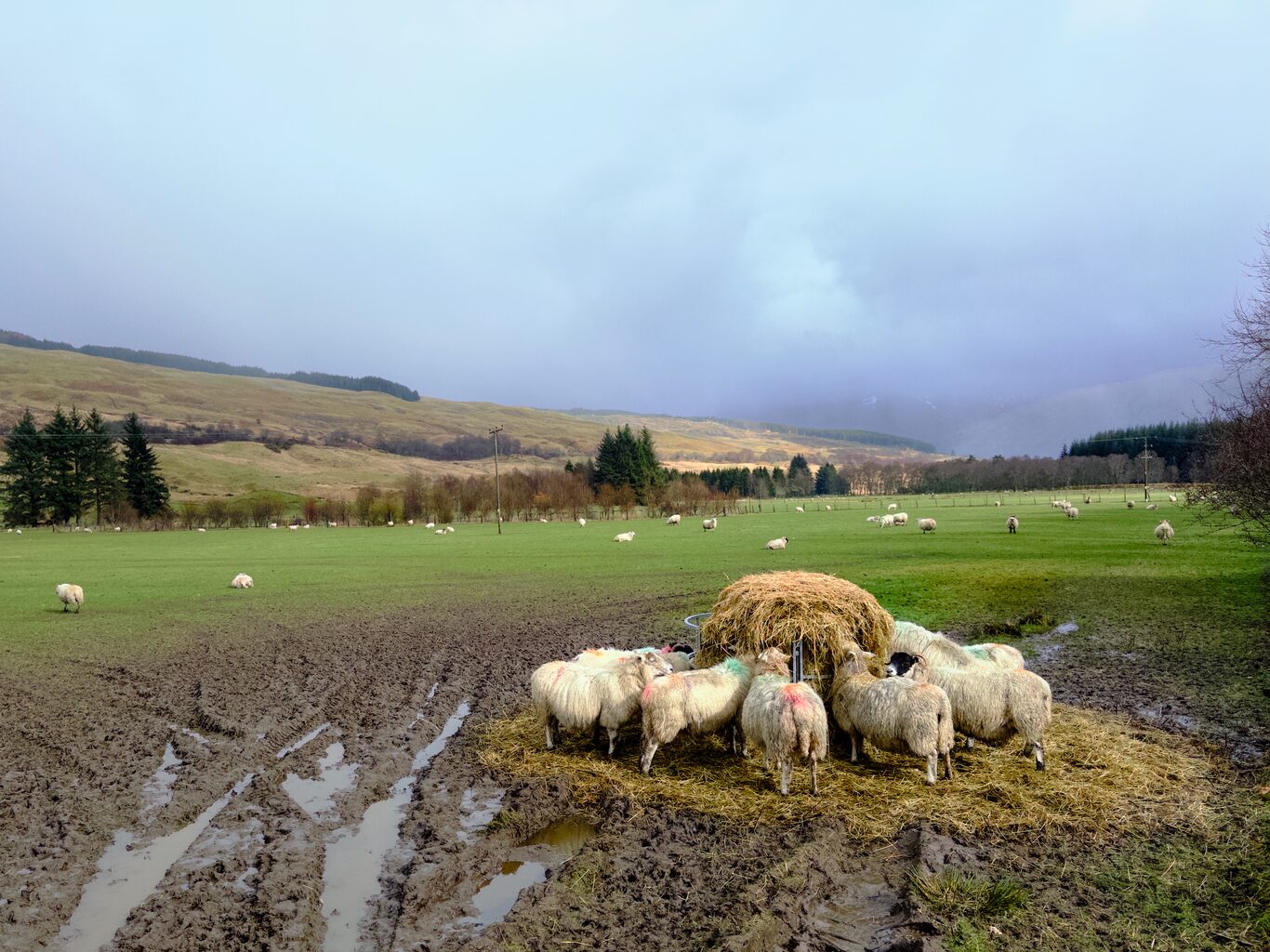
Sheep at the dinner table
Camera Model: iPhone 15 Pro
Click for Map Location:N 56.4164389 W 4.6626361
Sheep at the dinner table

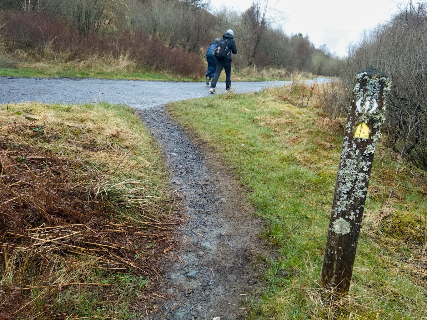
By this time in the hike, I felt how this signpost looks.
Camera Model: iPhone 15 Pro
Click for Map Location:N 56.4226861 W 4.6784417
By this time in the hike, I felt how this signpost looks.
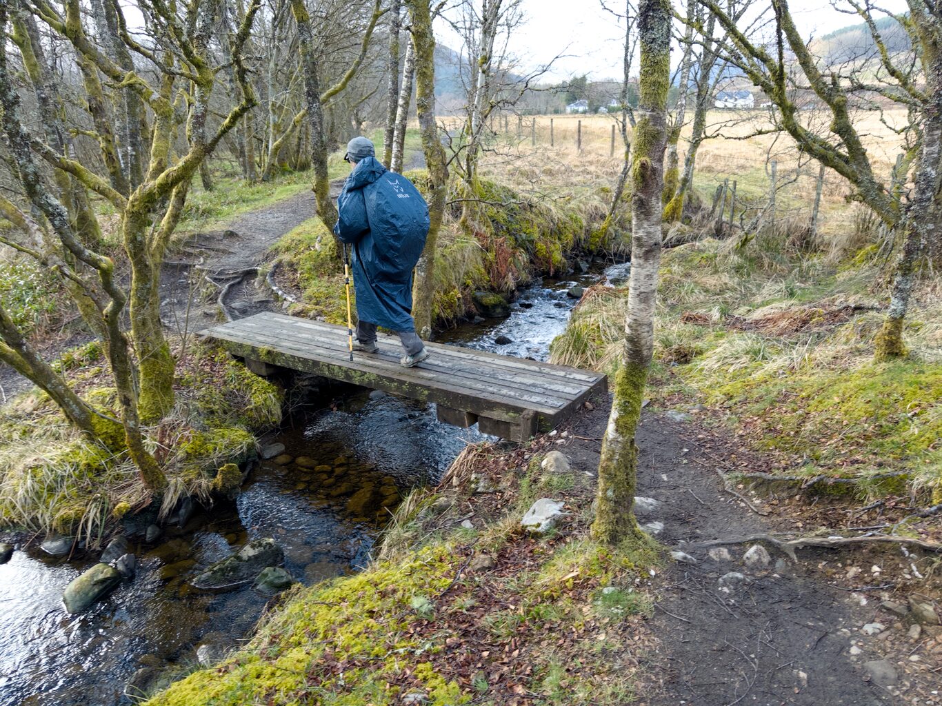
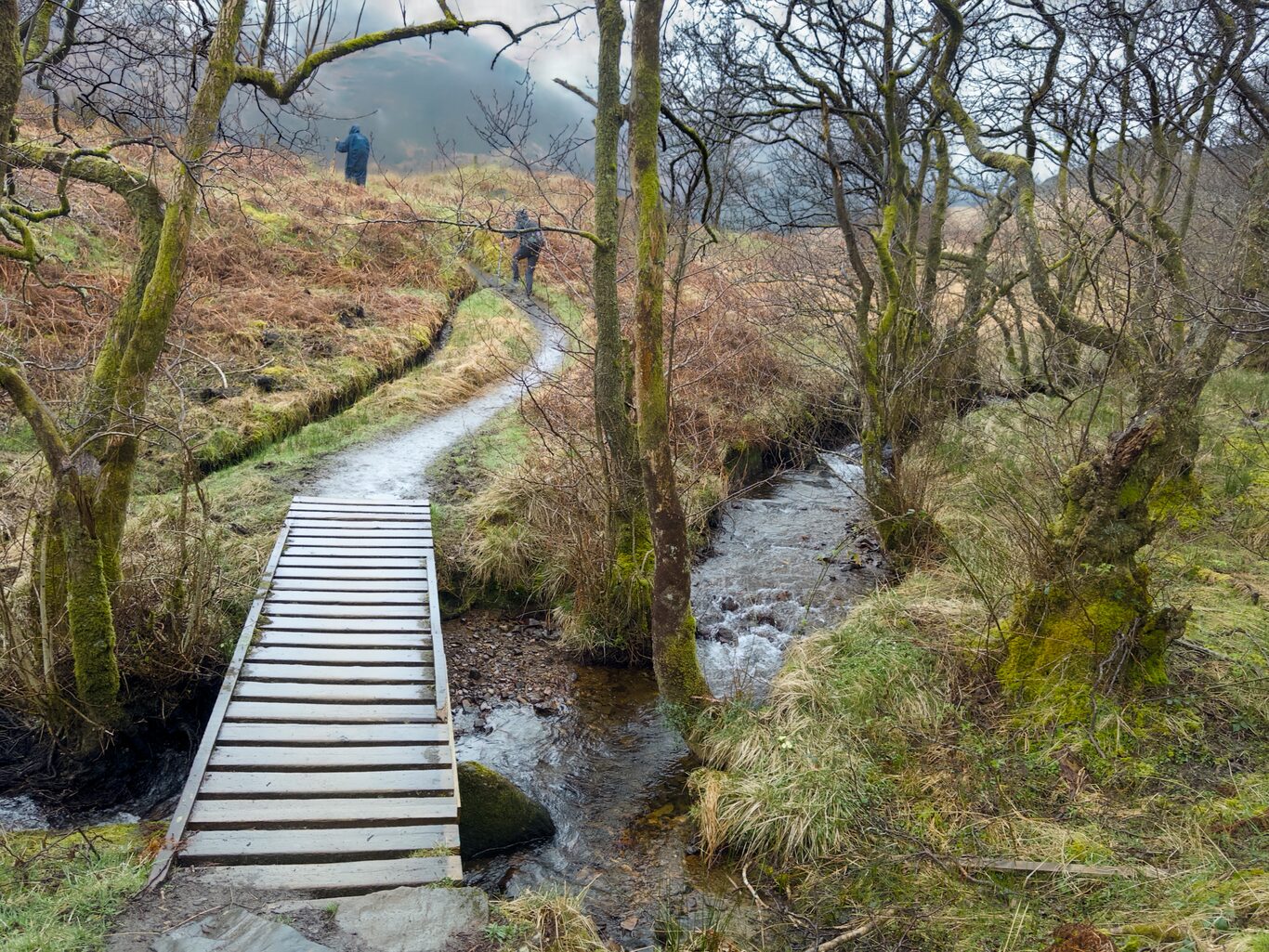
Bernie crossing a stream near Tyndrum
Camera Model: iPhone 15 Pro
Click for Map Location:N 56.4228222 W 4.6856361
Bernie crossing a stream near Tyndrum
Finally I reached the outskirts of Tyndrum
Camera Model: iPhone 15 Pro
Click for Map Location:N 56.4325056 W 4.7081444
Finally I reached the outskirts of Tyndrum

West Highland Way - 2026 - This article is part of a series.
Related
West Highland Way - Day 3 - Rowardennan to Ardlui
West Highland Way - Day 2 - Drymen to Rowardennan