West Highland Way - Day 3 - Rowardennan to Ardlui
West Highland Way - 2026 - This article is part of a series.
What is the West Highland Way?
The West Highland Way is a 154 km (9 mile) walking trail in Scotland, running from Milngavie (near Glasgow) to Fort William. It passes through diverse landscapes, including Loch Lomond, open moors, and mountainous terrains. You can view entire route here. (Map by Westhighlandway.org
My Route Today#
Breakfast at Rowardennan Hotel#
The breakfast at the hotel was buffet style, which gave me all the options available for a full Scottish breakfast. I was getting used to this kind of breakfast because it gave me the feeling of getting “fueled up” for the day’s walk. But eating too much brought its own feeling of weighing one down, so I went relatively easy on the buffet-style option.
After breakfast, I went out to the convenience store-like shop just in front of the hotel and bought an overpriced prepared sandwich and an overpriced Coke. This kind of sugary drink is something I very rarely drink at home, but for the past few days, a sugary drink has been a nice treat on the trail: it delivers a brief shot of needed quick energy.
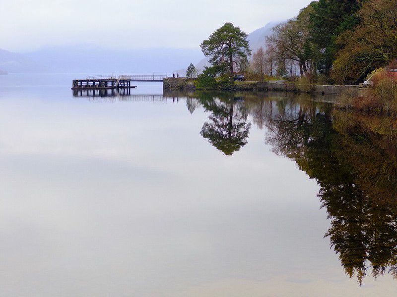
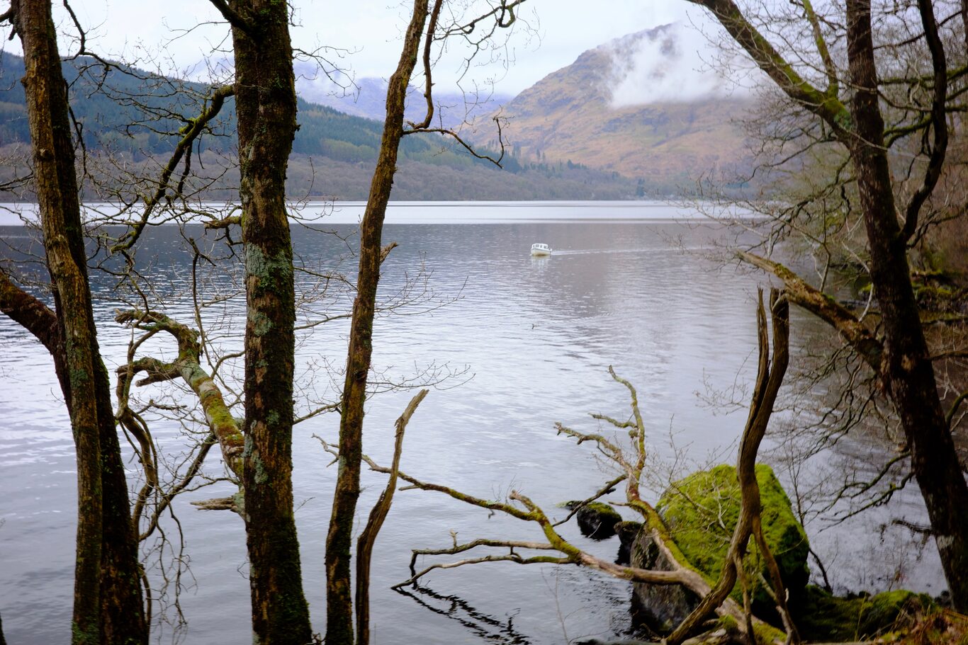
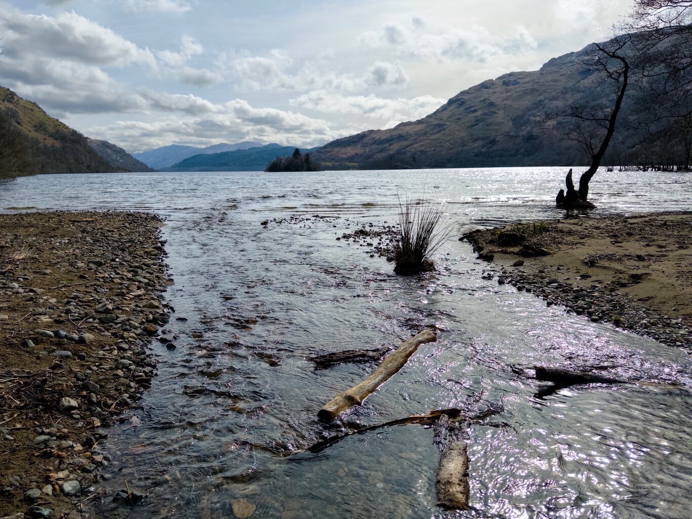
Before leaving the hotel, I took some time to capture the picturesque view from the nearby shoreline. It’s a beautiful place to behold and because of the overcast sky and calmness of the water a couple turned out to be nice “negative space” pictures.
Starting out from Rowardennan Hotel#
Today’s leg was billed in the itinerary descriptions as “Arguably, the toughest section of the whole route.” At this point in the day, those were only words, difficult to judge how true until the trail is actually walked on.
High Road Low Road#
There’s a point in the trail where usually you have a choice between taking the path that follows the edge of the loch. Some blogs said this path was better so as not to miss the views from the loch side. The other option was to take the “high road,” which initially gains elevation but then follows a wider, easier-to-navigate path. My plan before arriving was to take the “high road.” This path eventually merges with the loch-side trail later, so any idea that you would miss anything especially memorable didn’t make much sense to me.
As it turned out, I got a message from Macs Adventures about a week before the trek started that the loch-side section of the trail was closed for repair work, and taking the “high road” was mandatory. That suited me fine.
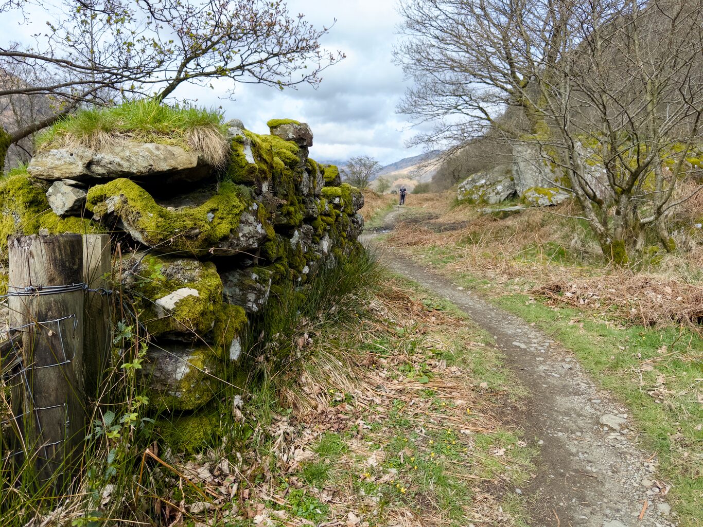
I spent the first section of the trail walking solo, but after a time, walked along with a duo of women, one a young Scottish woman, the other an American. At that point, we were walking on more of a road than a trail, and the Scottish woman who had walked this section in the past repeated a couple of times, just to manage expectations for the newbies, that “It’s not all like this.”
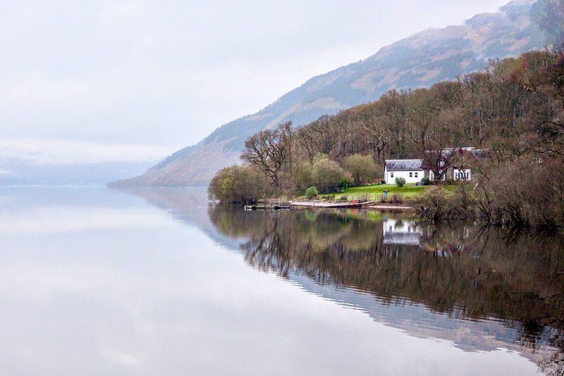
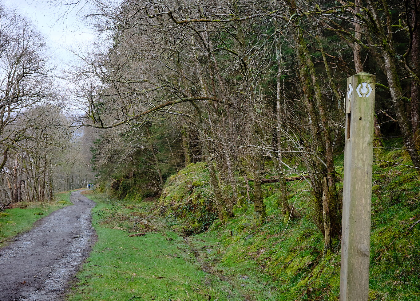
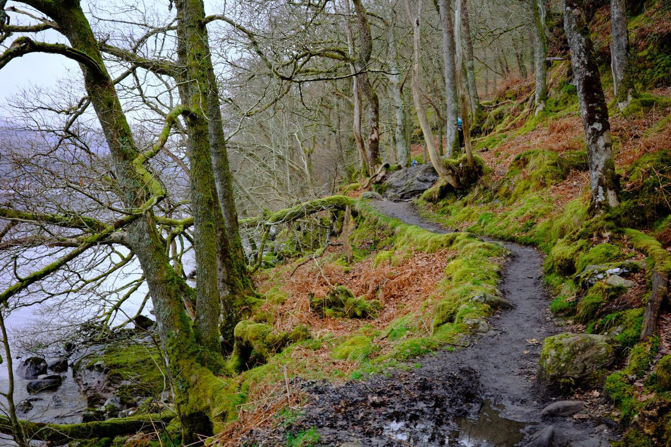
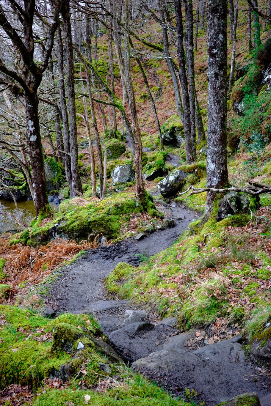
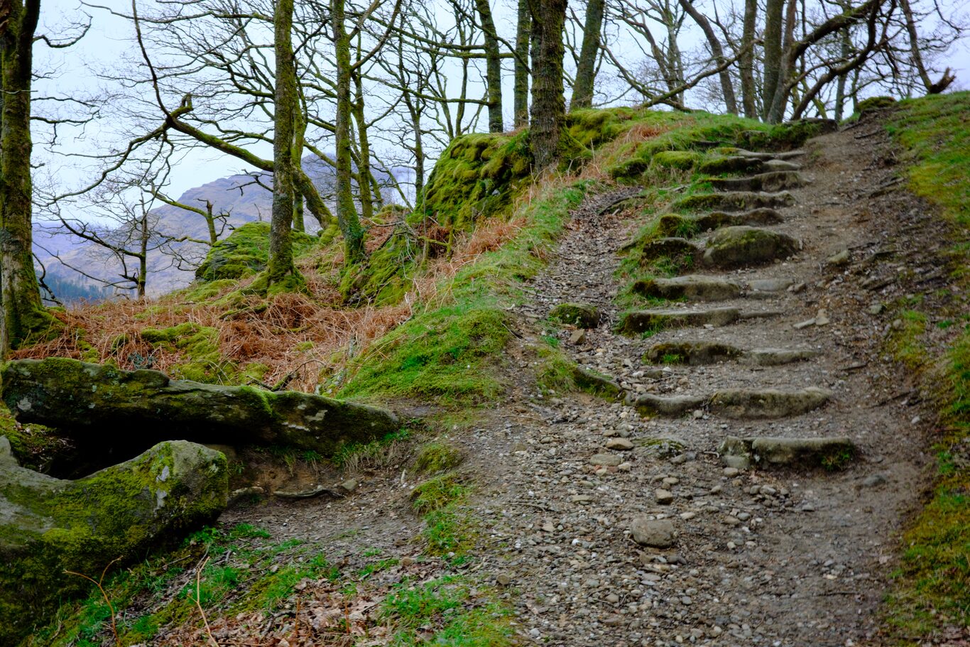
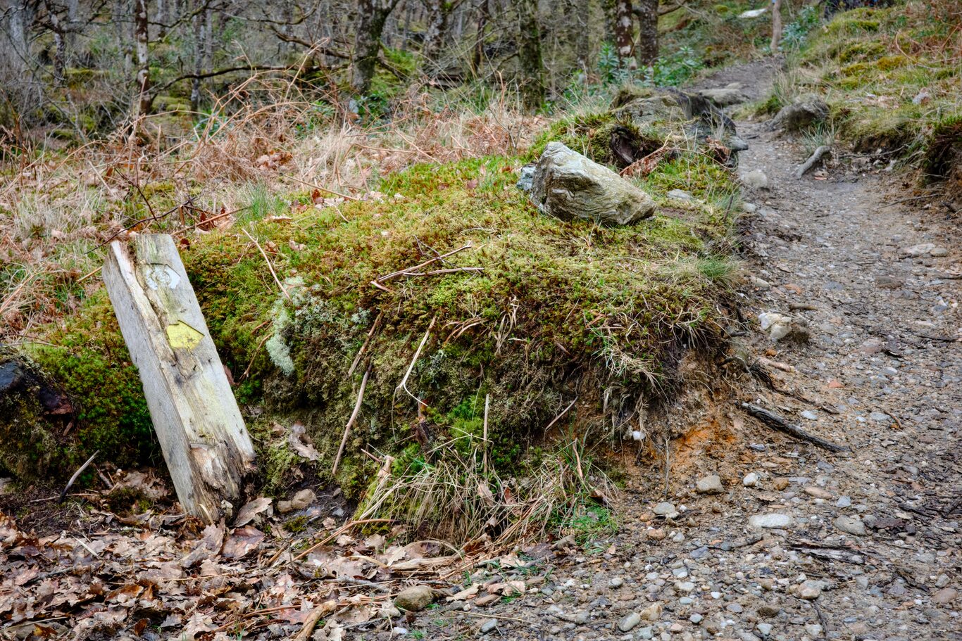
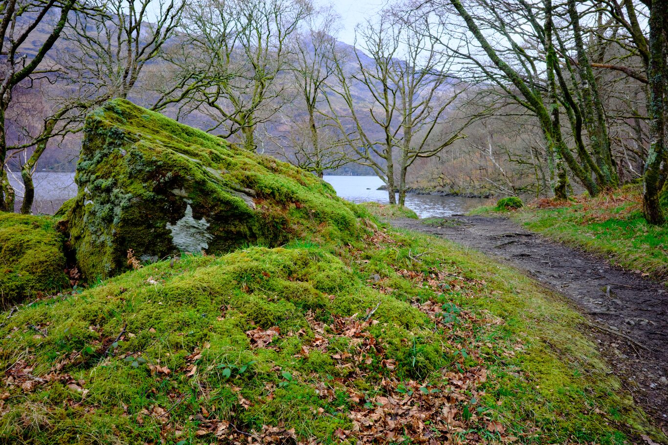
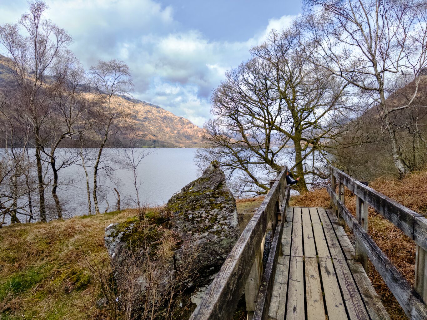
The First “Tame” Section of the Today’s Hike#
(Click to see a larger version)
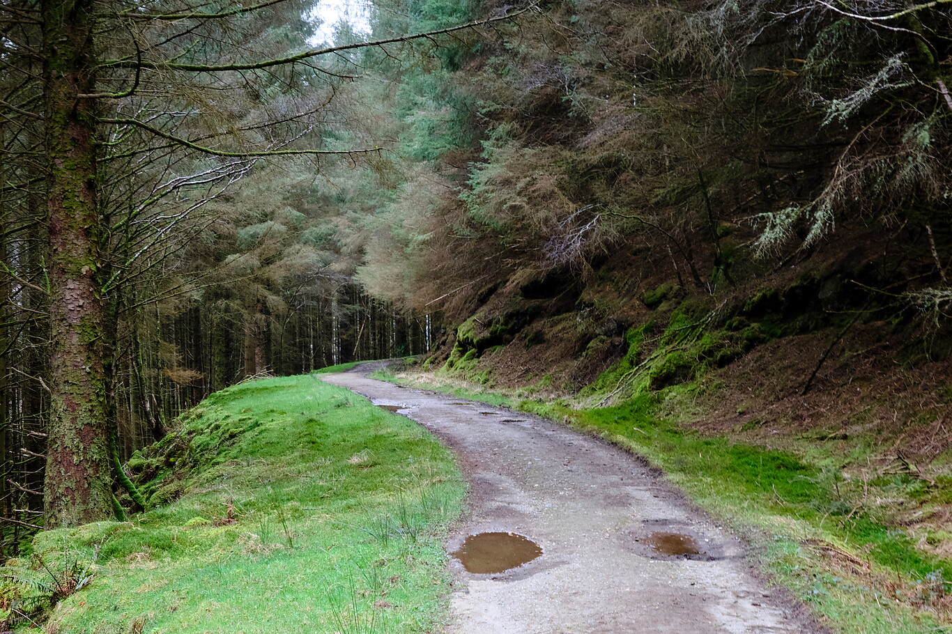
Camera Model: RICOH GR IIIx
Click for Map Location:N 56.1844278 W 4.6691917
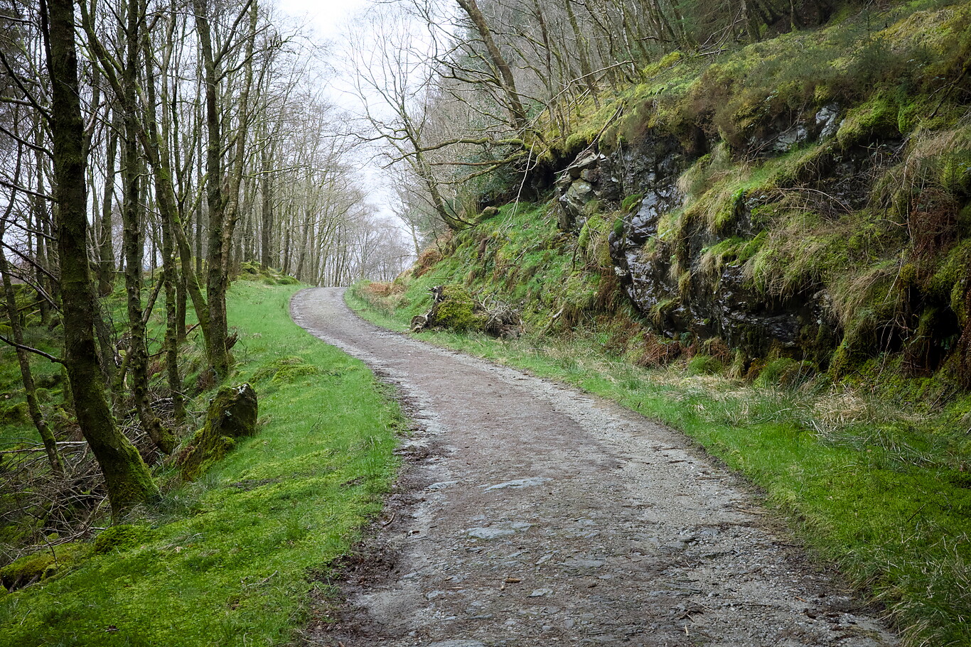
Camera Model: RICOH GR IIIx
Click for Map Location:N 56.1853361 W 4.6713500
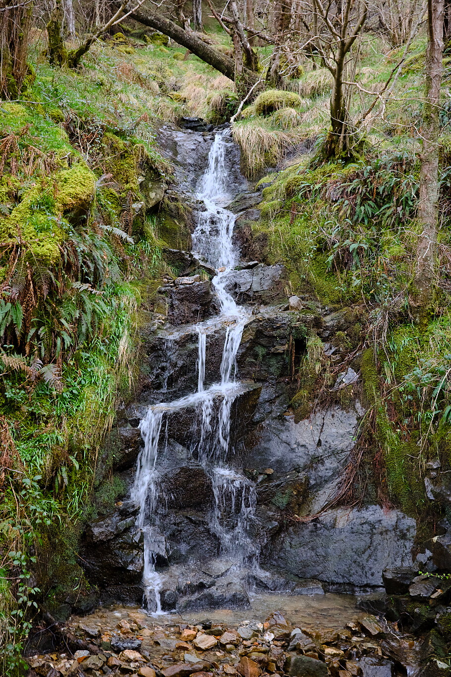
Camera Model: RICOH GR IIIx
Click for Map Location:N 56.1914694 W 4.6770472
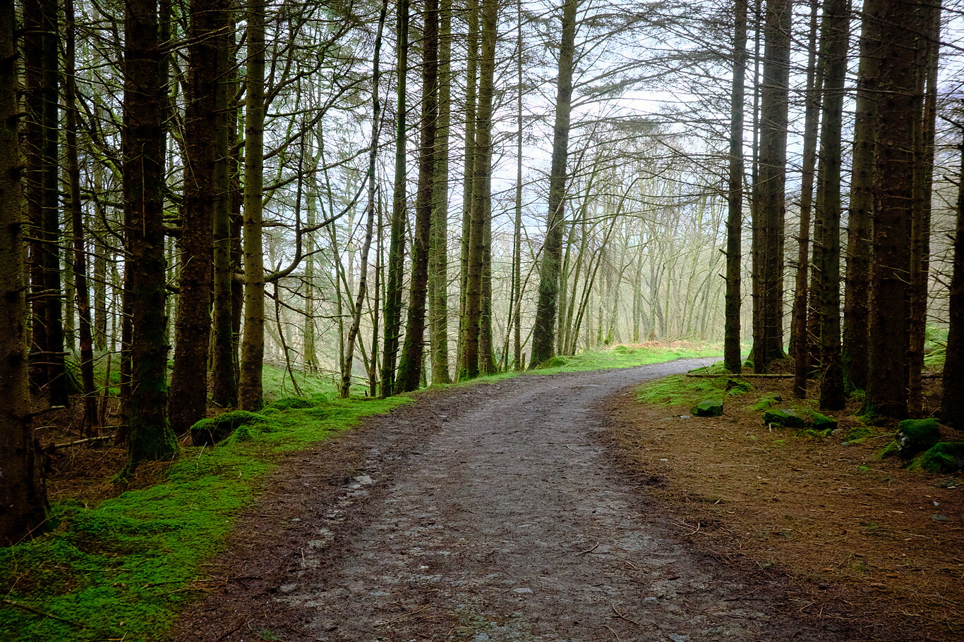
Camera Model: RICOH GR IIIx
Click for Map Location:N 56.2013472 W 4.6798194
Camera Model: RICOH GR IIIx
Click for Map Location:N 56.2039750 W 4.6792750
Camera Model: RICOH GR IIIx
Click for Map Location:N 56.2075222 W 4.6776694
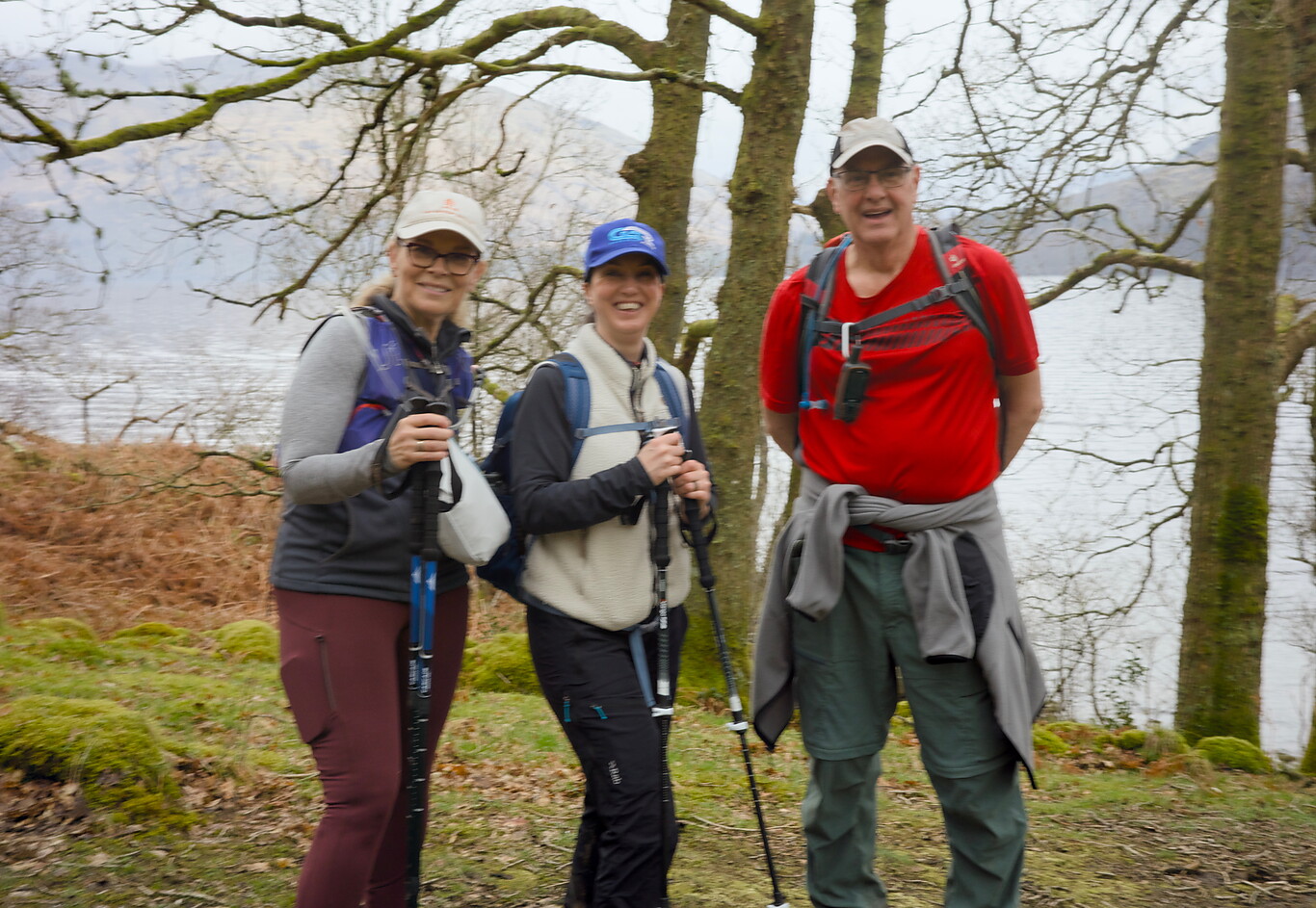
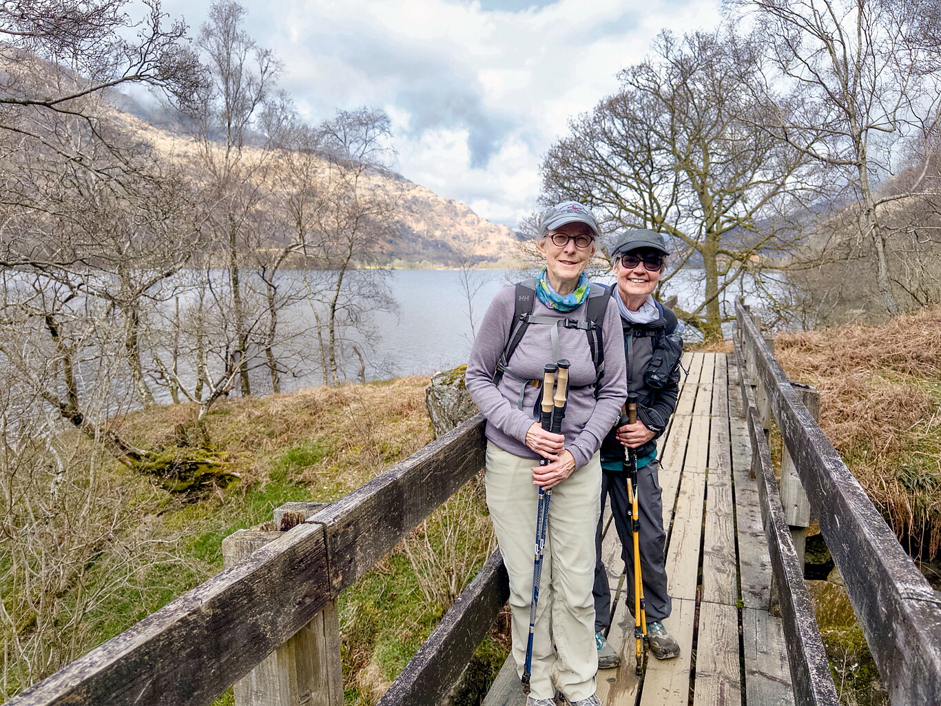
A blurry image of my temporary hiking partners,(l-r) the American and Scottish women and me
Camera Model: RICOH GR IIIx
Click for Map Location:N 56.2191806 W 4.6757750
A blurry image of my temporary hiking partners,(l-r) the American and Scottish women and me
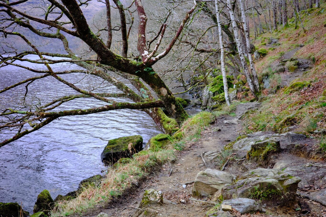
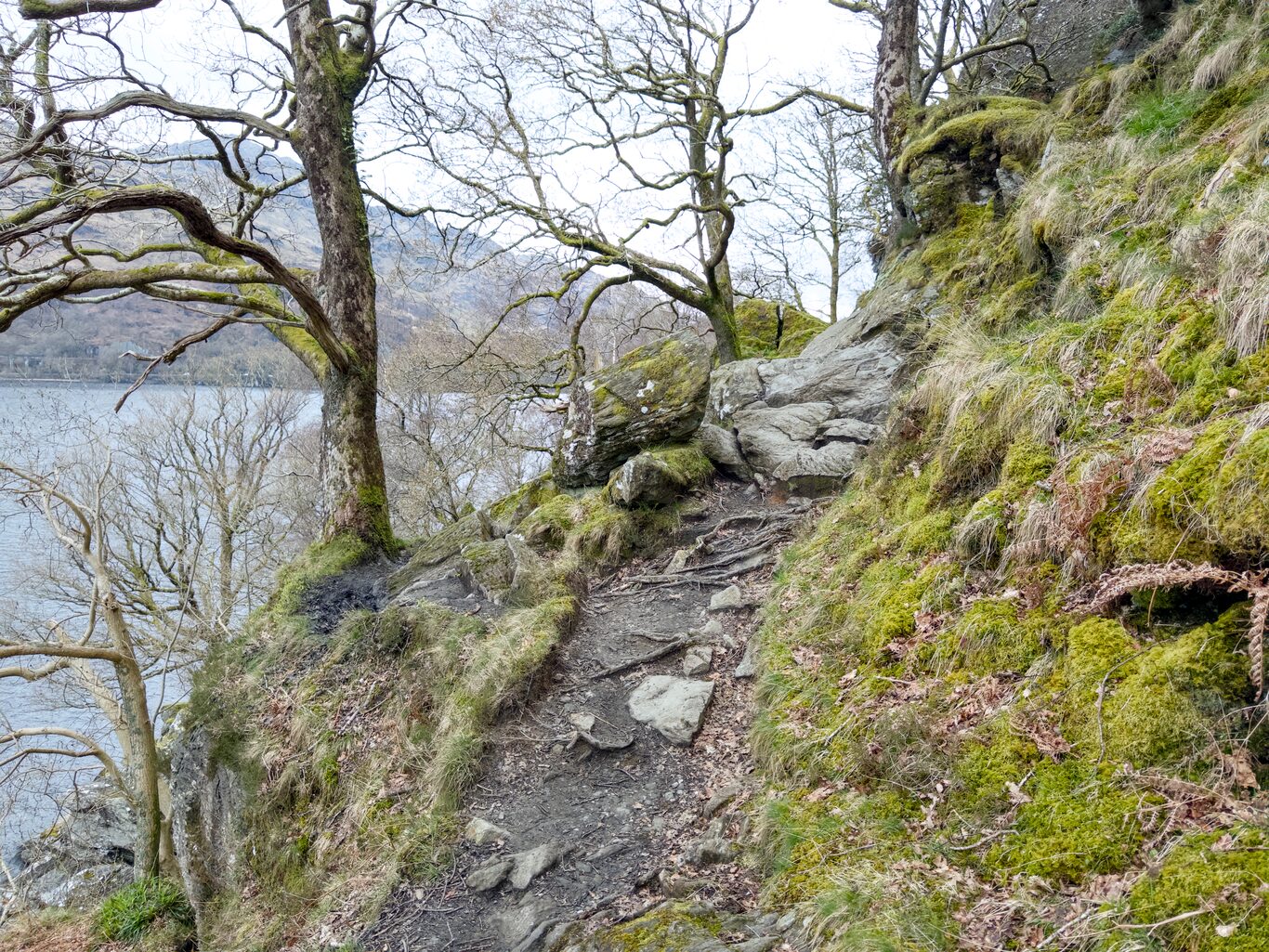
She was right: the majority of the trail was decidedly not like the wide trail we started out on in the morning.
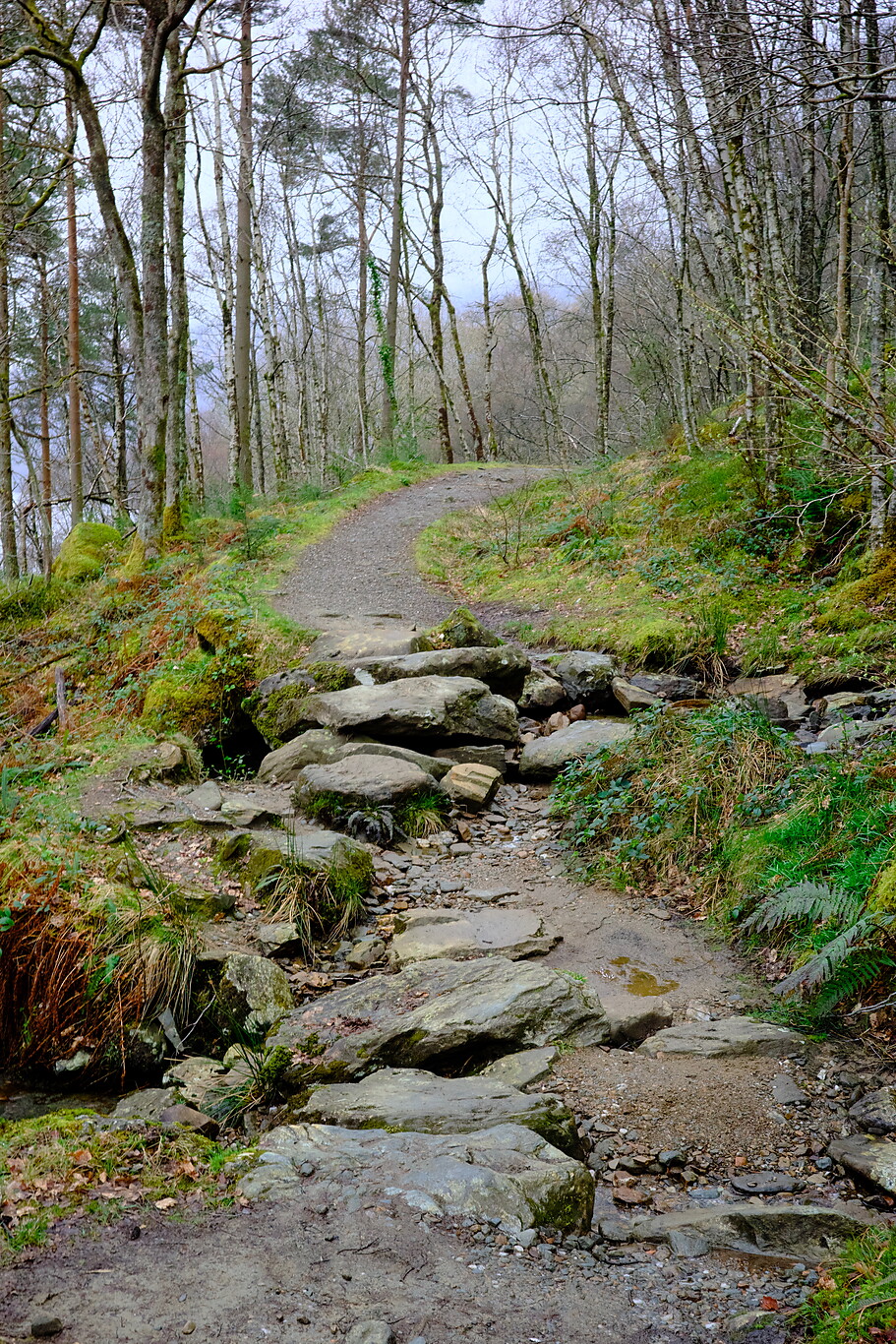
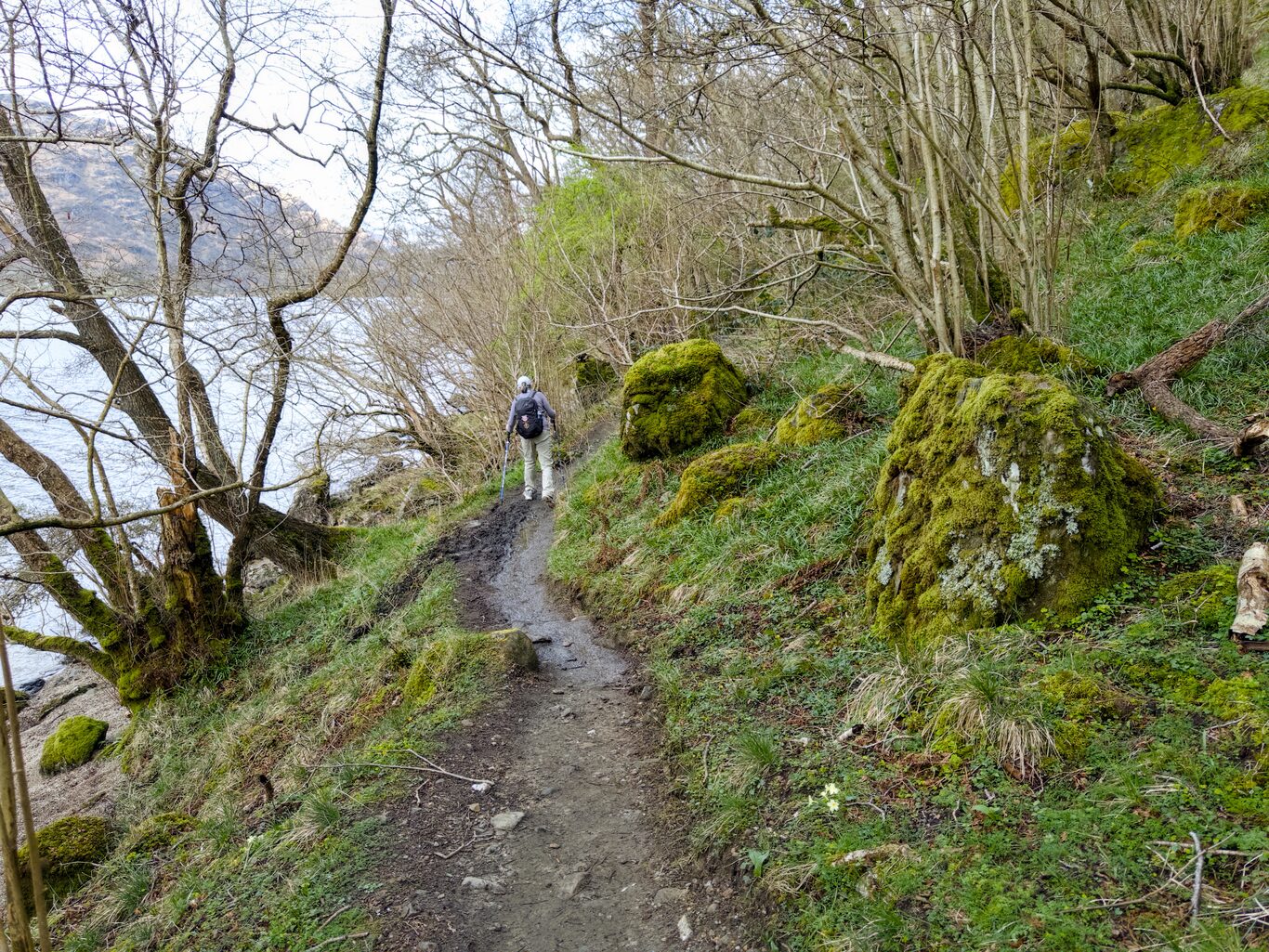
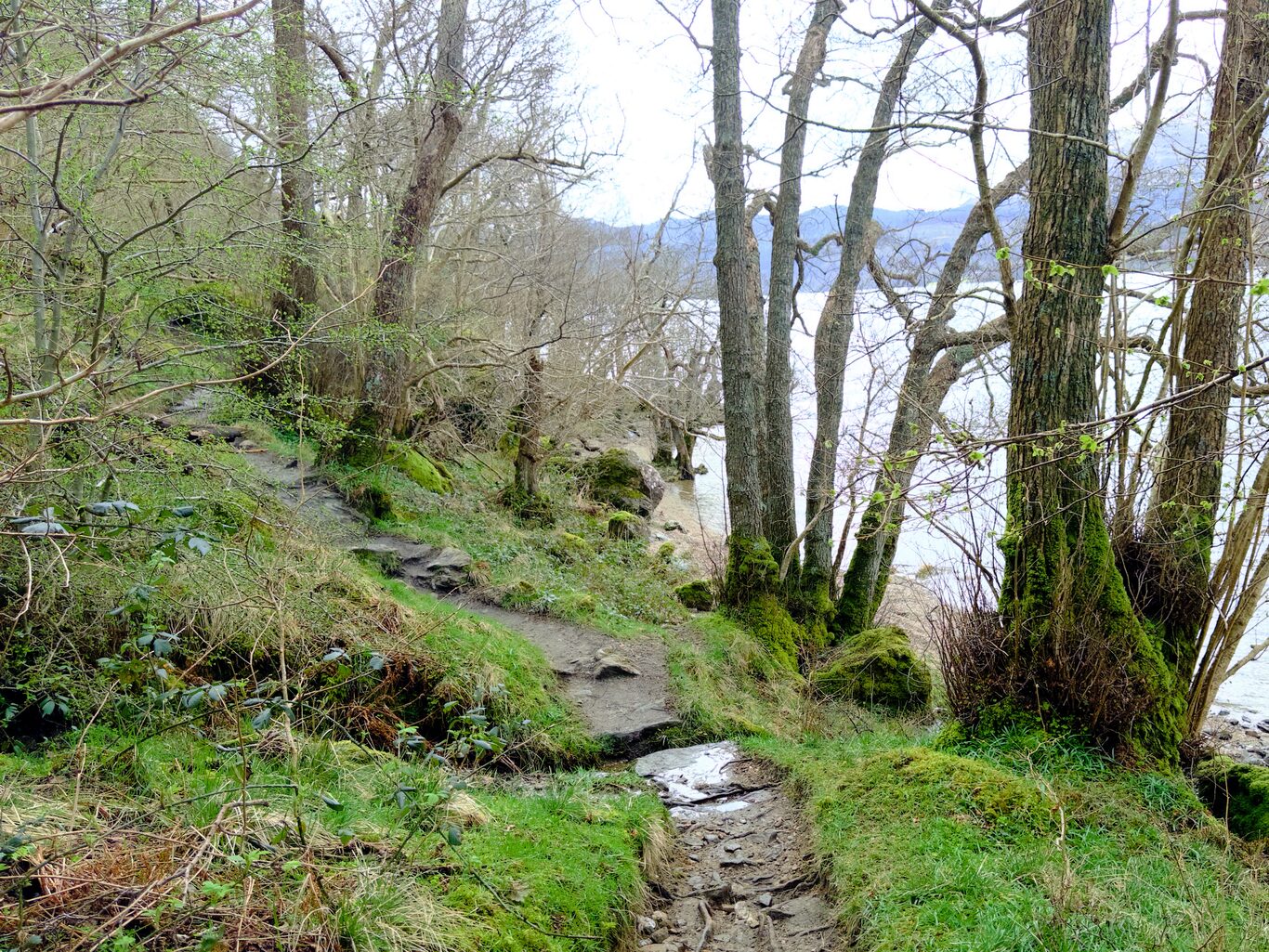
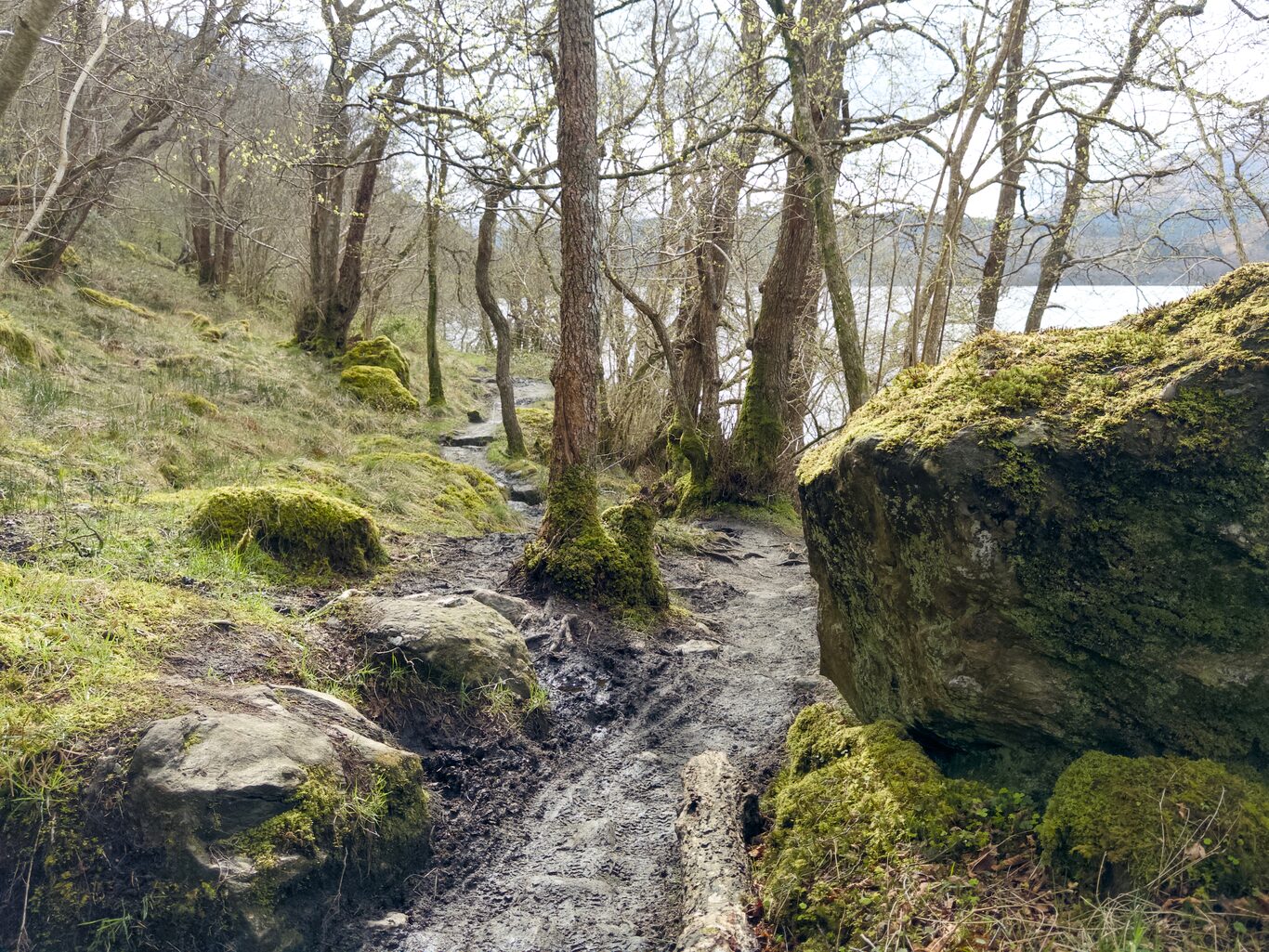
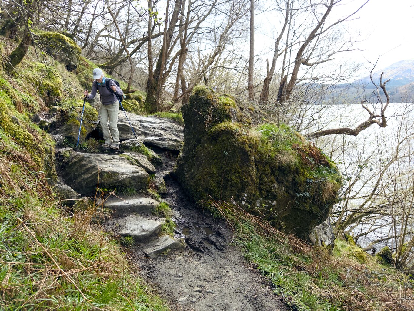
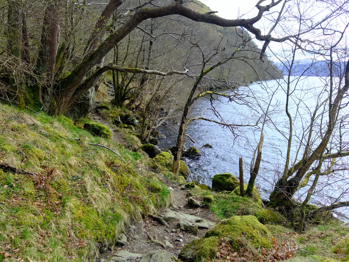
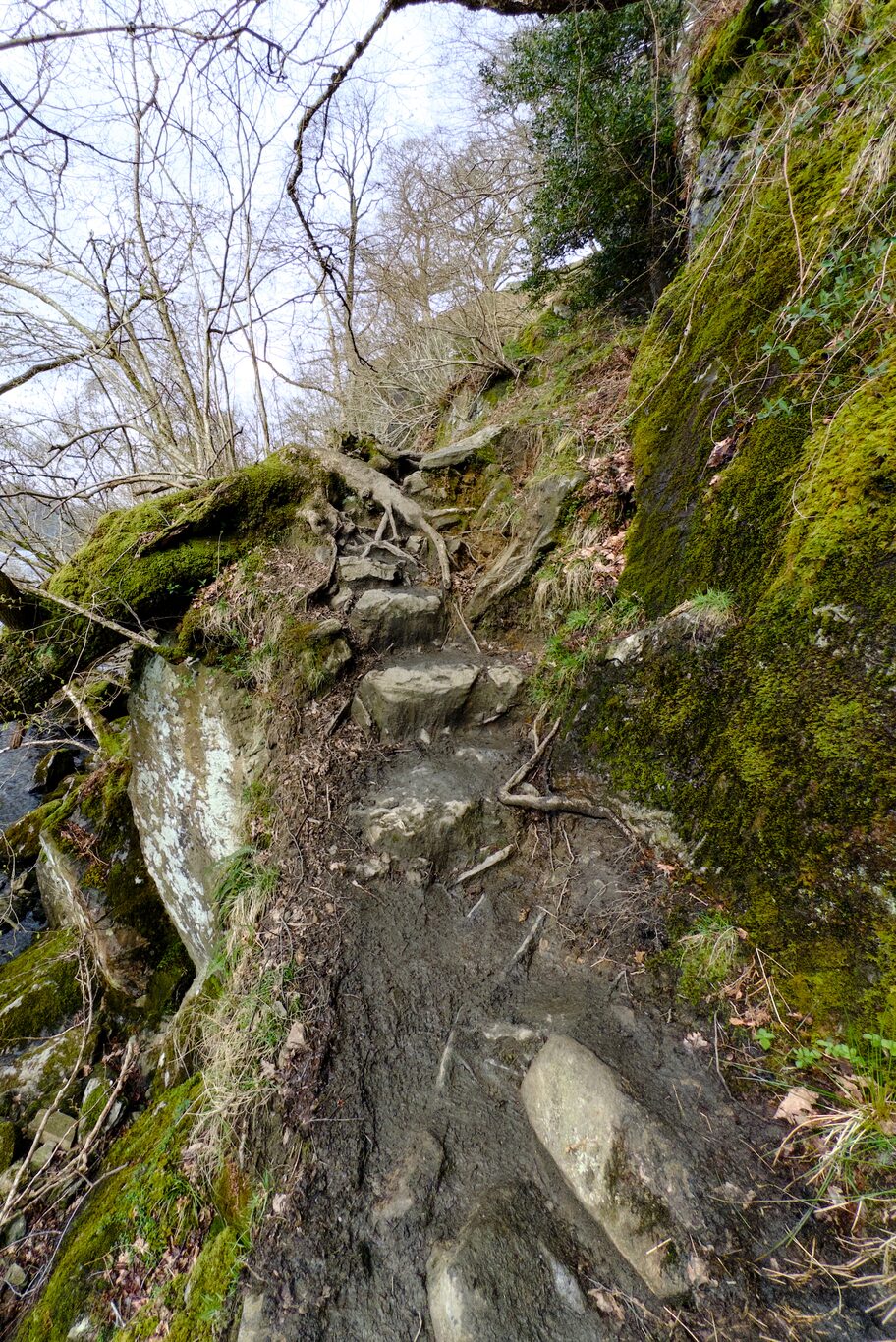
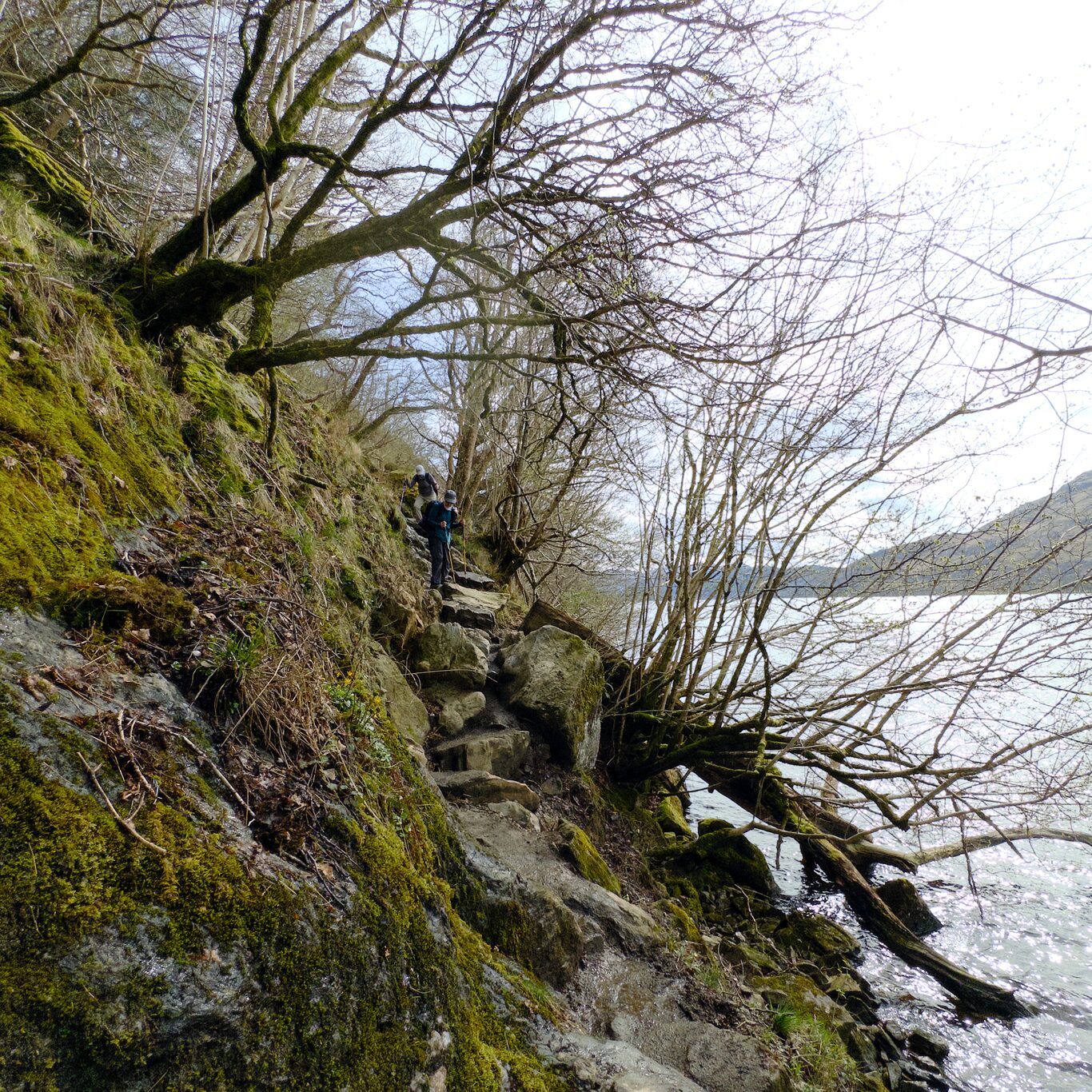
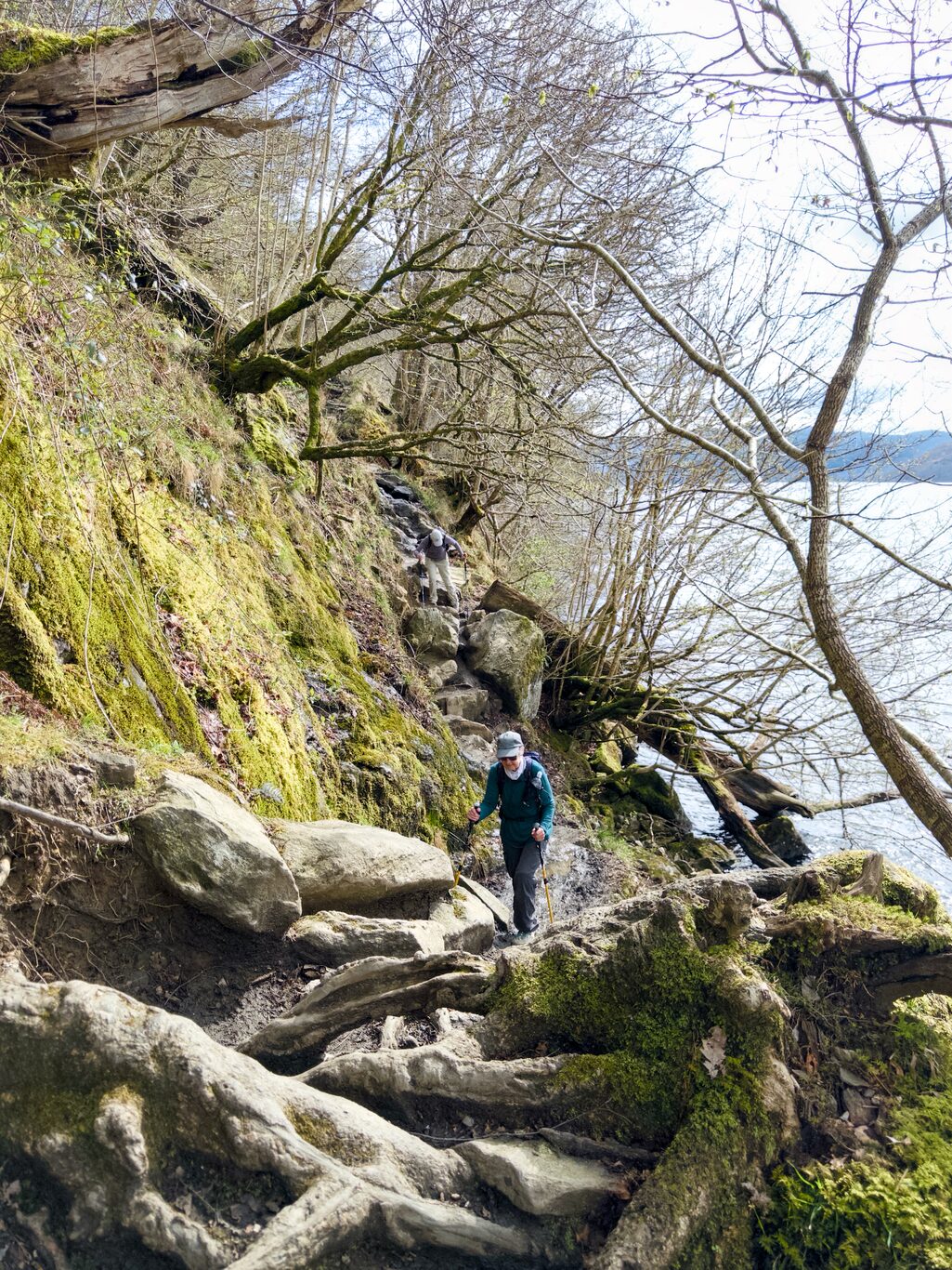
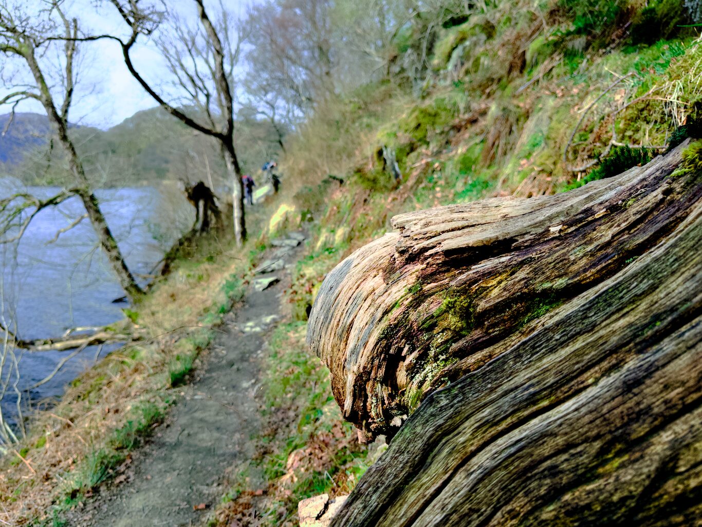
The Trail Itself was the Main Story Today#
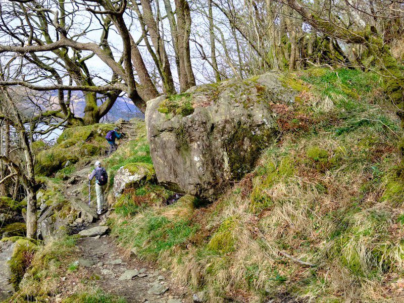
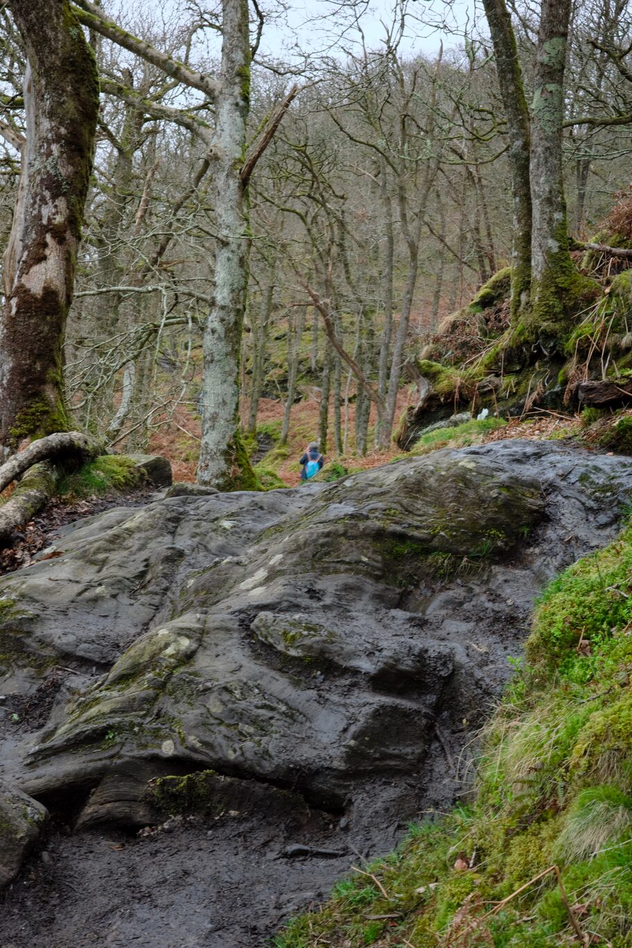
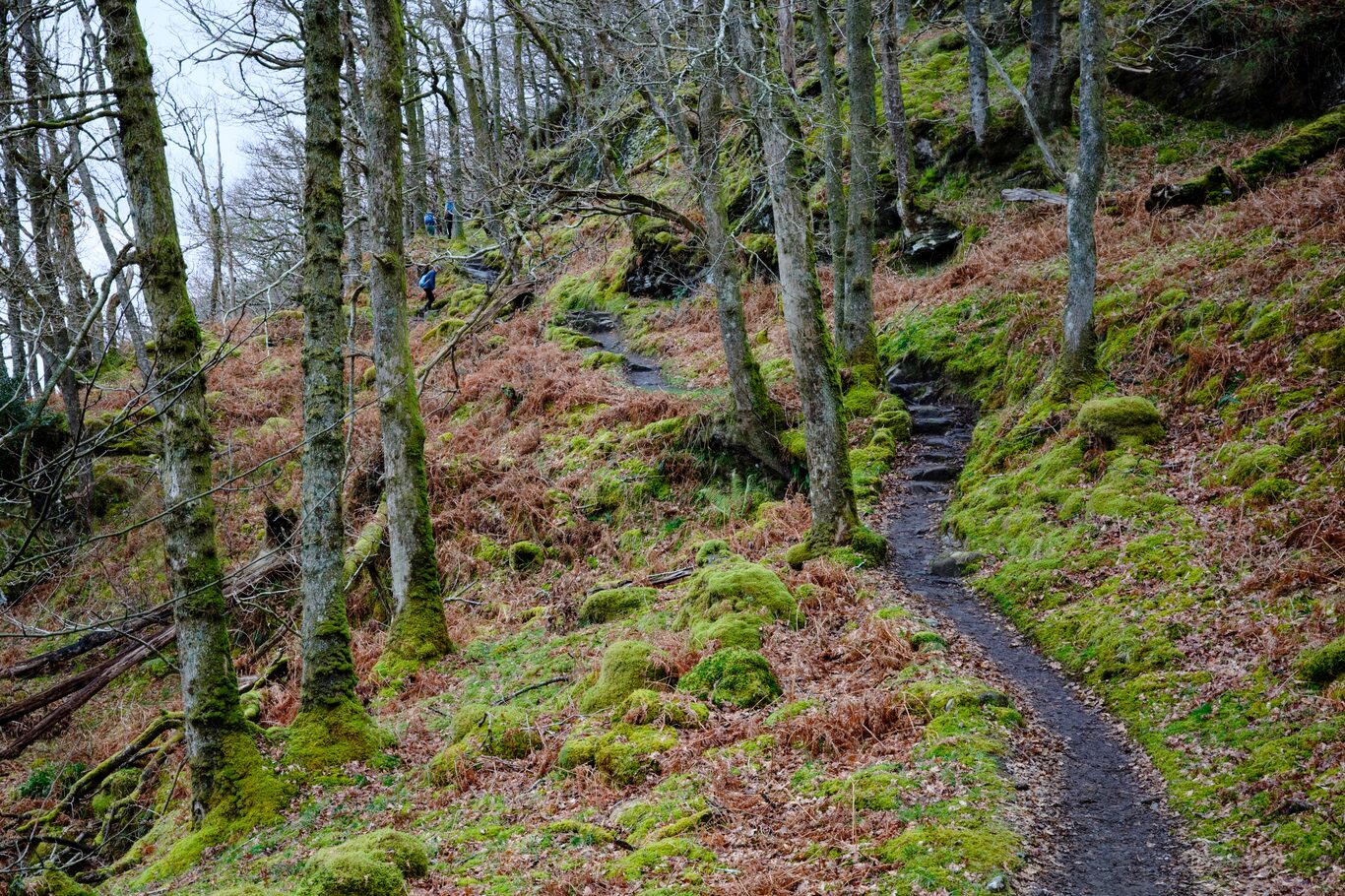
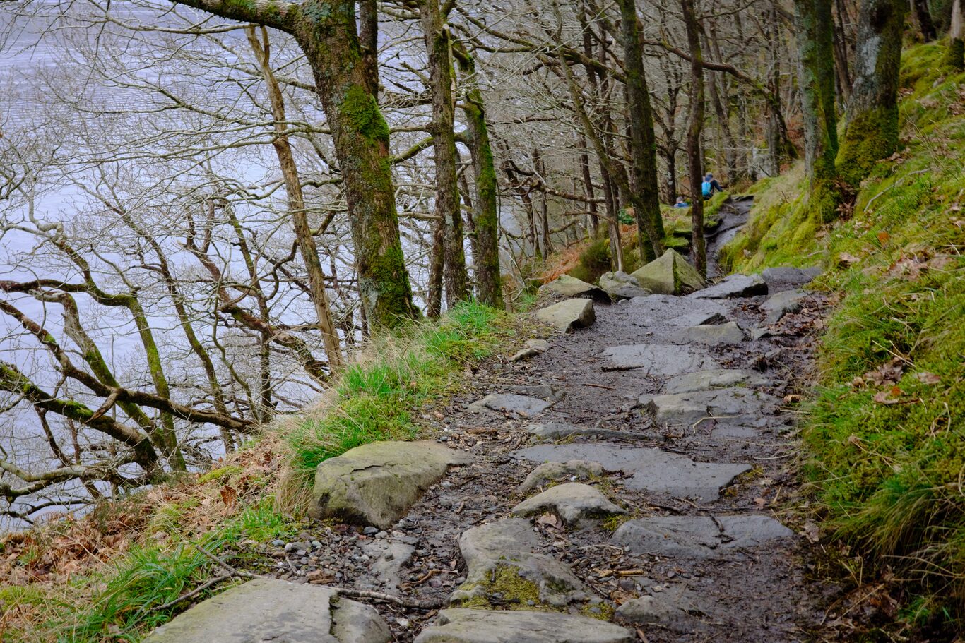
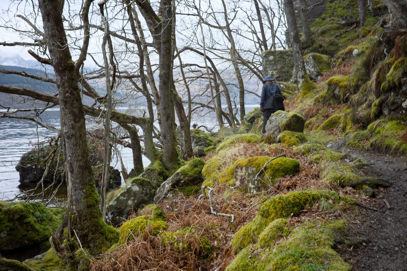
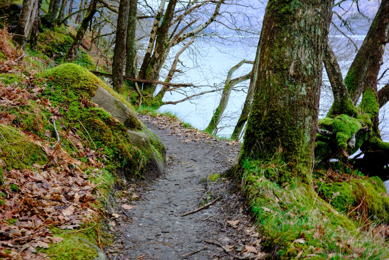
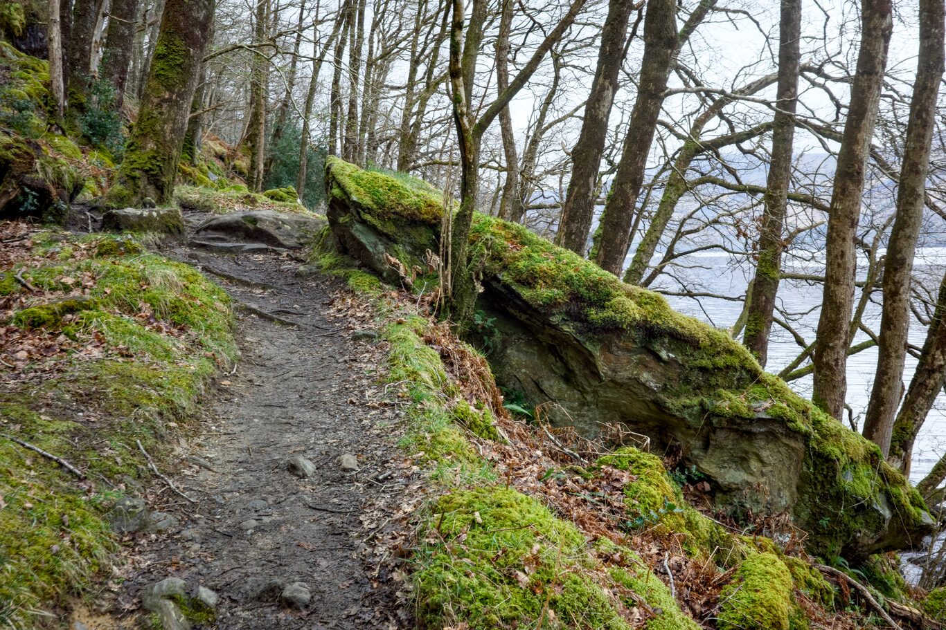
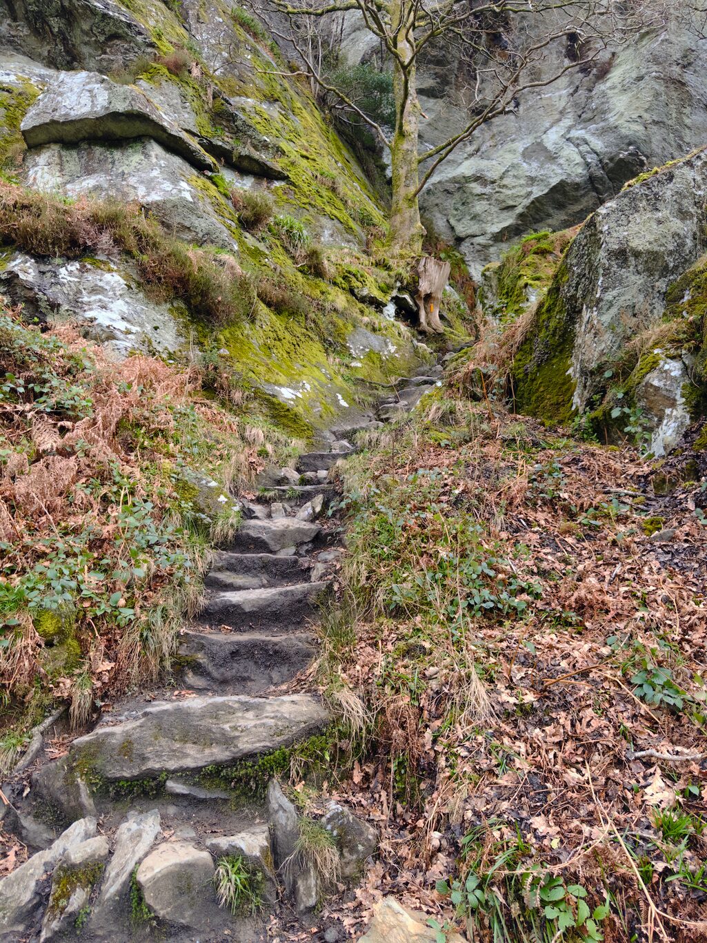
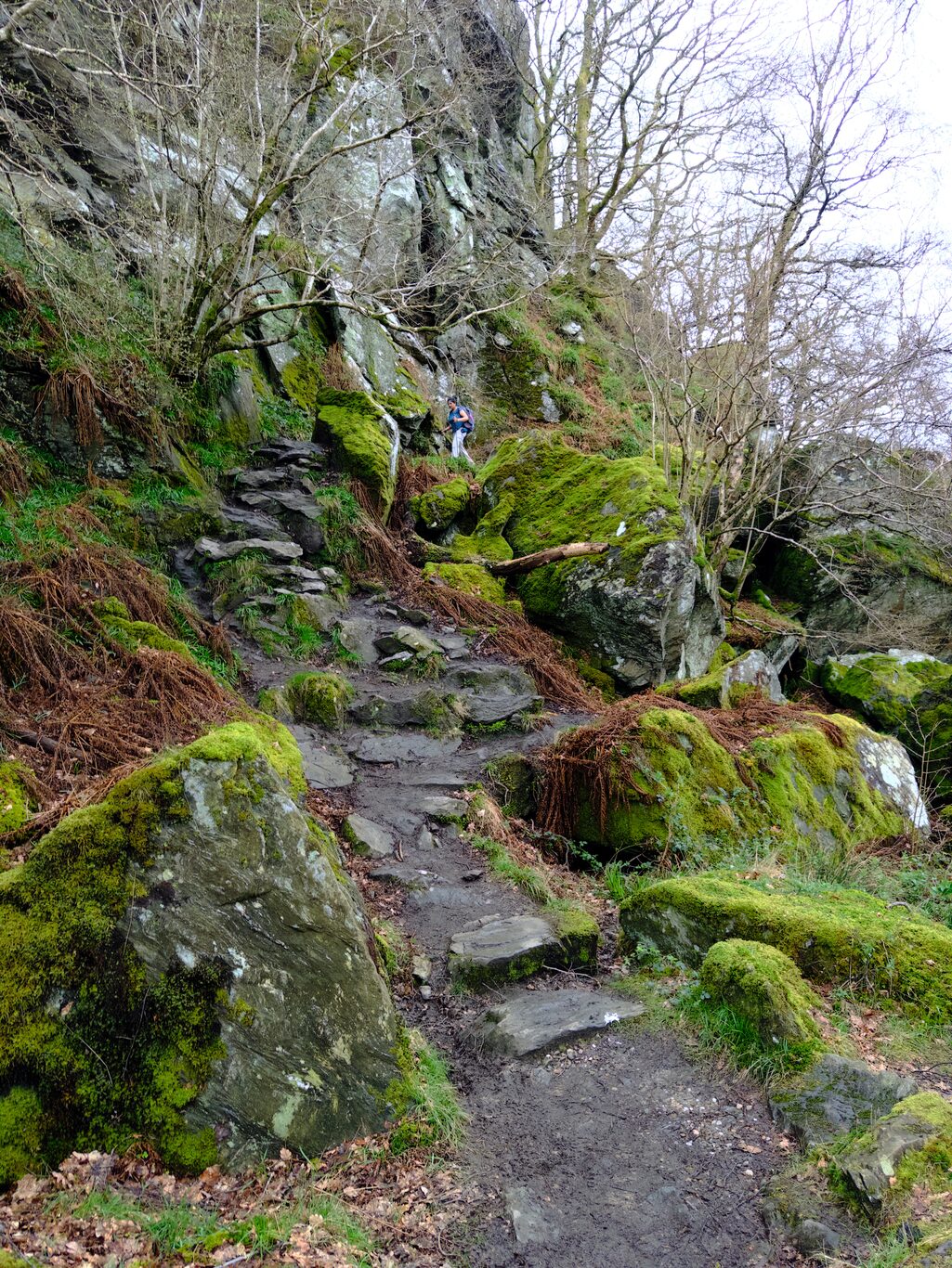
This kind of tough is the pure ruggedness and gnarliness of the trail itself. There were few isolated sections that could actually be considered dangerous, but what really made it tough were the countless sections where you were simply forced to focus your attention completely on keeping three points of contact with hiking poles and legs and moving slowly over bare, sometimes slippery rocks in order to stay upright and not go for a tumble. That constant kind of focus isn’t overly taxing on the mind or body at any one time, but over the course of hours, it takes its toll on both.
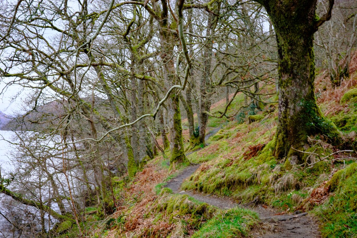
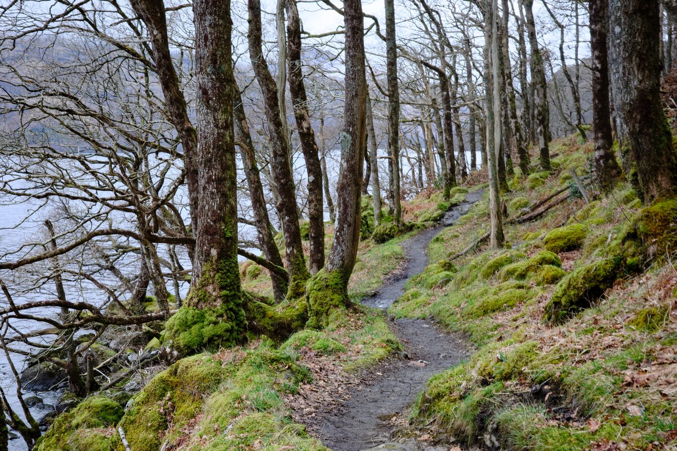
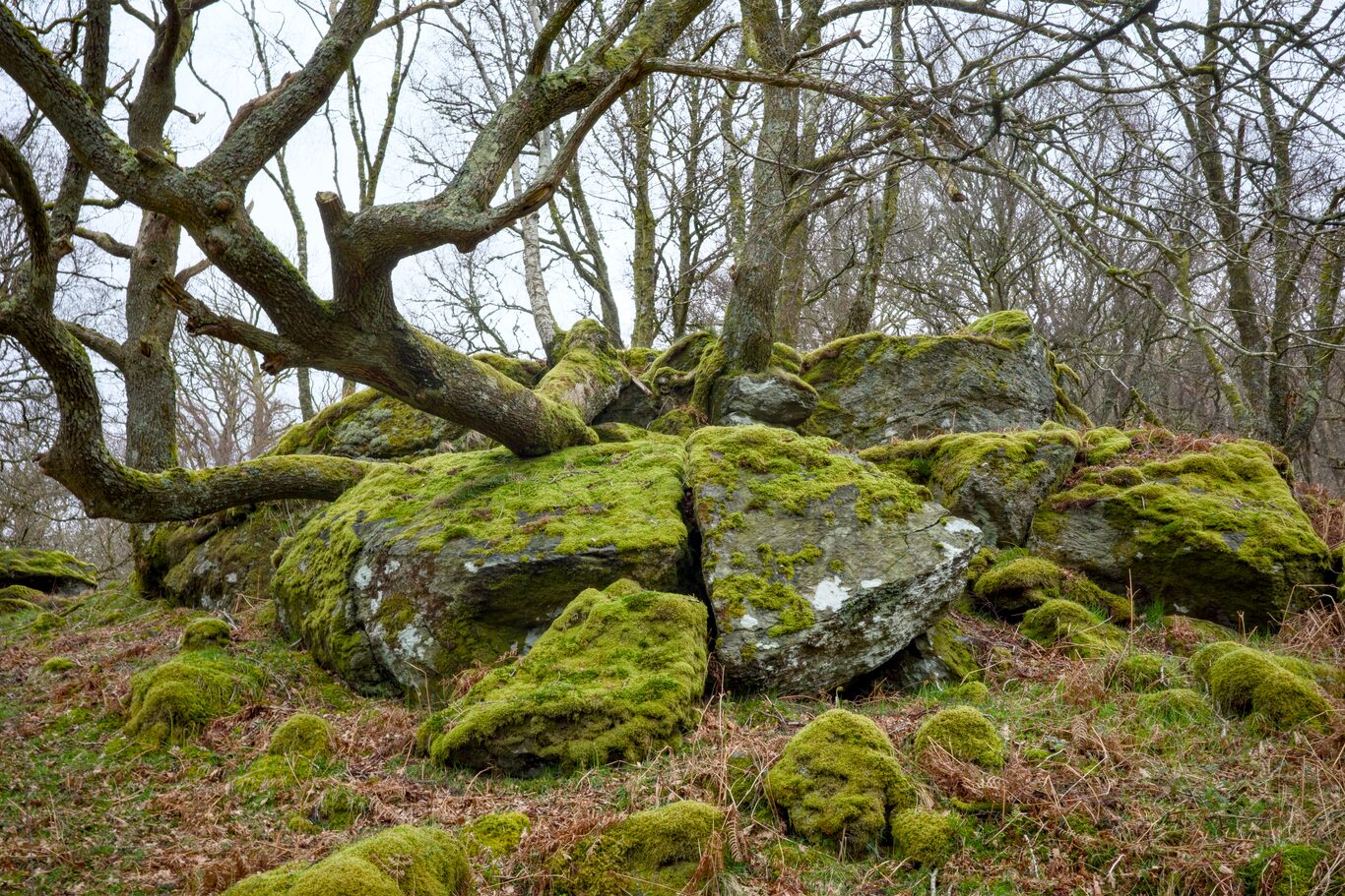
I have a raft of pictures of the trail in the gallery section below. There was a constant urge to document the trail, sometimes in an attempt to produce a nicely composed picture with mossy, jagged rocks and loch in the background, but most often to simply as evidence, communicating, “Look what we had to walk over!”
My voice notes at the end of the day branded the day as sometimes “hellish” and as a “very tough day”. Those were my judgments at that time. That said, a blister smack dab in the middle of my left foot I’d developed the day before, probably from the rock steps on Conic Hill, really didn’t hurt much because I’d lanced it and put blister bandages on it. My usually achy right leg did ache during the day, but it didn’t get progressively worse and wasn’t slowing me down in any way.
One favourite memory was when I’d climbed up from the trail below, veered to my left to find a sheer drop-off about 3 meters down towards the loch shoreline. I said “Holy Hanna!” out loud, with the thought, “They expect me to go down that??!”. I turned to my right, and a woman who I think was German was right behind me, said in perfect English, “I think it’s this way, Sir.” So polite and so reasonable!
I looked over where she was pointing, and sure enough, that was the escape route. I agreed, thanked her, and followed her down the correct direction. I ran into her again a couple of days later in Tyndrum and recounted the story by way of thanks and as a way to pursue my much-practiced hobby of laughing at myself.
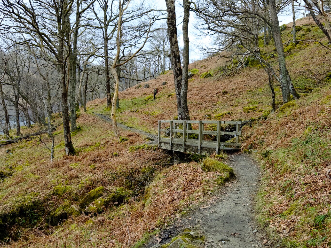
I spent the last part of the day with the two American women from Michigan, Bernie and Laura, and have many multiple pictures of them along the way. Together, we came upon a bothy, which I later found out is called “Doune Byre”. It’s a place where backpackers can stay the night and sleeps around ten people.
(Click to see a larger version)
(l->r: Laura and Bernie)
Camera Model: iPhone 15 Pro
Click for Map Location:N 56.2594528 W 4.6916111
(l->r: Laura and Bernie)
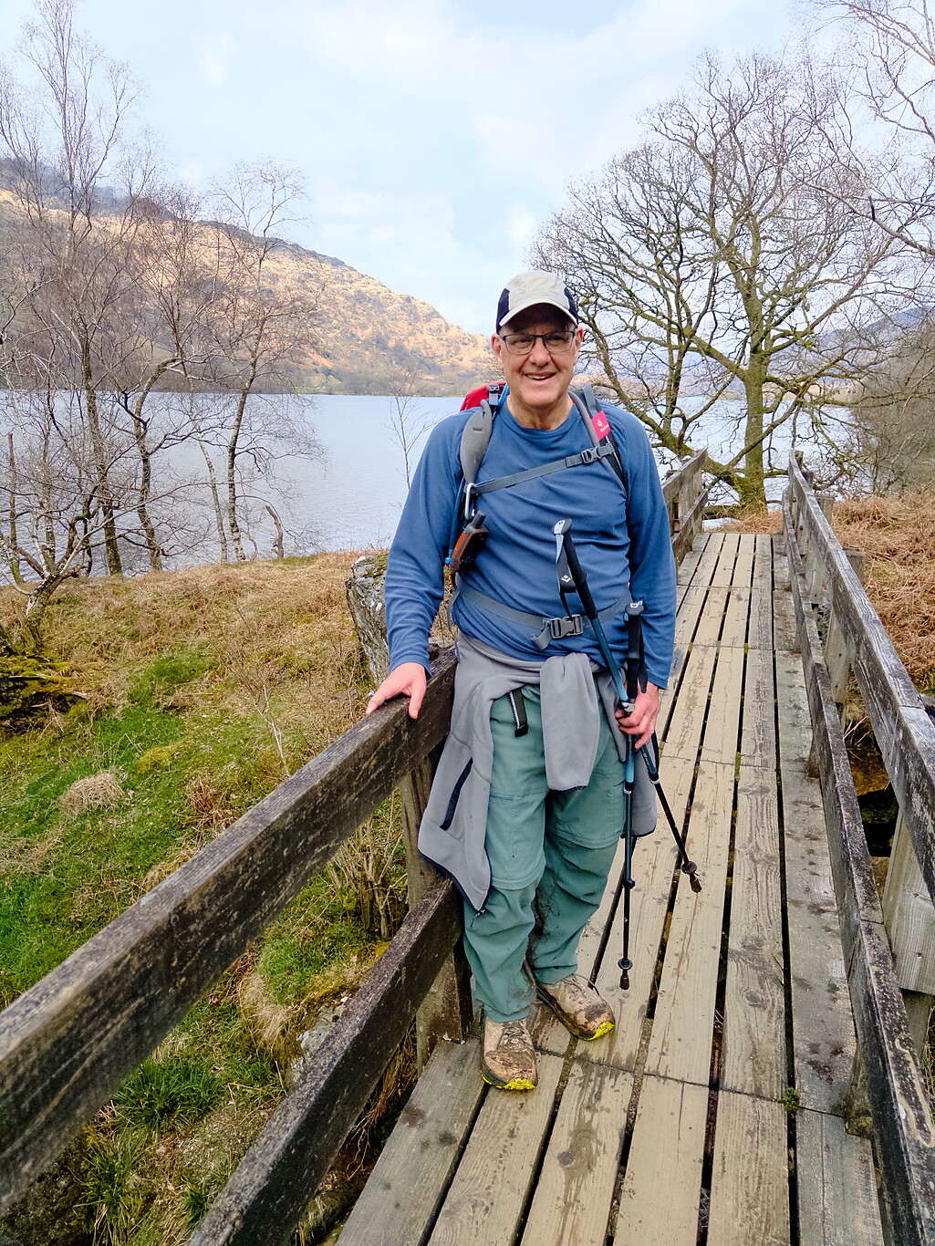
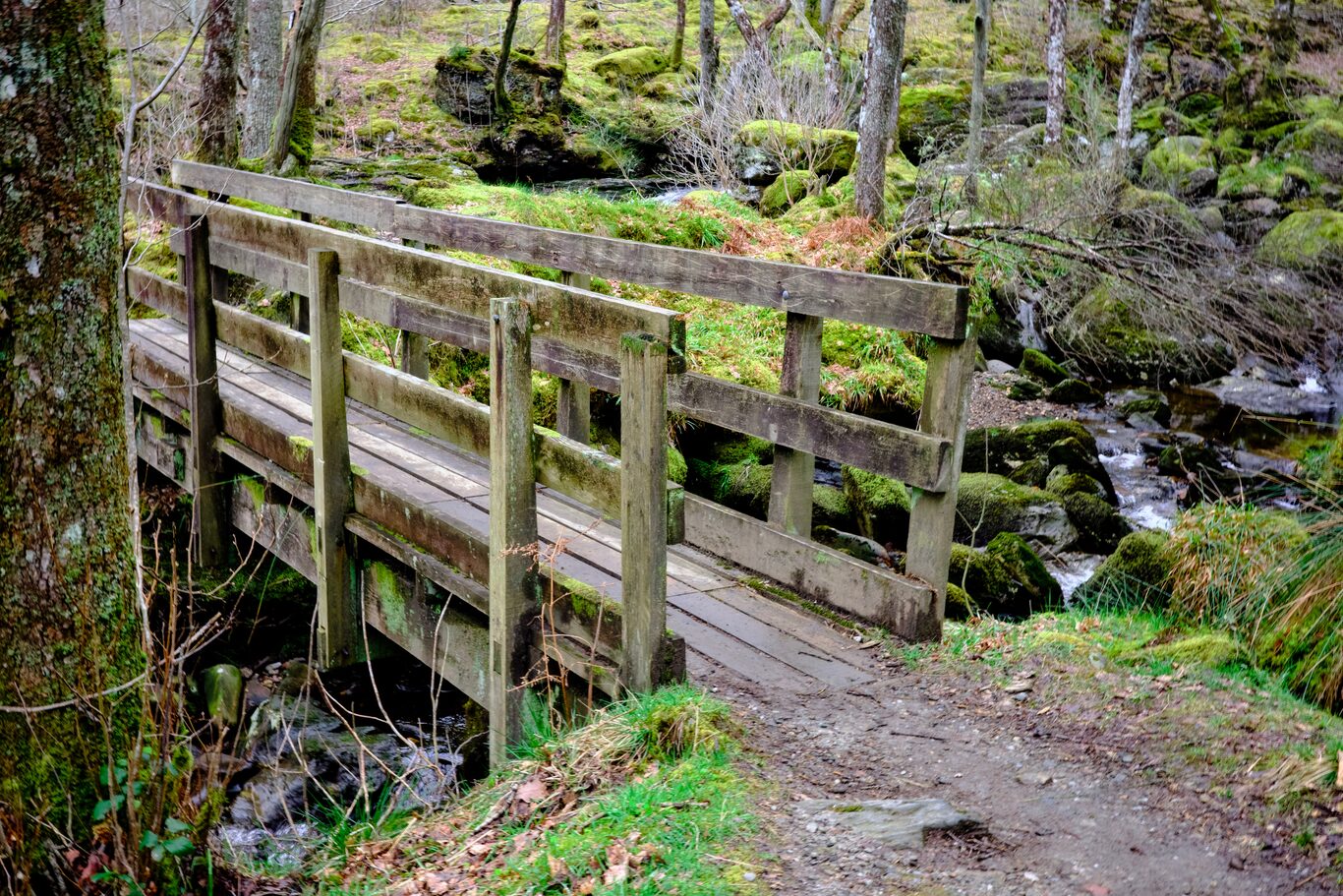
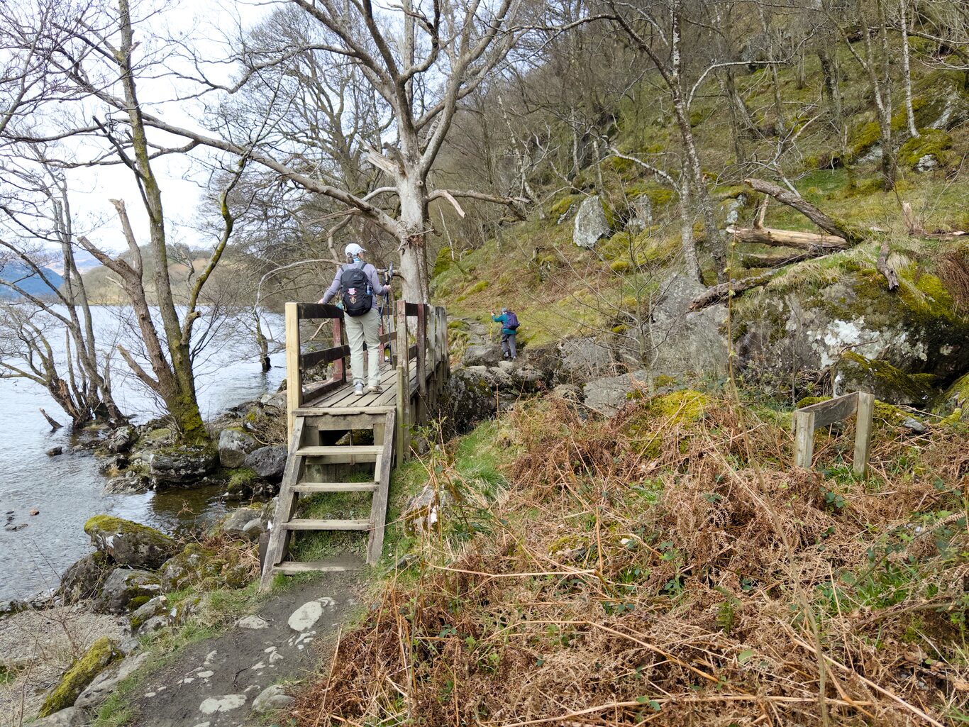
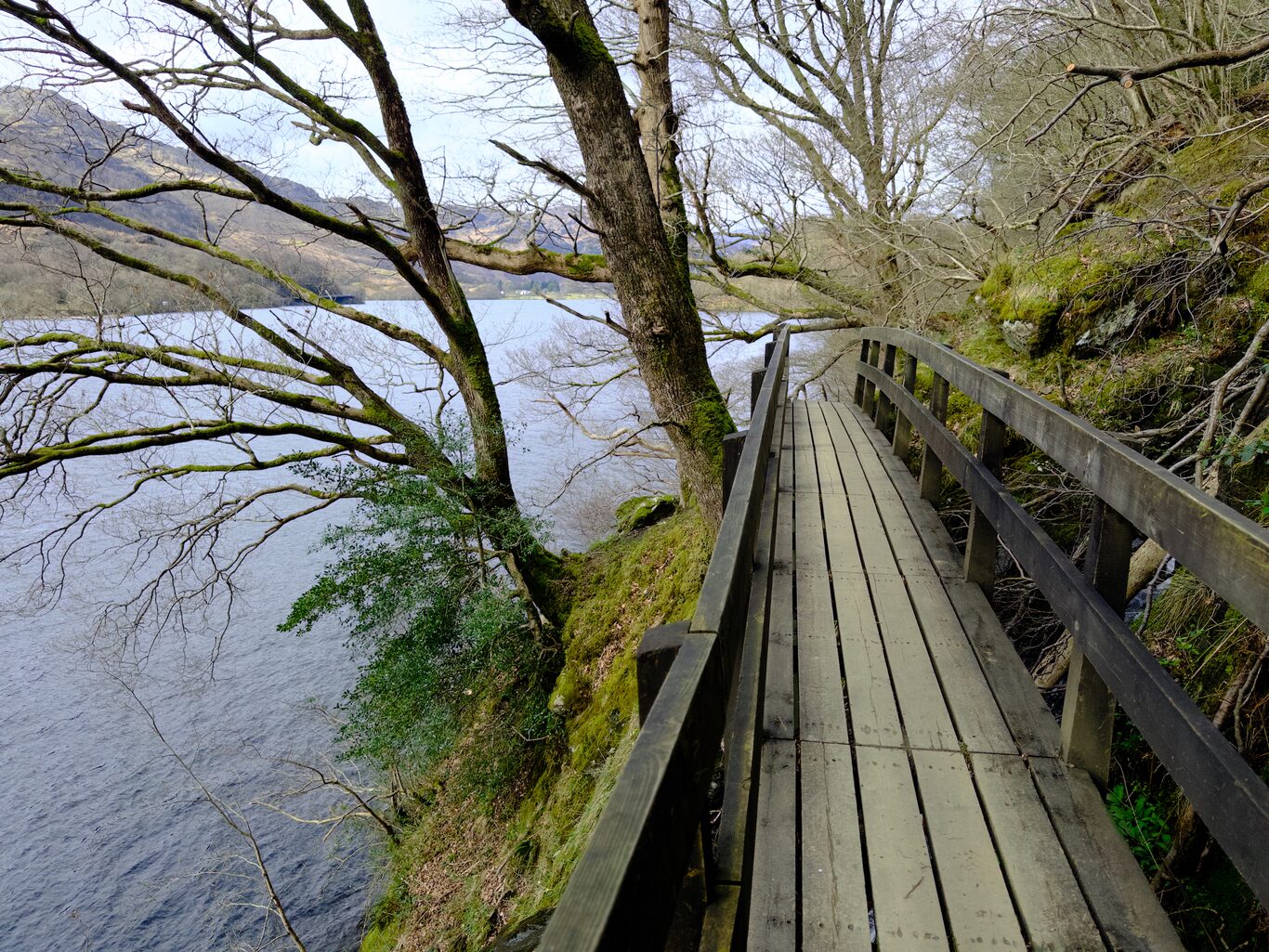
Me on one of the many little bridges along way.
Camera Model: iPhone 15 Pro
Click for Map Location:N 56.2594528 W 4.6916472
Me on one of the many little bridges along way.
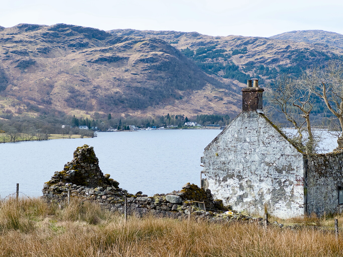
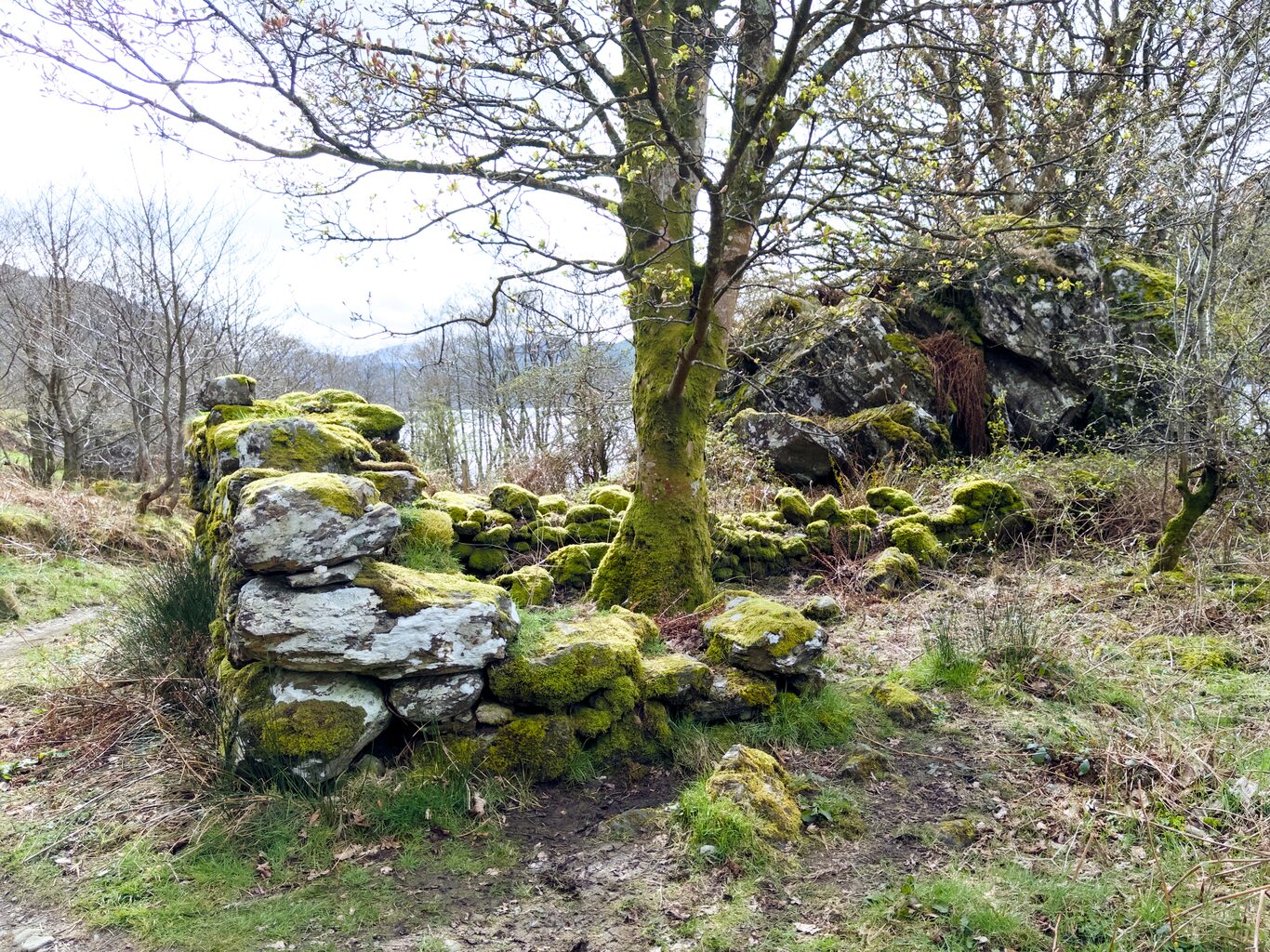
A long abandoned home with Ardlui in the background
Camera Model: iPhone 15 Pro
Click for Map Location:N 56.2923444 W 4.6957722
A long abandoned home with Ardlui in the background
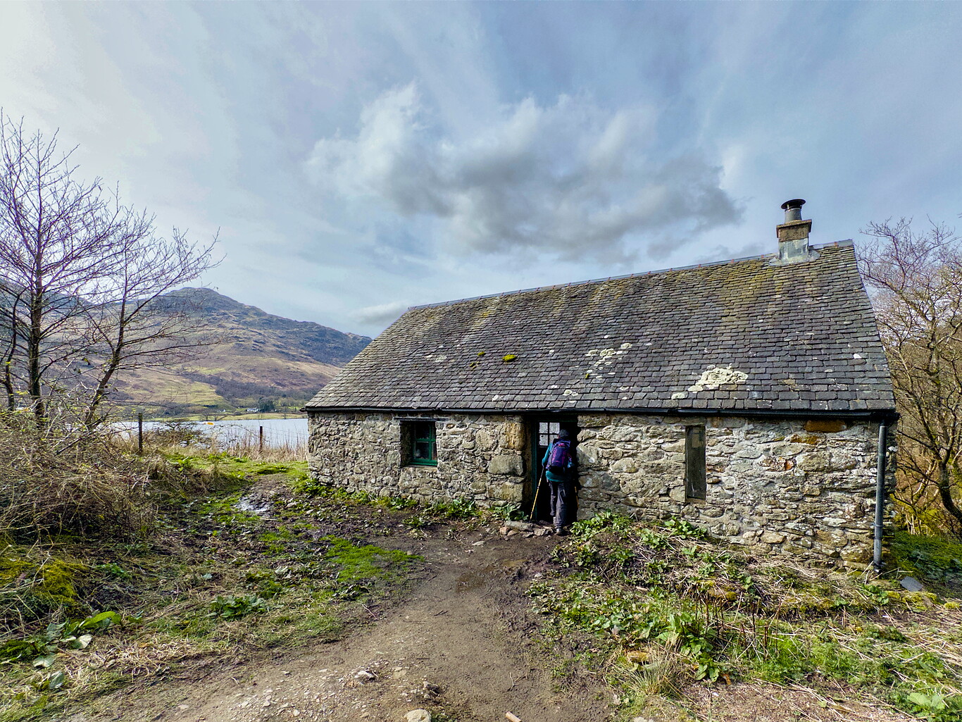
Doune Byre bothy
Camera Model: iPhone 15 Pro
Click for Map Location:N 56.2930250 W 4.6957861
Doune Byre bothy
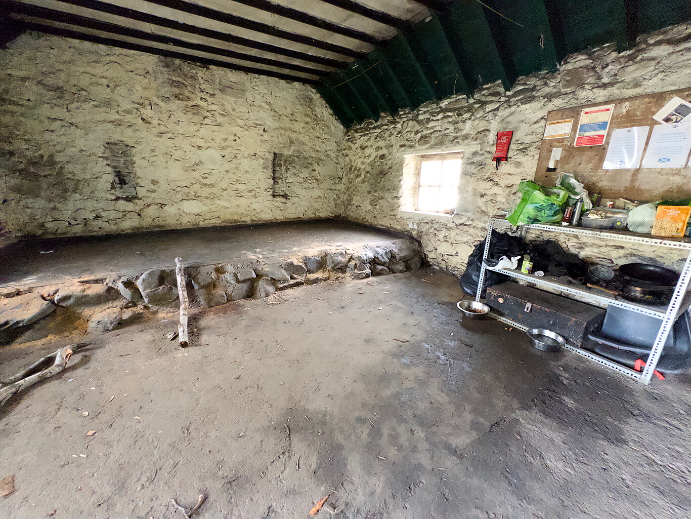
Inside the bothy
Camera Model: iPhone 15 Pro
Click for Map Location:N 56.2930778 W 4.6958361
Inside the bothy
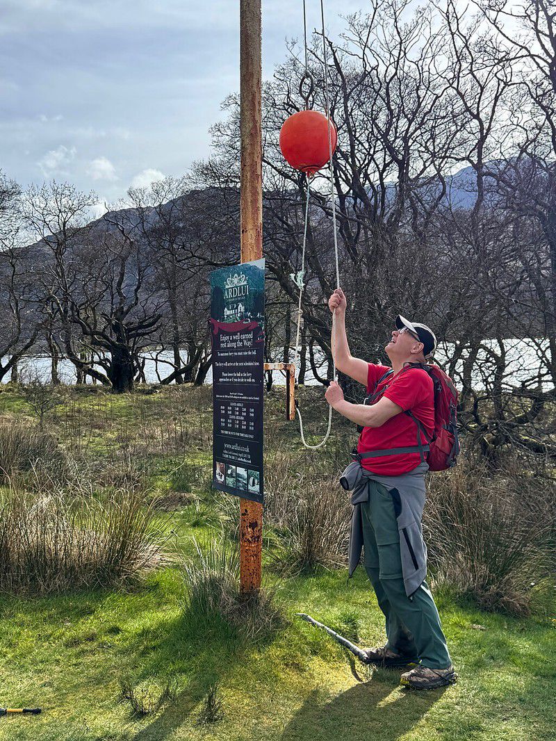
We were surprised to find out that we needed to pay for the ride; the Macs Adventure description said the ride was pre-paid for its customers. Apparently, things have changed, and I see Macs Adventure descriptions have been edited to reflect the change. While it didn’t break any of us to pay the fee for the ferry ride at the end of this day and the beginning of the next, we all agreed it was annoying. We hadn’t chosen to stay in this place that required a tangent to reach nor a ferry schedule to be beholden to, yet on top of these things, we were required to pay extra for it.
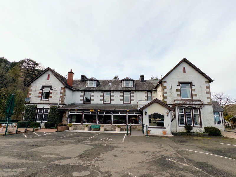
As usual, I was SO happy to finally be able to check into my hotel room. First, a shower, then a rest, and eventually, meeting for supper, this time with Bernie and Laura, mainly because Bernie was kind enough to call ahead and reserve a spot for us while on the trail.
A Portend of Things to Come#
It was only at the end of the day, in the evening after supper, when I really felt a sore throat coming on and knew it was getting worse. This sore throat soon would be accompanied by a thoroughly stuffed-up nose and throat, making for a terrible night’s sleep at Ardlui Hotel.
Gallery#
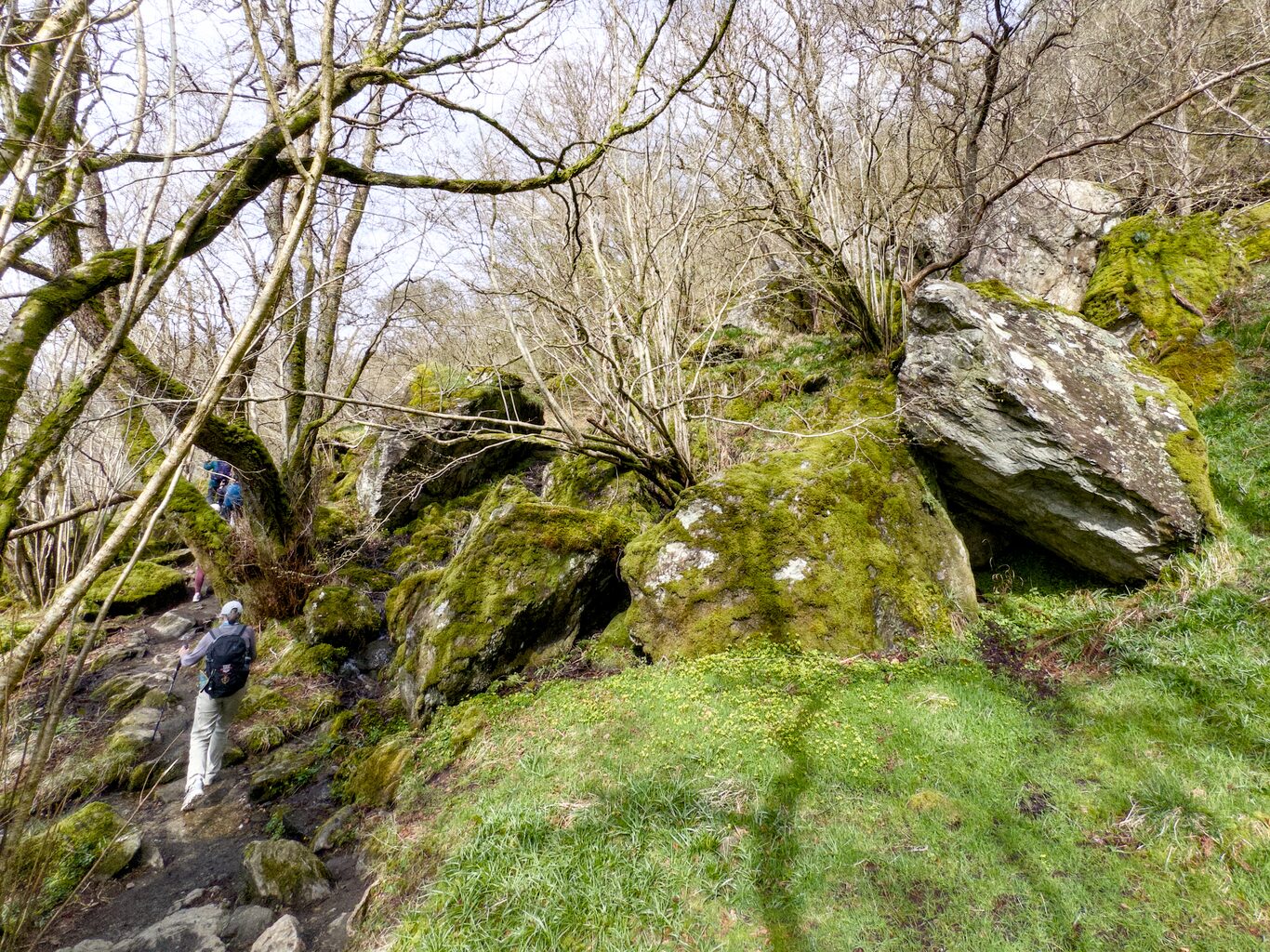
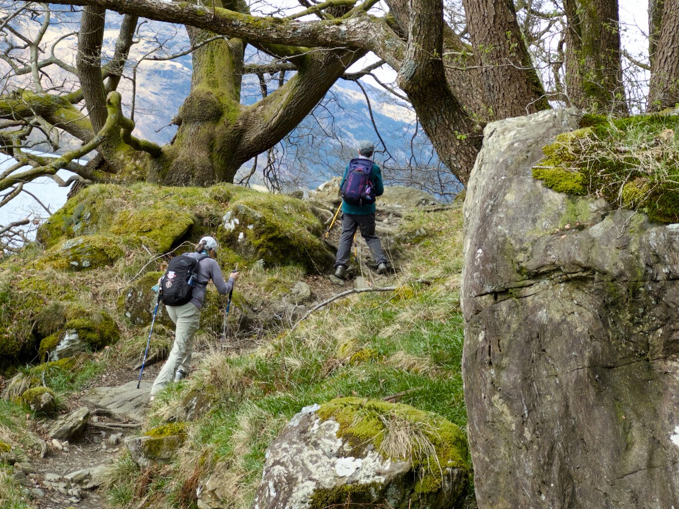
All of these images are from the long generally “gnarly” section of the trail along the edge of Loch Lomand today. None have captions because the majority would have the same caption, something like, “Look what this trail was like!!” 😃 (Click to see a larger version)
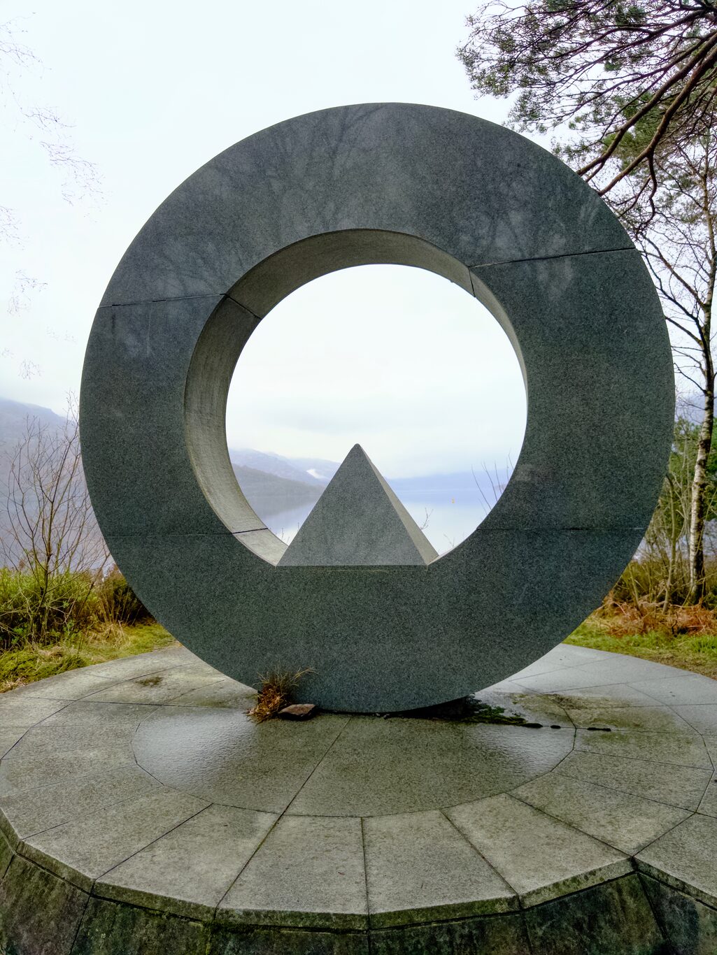
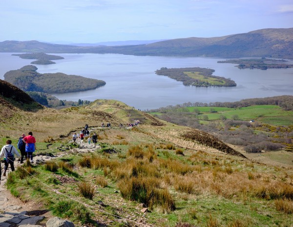
The Ben Lomond National Memorial Park sculpture
Camera Model: iPhone 15 Pro
Click for Map Location:N 56.1532389 W 4.6431556
The Ben Lomond National Memorial Park sculpture
Camera Model: RICOH GR IIIx
Click for Map Location:N 56.2247278 W 4.6776667
Camera Model: RICOH GR IIIx
Click for Map Location:N 56.2249056 W 4.6778722
Camera Model: RICOH GR IIIx
Click for Map Location:N 56.2251917 W 4.6779222
Camera Model: RICOH GR IIIx
Click for Map Location:N 56.2259556 W 4.6779444
Camera Model: RICOH GR IIIx
Click for Map Location:N 56.2265444 W 4.6783611
Camera Model: RICOH GR IIIx
Click for Map Location:N 56.2268056 W 4.6785778
Camera Model: RICOH GR IIIx
Click for Map Location:N 56.2276611 W 4.6790528
Camera Model: RICOH GR IIIx
Click for Map Location:N 56.2284667 W 4.6793222
Camera Model: RICOH GR IIIx
Click for Map Location:N 56.2296722 W 4.6795861
Camera Model: RICOH GR IIIx
Click for Map Location:N 56.2305028 W 4.6800278
Camera Model: RICOH GR IIIx
Click for Map Location:N 56.2314028 W 4.6813194
Camera Model: RICOH GR IIIx
Click for Map Location:N 56.2392528 W 4.6842389
Camera Model: RICOH GR IIIx
Click for Map Location:N 56.2418806 W 4.6843611
Camera Model: RICOH GR IIIx
Click for Map Location:N 56.2422889 W 4.6838361
Camera Model: RICOH GR IIIx
Click for Map Location:N 56.2481056 W 4.6877028
Camera Model: RICOH GR IIIx
Click for Map Location:N 56.2481639 W 4.6879222
Camera Model: RICOH GR IIIx
Click for Map Location:N 56.2483222 W 4.6889917
Camera Model: RICOH GR IIIx
Click for Map Location:N 56.2488556 W 4.6897472
Camera Model: iPhone 15 Pro
Click for Map Location:N 56.2494472 W 4.6900139

Camera Model: iPhone 15 Pro
Click for Map Location:N 56.2512028 W 4.6922306
Camera Model: iPhone 15 Pro
Click for Map Location:N 56.2529972 W 4.6937389
Camera Model: iPhone 15 Pro
Click for Map Location:N 56.2533306 W 4.6939000
Camera Model: iPhone 15 Pro
Click for Map Location:N 56.2575972 W 4.6975111
Camera Model: iPhone 15 Pro
Click for Map Location:N 56.2544778 W 4.6953028
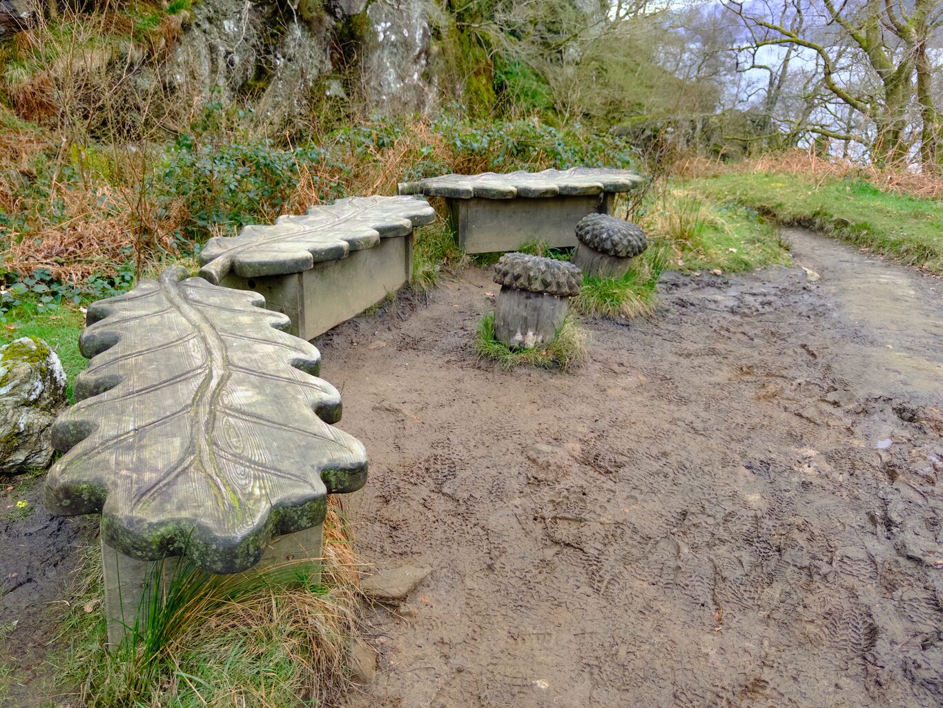
A cool set of benches after a particularly tricky section of trail
Camera Model: iPhone 15 Pro
Click for Map Location:N 56.2607750 W 4.7003056
A cool set of benches after a particularly tricky section of trail
Camera Model: iPhone 15 Pro
Click for Map Location:N 56.2594889 W 4.6916556
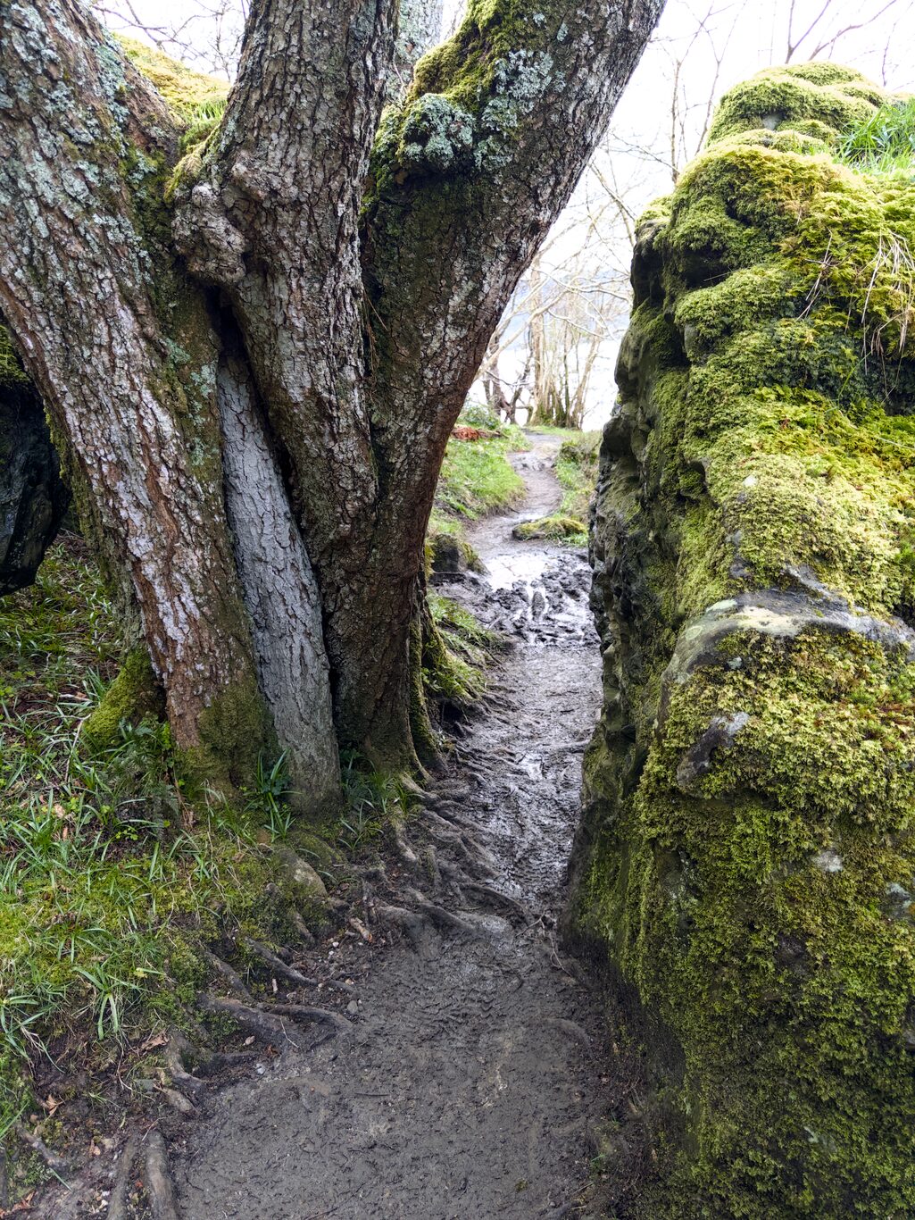
This was a tight squeeze!
Camera Model: iPhone 15 Pro
Click for Map Location:N 56.2612028 W 4.6914472
This was a tight squeeze!
Camera Model: iPhone 15 Pro
Click for Map Location:N 56.2614806 W 4.6912389
Camera Model: iPhone 15 Pro
Click for Map Location:N 56.2614889 W 4.6913306
Camera Model: iPhone 15 Pro
Click for Map Location:N 56.2625083 W 4.6914833
Camera Model: iPhone 15 Pro
Click for Map Location:N 56.2642139 W 4.6912722
Camera Model: iPhone 15 Pro
Click for Map Location:N 56.2689583 W 4.6919806
Camera Model: iPhone 15 Pro
Click for Map Location:N 56.2690528 W 4.6920278
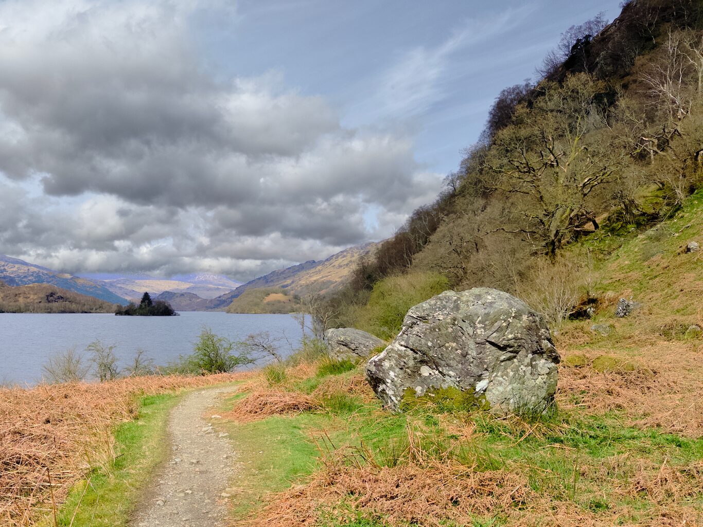
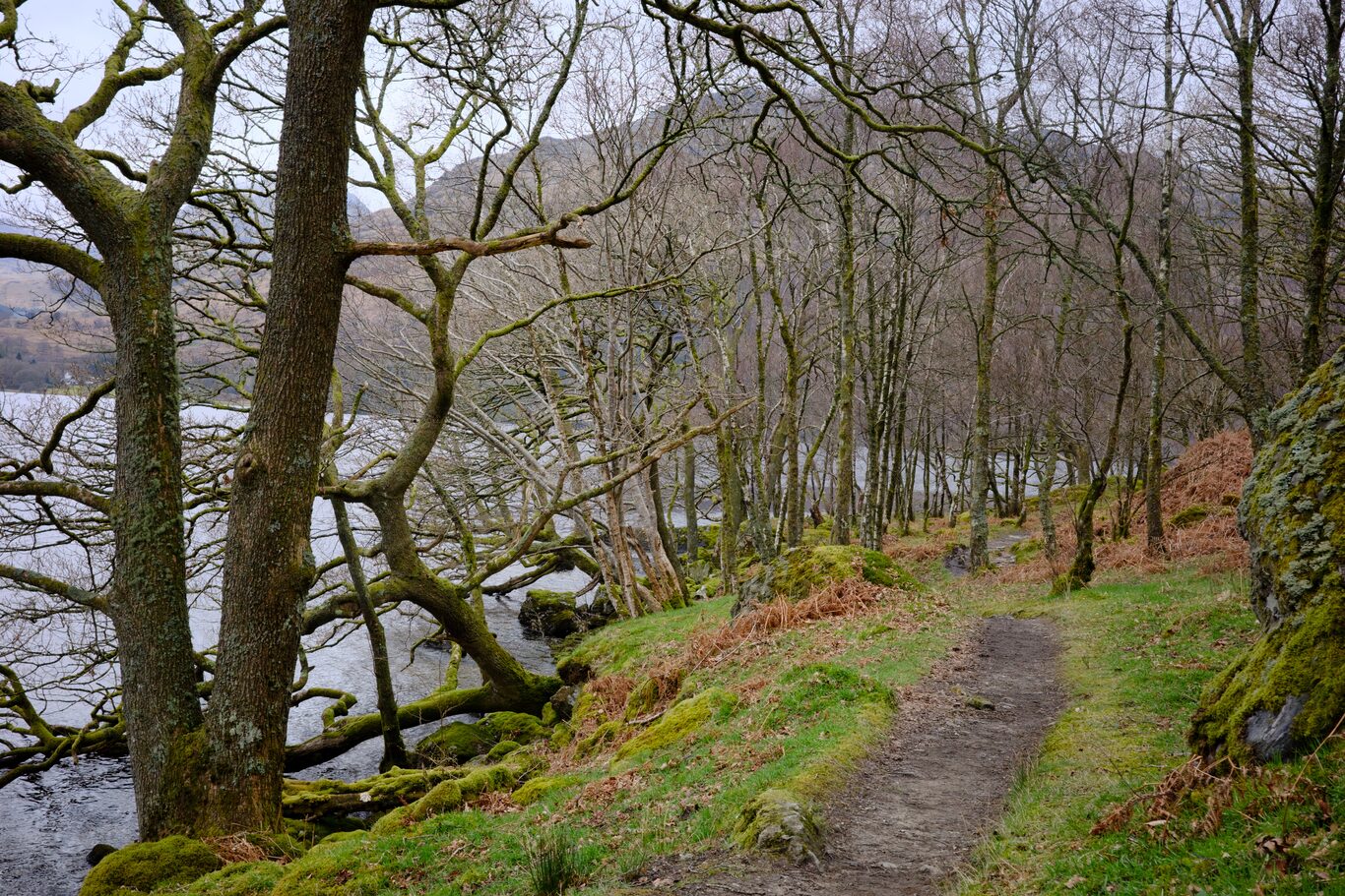
A temporarily tame section with a distinctive loch island in the background
Camera Model: iPhone 15 Pro
Click for Map Location:N 56.2704889 W 4.6923833
A temporarily tame section with a distinctive loch island in the background
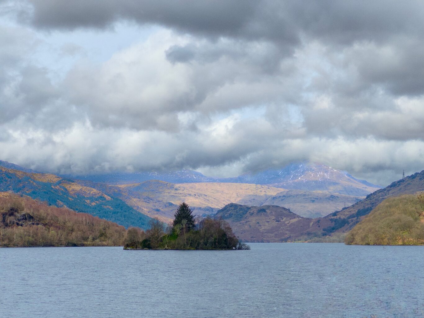
The island close up
Camera Model: iPhone 15 Pro
Click for Map Location:N 56.2707583 W 4.6924556
The island close up
Camera Model: iPhone 15 Pro
Click for Map Location:N 56.2769722 W 4.6909278
Camera Model: iPhone 15 Pro
Click for Map Location:N 56.2776194 W 4.6912806
Camera Model: iPhone 15 Pro
Click for Map Location:N 56.2777139 W 4.6916139
Camera Model: iPhone 15 Pro
Click for Map Location:N 56.2787472 W 4.6916306
Camera Model: iPhone 15 Pro
Click for Map Location:N 56.2797194 W 4.6916806
Camera Model: iPhone 15 Pro
Click for Map Location:N 56.2864056 W 4.7087056
Camera Model: iPhone 15 Pro
Click for Map Location:N 56.2804139 W 4.6920028
Camera Model: iPhone 15 Pro
Click for Map Location:N 56.2805500 W 4.6918944
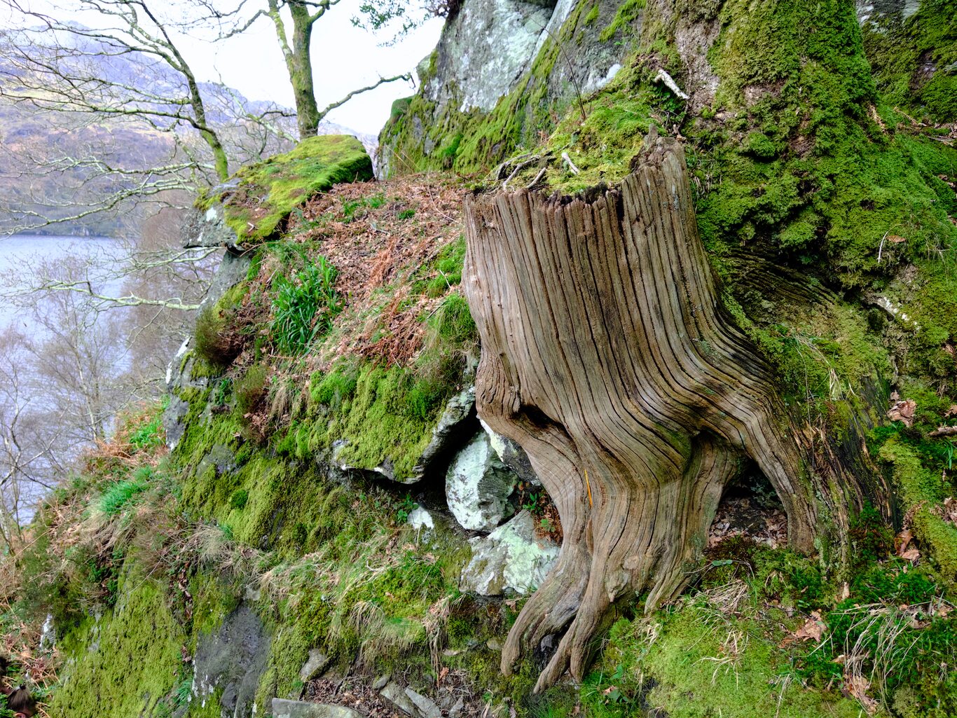
I loved the texture on the stump
Camera Model: iPhone 15 Pro
Click for Map Location:N 56.2817722 W 4.6925389
I loved the texture on the stump
Camera Model: iPhone 15 Pro
Click for Map Location:N 56.2845556 W 4.6935694
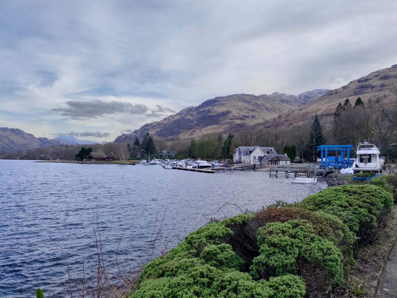
The marina outside Ardlui Hotel
Camera Model: iPhone 15 Pro
Click for Map Location:N 56.3035361 W 4.7199972
The marina outside Ardlui Hotel

West Highland Way - 2026 - This article is part of a series.
Related
West Highland Way - Day 2 - Drymen to Rowardennan
West Highland Way - Day 1 - Milngavie to Drymen