West Highland Way - Day 1 - Milngavie to Drymen
West Highland Way - 2026 - This article is part of a series.
What is the West Highland Way?
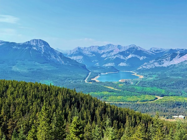
The West Highland Way is a 154 km (9 mile) walking trail in Scotland, running from Milngavie (near Glasgow) to Fort William. It passes through diverse landscapes, including Loch Lomond, open moors, and mountainous terrains. You can view entire route here. (Map by Westhighlandway.org
Not the Best Start to the Big First Day#
The West Highland Way officially starts in Milngavie (pronounced “Mull-Guy”), a northern suburb of Glasgow, but my day started at what had been my accommodation in Edinburgh for the three days prior.
But it’s amazing how even with a minimum of sleep, one is still able to function. In the end, that entire chain worked out as planned and without too much stress, partly because trains arrived exactly on schedule, and partly because I’d built in time in the plan for things to go wrong.
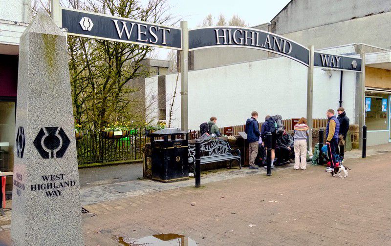
I arrived in Milngavie just after 8 a.m., found the luggage carrier company van that would transport my luggage to Drymen, my end goal for the day, and after a nice chat with the friendly luggage guy, made my way just a couple of blocks from the train station to Douglas Street, where the West Highland Way starts.
After stopping in to get a 6" Subway sub that would be my lunch for the day, I quickly checked out a few nearby monuments on Douglas Street. These were part of an epic multi-cache which asks questions about objects and features along the entire West Highland Way route. Although I was pretty sure I’d determined the answers already by doing internet research at home, I wanted to double-check a few of them. They all checked out perfectly.
And that meant all there was to do was step over the threshold in the unknown and be on my way!
A Few Pictures in Milngavie#
(Click to see a larger version)
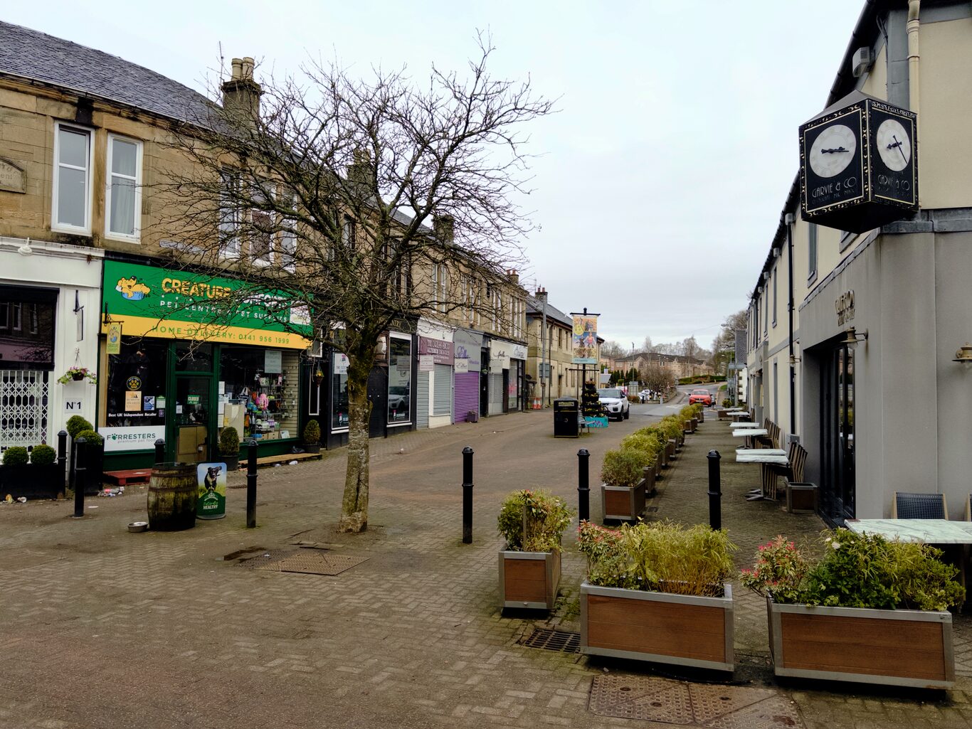
A typical Milngavie street
Camera Model: iPhone 15 Pro
Click for Map Location:N 55.9418056 W 4.3170444
A typical Milngavie street
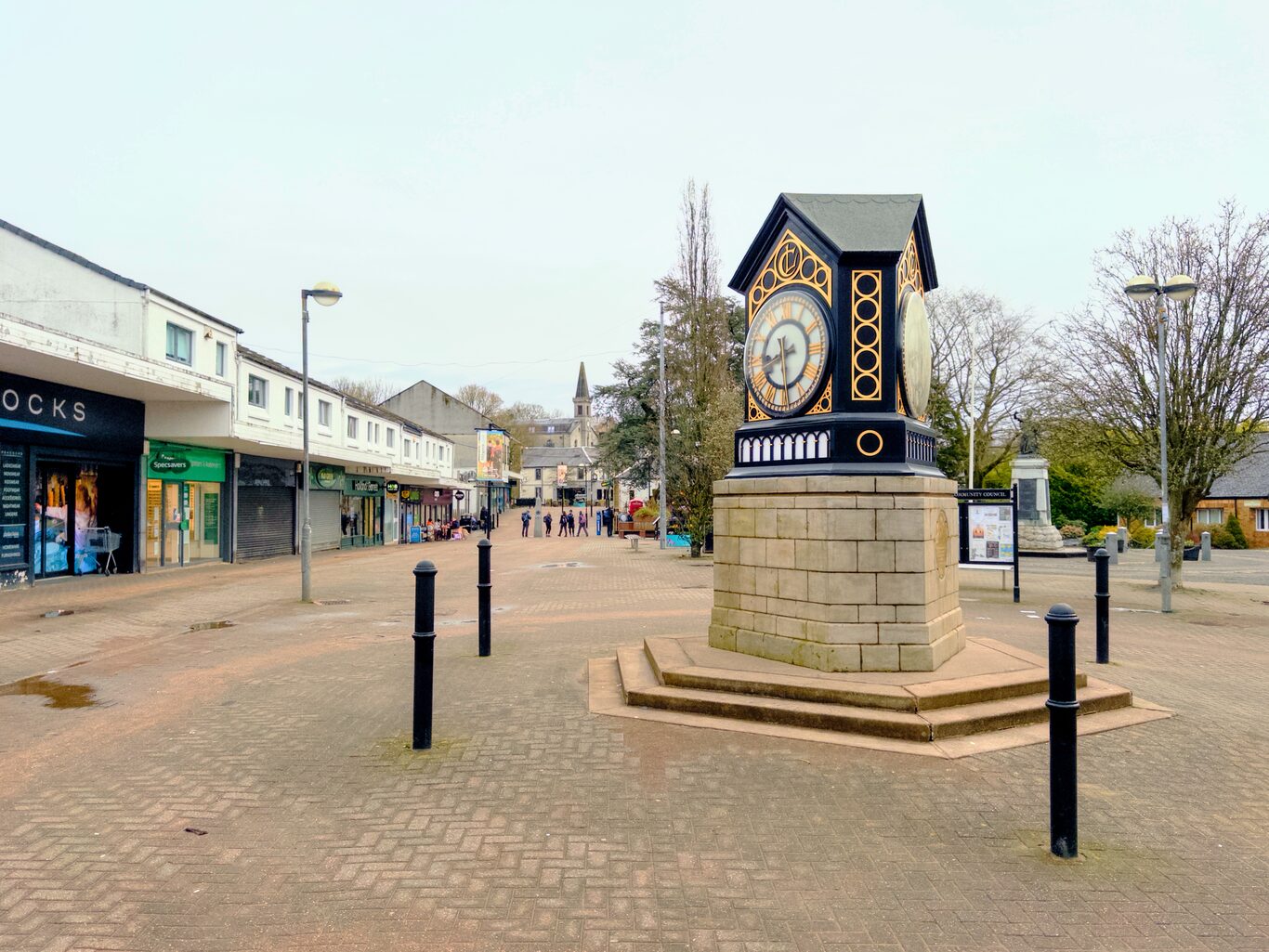
The featured clock in the town square
Camera Model: iPhone 15 Pro
Click for Map Location:N 55.9408889 W 4.3185611
The featured clock in the town square

The stylized thistle is the symbol of the West Highland Way
Camera Model: iPhone 15 Pro
Click for Map Location:N 55.9416194 W 4.3181028
The stylized thistle is the symbol of the West Highland Way
My Route Today#
Starting Out#
I’m going to try to convey at least a part of what I was feeling as I took those first steps. I’m convinced it’s a universal human feeling when starting out into the unknown.
That said, in one sense, quite a lot was known: I had thoroughly researched the path I’d take today, and I had a GPS track log of exactly where I should be walking. Yet it was the feeling of walking into an unknown endeavour that supplied some support for the doubt lodged at the back of my brain. I love to hike, but I’d never undertaken a long-distance hike like this one where substantial hikes are necessary day after day after day. Accommodation was already booked all the way down the line for days, so one feels the pressure of having to do whatever it took - no matter the weather, energy level or terrain - to get me to the reserved accommodation each and every day.
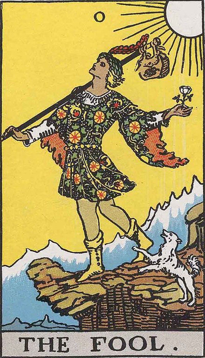
In my 20s, I was interested in the symbols that made up tarot cards, and the card that matched this moment was The Fool, card 0. The Fool card shows a man walking toward a precipice on a new adventure with his modest pack. The standard meaning of the white rose he holds is “purity and innocence”, which I’d translate into meaning, “He really doesn’t know what the hell he’s getting himself into.” The mountains in the distance are said to symbolize the challenges yet to come. They are forever present, but The Fool doesn’t care about them right now; he’s more focused on starting his expedition.
That describes very well what I was feeling as I took the first steps this morning.
First Experiences Along the Way#
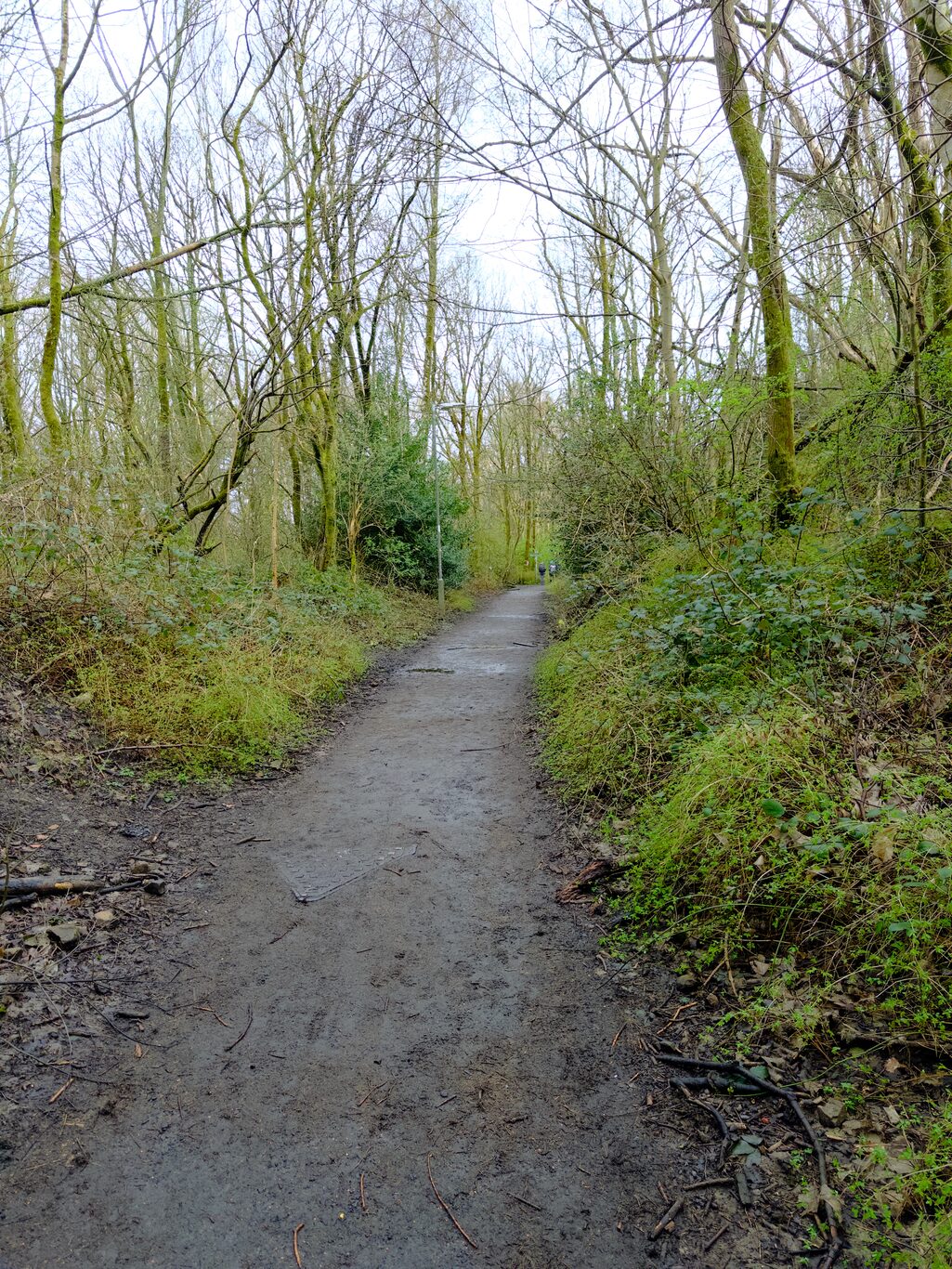
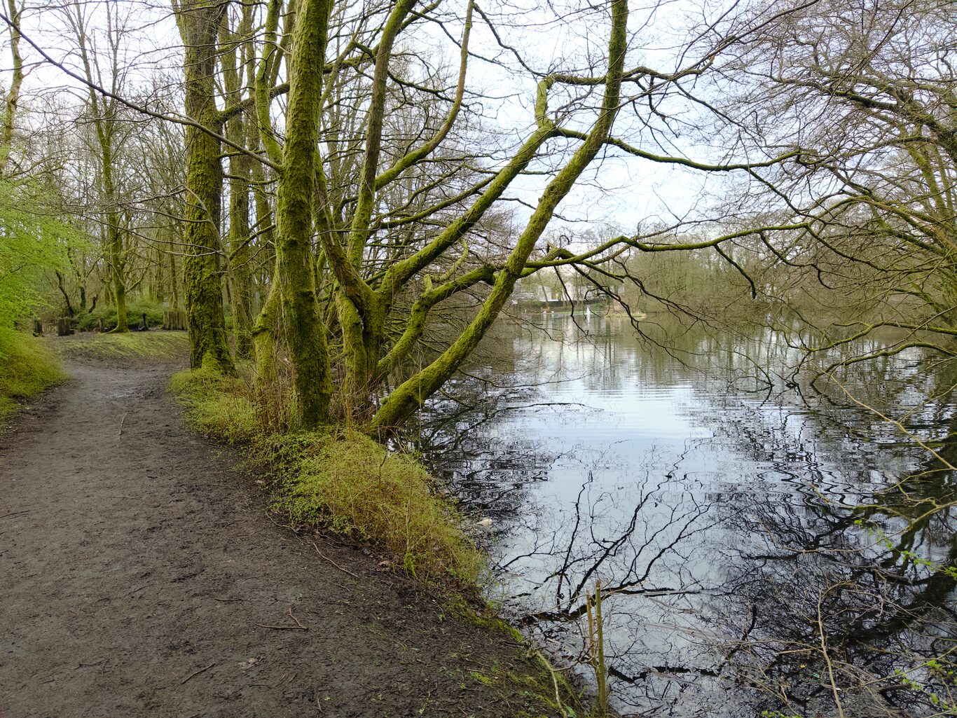
What struck me first about the surroundings was the sheer mossiness of, well, everything. I took pictures of scenes that any local wouldn’t give a second glance; for me, this moss seemed to be sprayed onto every living and inanimate thing in sight. It was so different from home and I liked it!
My Initial Fascination with the Mossiness of Everything#
(Click to see a larger version)
Walking path in suburban Milngavie
Camera Model: iPhone 15 Pro
Click for Map Location:N 55.9445111 W 4.3204639
Walking path in suburban Milngavie
I couldnt get over all these mossy trees!
Camera Model: iPhone 15 Pro
Click for Map Location:N 55.9452000 W 4.3214250
I couldnt get over all these mossy trees!

One of the first waymarkers
Camera Model: iPhone 15 Pro
Click for Map Location:N 55.9453528 W 4.3214667
One of the first waymarkers
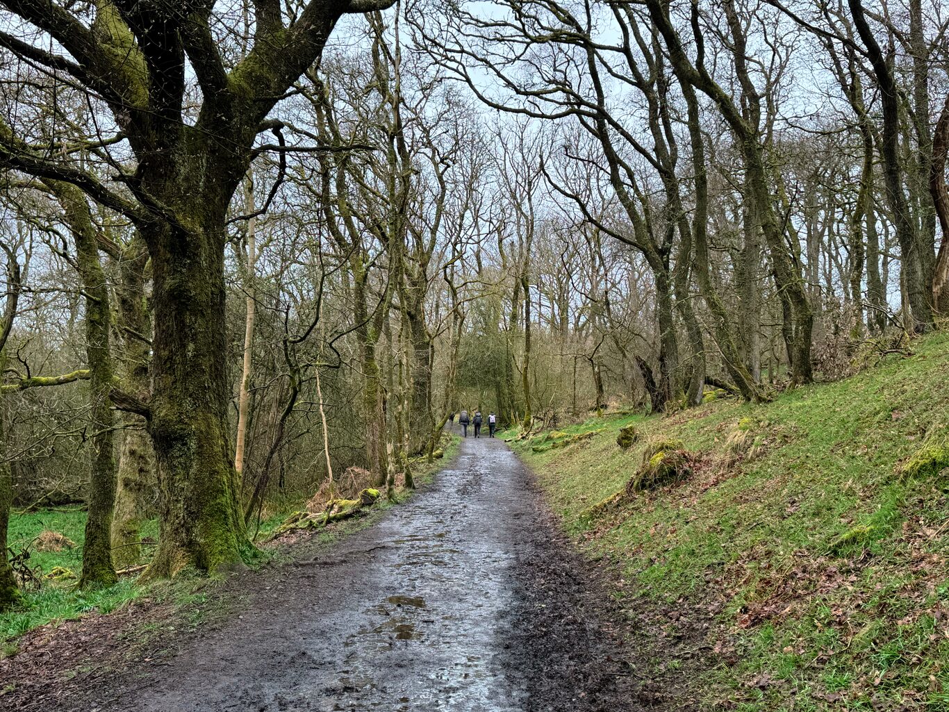
A wet, early spring path leading out of Milngavie
Camera Model: iPhone 15 Pro
Click for Map Location:N 55.9599944 W 4.3338917
A wet, early spring path leading out of Milngavie
A First Geocache Find and a Lesson Learned#
After an hour on the trail, I was coming close to my first possible geocache find. I left the trail to follow a very soggy game trail up a hill, eventually making my way through a mini-swamp and found the geocache quickly. After signing the log and rehiding the cache, I made my way back down the soggy hill, suddenly slipped and found myself on my back in the mud. Oh, great. At least I hadn’t hurt anything but my pride.
It was then I decided that expending energy to find off-trail caches wasn’t going to be worth it, especially when I still didn’t understand what kind of long-term effort was being faced with. Finding geocaches wasn’t my main aim on the trip - it was a side hustle at best, so for then on, the norm was to ignore off-trail caches.
The Annoying Puddle Puzzles#
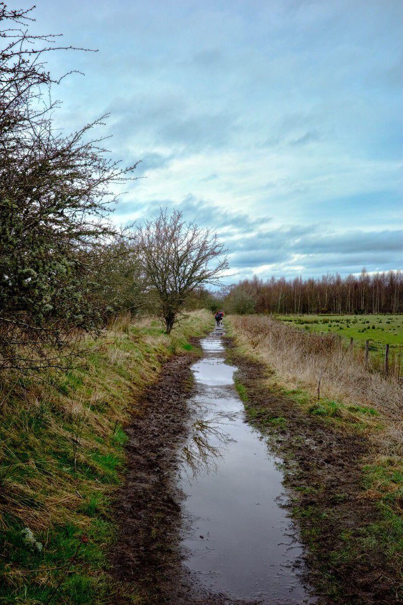
There was a long, narrow - a former railway line - near the Glengoyne Distillery, where the puddles weren’t a feature on the trail; they were the trail. Each adjoining puddle presented you with a puzzle of how to around it, and I have to say it gradually became annoying and tedious to have to solve a new puzzle every 20 meters or so. At times, the oozing black muck rimming the puddle was the only way around the standing water. But it had been churned up by so many multiple walkers that it was unpredictable and slippery. The natural reaction was to slow down and carefully navigate the black muck or find a way around it.
I grew tired of having to slow down to puzzle my way around the next puddle, so after a while, since I had what were supposed to be waterproof boots, I sometimes quickly judged that the standing water wasn’t going to be more than ankle-high and walked straight through it.
Learning about Red Squirrels#
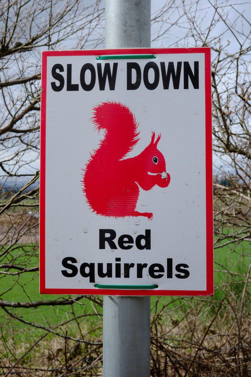
While we walked, we saw a sign cautioning drivers about red squirrels. I said I had to take a picture of this because we have these kinds of signs in Canada, but they are about moose and deer, not squirrels. But they explained to me that red squirrels were an endangered species in the UK, hence the signs. That made a lot more sense then.
Reaching Drymen#
Once I reached Drymen, the people I’d been walking with and I scattered, heading towards our booked accommodations. The problem was I found I was about 2 hours early to get into mine.
To pass some time, I sat on a picnic table in town “square”, drank some water, had a Cliff bar, and just watched a bit of small-town life play out. Older people greeted each other and sat and chatted. It was a familiar sight: this is the Scottish version of “coffee row” in small-town Canada.
I got into my accommodation at the Braeside Guest House early with an energetic and personable woman showing me to my room, where luggage was stored, giving me a sheet to order an optional lunch for the next day, and telling me where breakfast was in the morning.
I’d finished the first leg of the West Highland Way! My right knee was a little achy, but other than that, I was alive, not crawling on all fours, and not completely exhausted. And remember, this was after a very lousy sleep the night before, a very early start to the day, and after having walked just over 21 km.
Maybe I could actually do this!
Gallery#
(Click to see a larger version)
Finally we're far enough away from Milngavie to experience a feeling of wilderness.
Camera Model: iPhone 15 Pro
Click for Map Location:N 55.9675472 W 4.3463667
Finally we're far enough away from Milngavie to experience a feeling of wilderness.
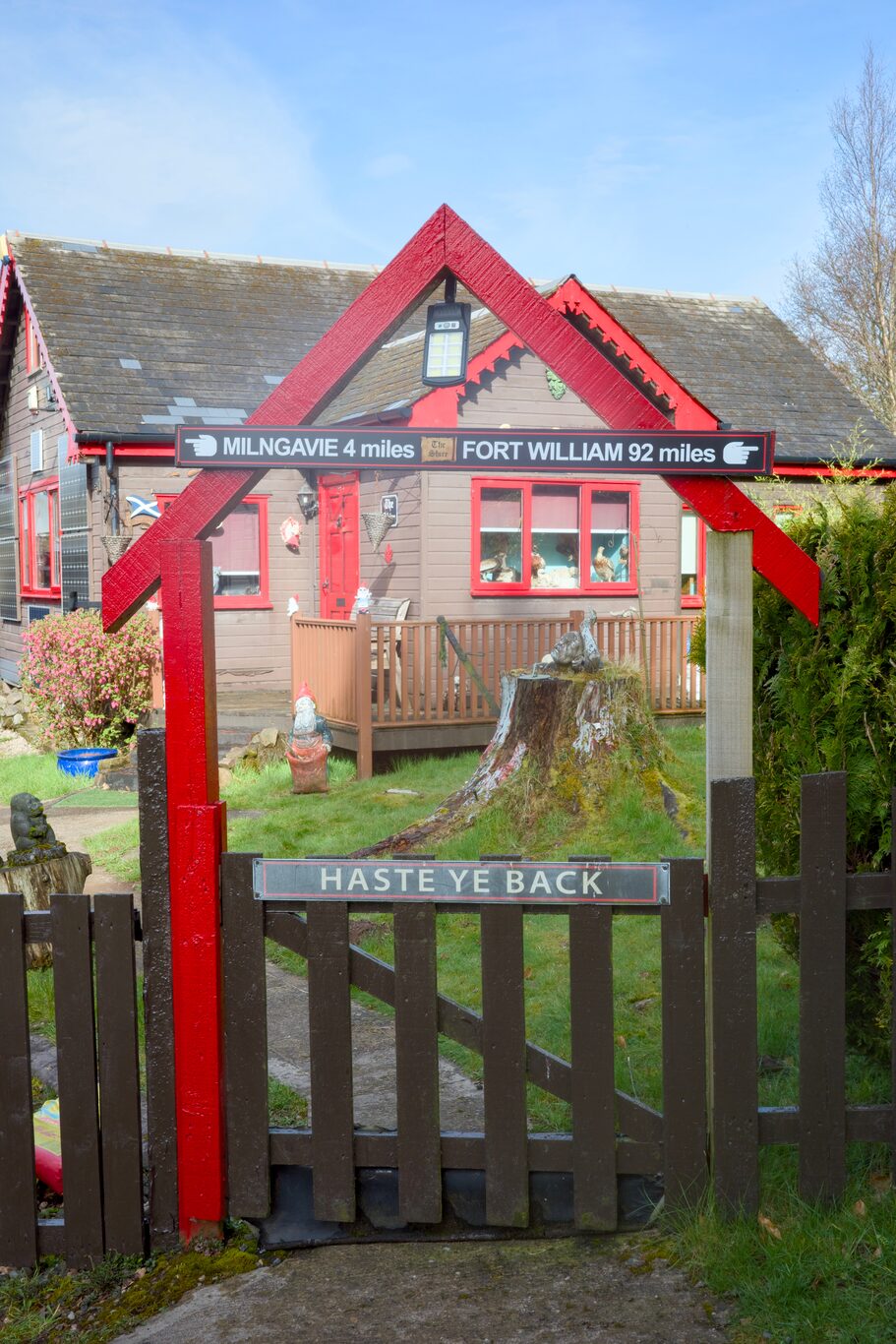
A cute sign and gate
Camera Model: RICOH GR IIIx
Click for Map Location:N 55.9852278 W 4.3464389
A cute sign and gate

A short stint along a road leads to the next section of the Way
Camera Model: RICOH GR IIIx
Click for Map Location:N 55.9869278 W 4.3472611
A short stint along a road leads to the next section of the Way

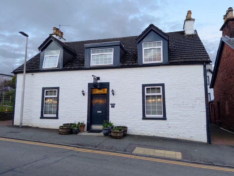
A typical gate with a typical white Scottish house in the background.
Camera Model: RICOH GR IIIx
Click for Map Location:N 55.9869722 W 4.3483639
A typical gate with a typical white Scottish house in the background.

The details are different, but this scene is not that different from rural Alberta
Camera Model: RICOH GR IIIx
Click for Map Location:N 55.9873722 W 4.3502722
The details are different, but this scene is not that different from rural Alberta
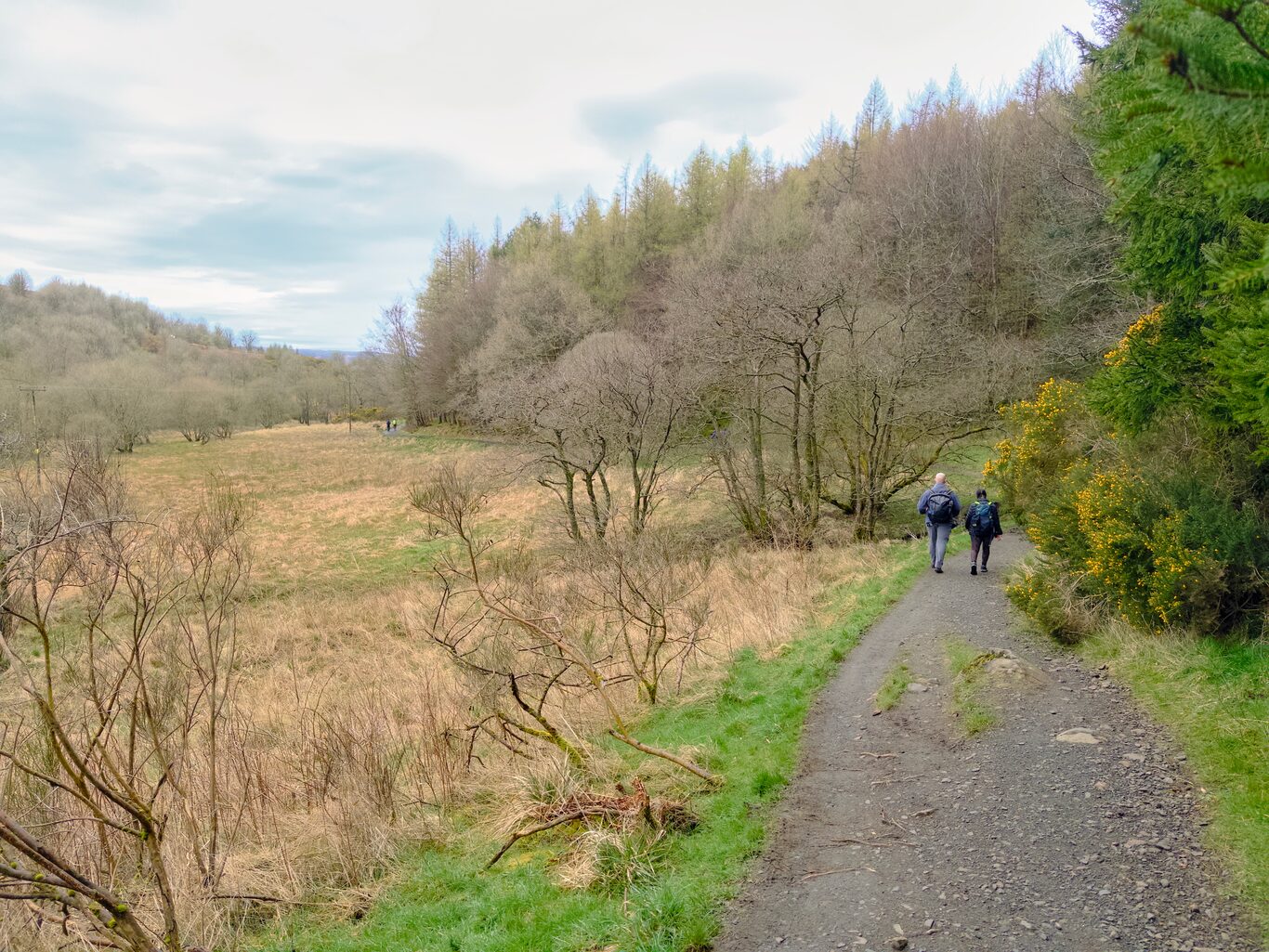
A path between fields
Camera Model: RICOH GR IIIx
Click for Map Location:N 55.9877806 W 4.3526972
A path between fields
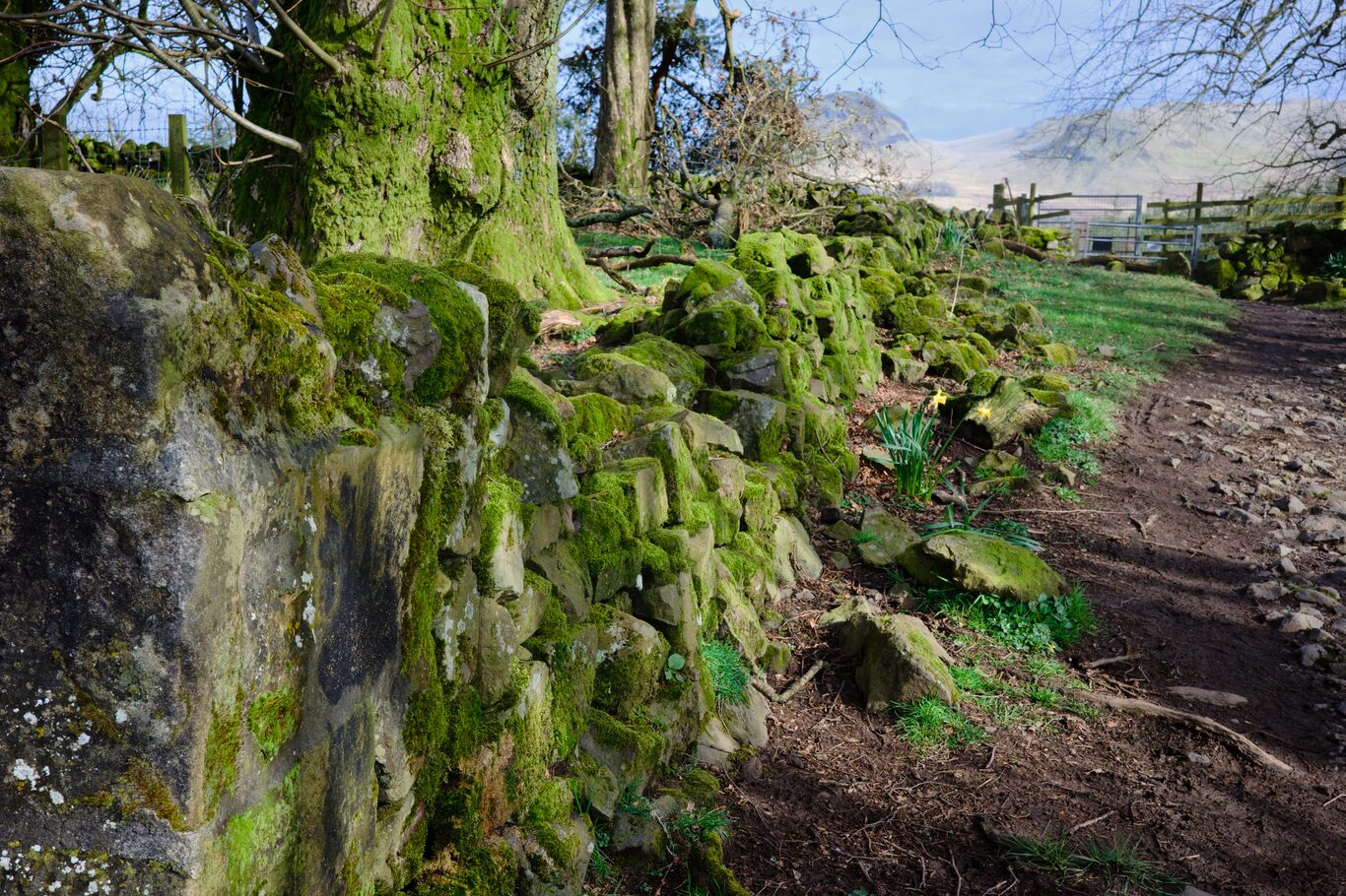
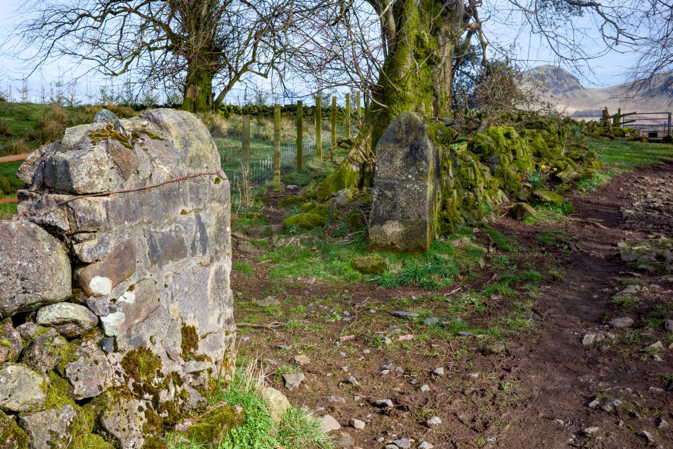
I was mesmerized by old rock walls covered by moss
Camera Model: RICOH GR IIIx
Click for Map Location:N 55.9886167 W 4.3522111
I was mesmerized by old rock walls covered by moss
More old moss-covered walls - now crumbling
Camera Model: RICOH GR IIIx
Click for Map Location:N 55.9886167 W 4.3522111
More old moss-covered walls - now crumbling
First views of hills in the distance
Camera Model: RICOH GR IIIx
Click for Map Location:N 55.9904222 W 4.3511861
First views of hills in the distance
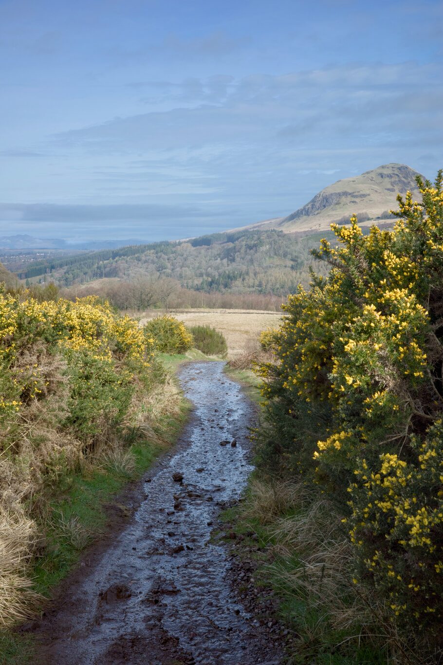
The trail was very wet at times
Camera Model: RICOH GR IIIx
Click for Map Location:N 55.9908389 W 4.3510889
The trail was very wet at times

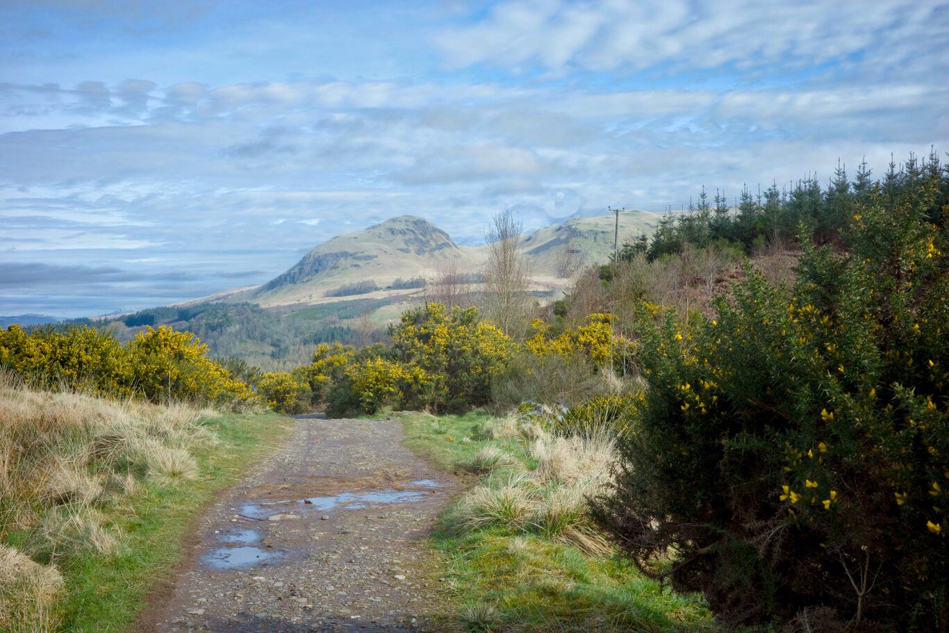
An expansive view of the trail with hills in the distance
Camera Model: RICOH GR IIIx
Click for Map Location:N 55.9912056 W 4.3510722
An expansive view of the trail with hills in the distance

A cute little house along the way - with a giraffe on the roof no less
Camera Model: RICOH GR IIIx
Click for Map Location:N 55.9926472 W 4.3503361
A cute little house along the way - with a giraffe on the roof no less

Signpost - were closer to our destination than we are from where we started!
Camera Model: RICOH GR IIIx
Click for Map Location:N 56.0143944 W 4.3694500
Signpost - were closer to our destination than we are from where we started!

There is so much "Horse Manure" available on social media these days that farmers have to give theirs away for free!
Camera Model: RICOH GR IIIx
Click for Map Location:N 56.0214444 W 4.3713694
There is so much "Horse Manure" available on social media these days that farmers have to give theirs away for free!

My first encounter with a field of sheep. Theyd become a common sight in later days.
Camera Model: RICOH GR IIIx
Click for Map Location:N 56.0493472 W 4.4245306
My first encounter with a field of sheep. Theyd become a common sight in later days.
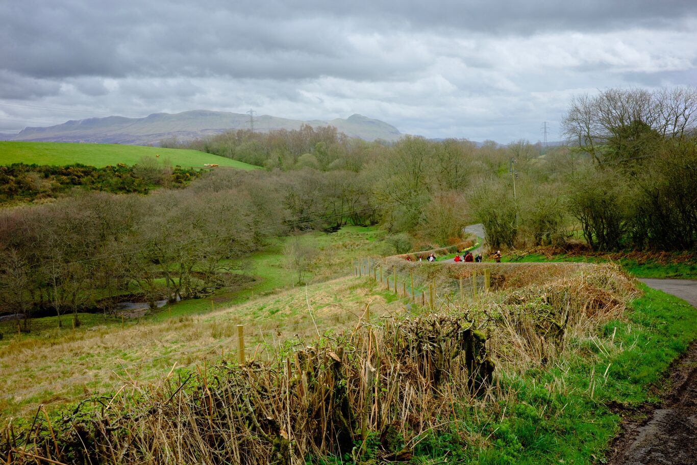
The winding road leading up to Drymen
Camera Model: RICOH GR IIIx
Click for Map Location:N 56.0505139 W 4.4273361
The winding road leading up to Drymen

My boots at the end of day one. This day and every day they served me well.
Camera Model: iPhone 15 Pro
Click for Map Location:N 56.0661222 W 4.4523500
My boots at the end of day one. This day and every day they served me well.

West Highland Way - 2026 - This article is part of a series.
Related
Return to Battle Lake
Hiking Baldy Pass Trail to Lusk Pass Trail