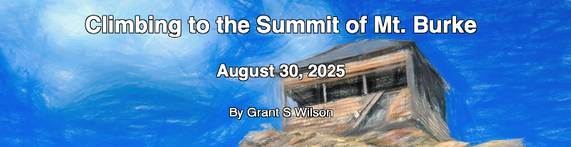
The Climb to the Summit of Mt Burke
Kananaskis Summer Trip - 2025 - This article is part of a series.
 I don’t think you could call anyone who made the climb to the “Fourteen Years Later @ the Mount Burke Summit” geocaching event comfortable exactly. But most of the other participants had made this climb multiple times in the past and all regularly climb other mountains in the area. So it would at least be fair to say they were accustomed to the effort required.
I was not accustomed and not comfortable in any sense of the word: for me it was a test both physically and psychologically.
Where is Mt Burke?#
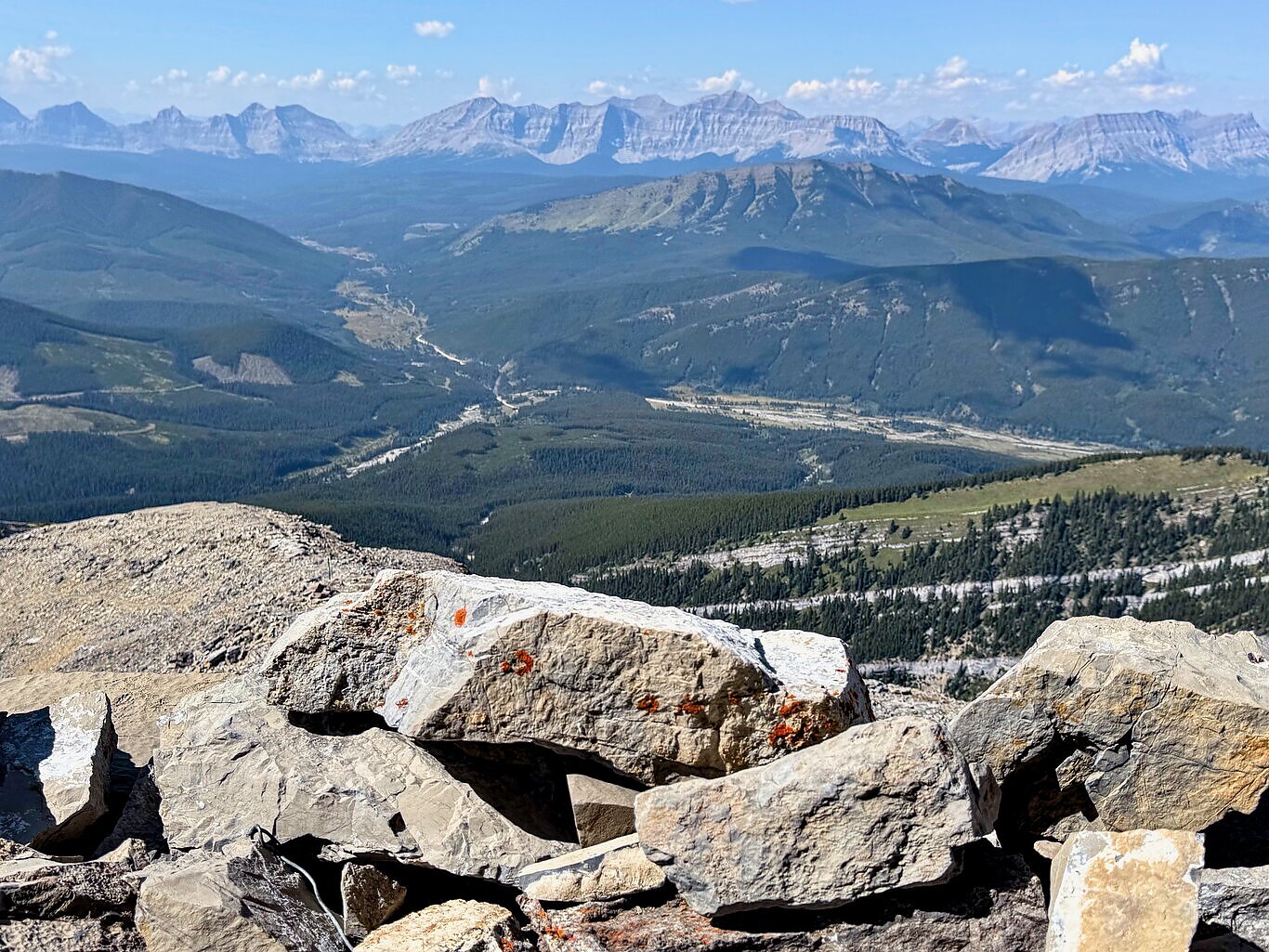
Mount Burke is the in southern portion of Kananaskis Country, adjacent to Cataract Creek Provincial Recreation Area. In approaching from the east you need to get yourself to Longview, Alberta which is on HWY 22 “Cowboy Trail”. Then travel west on HWY 541 into K-Country and then south on the dusty, gravelled HWY 940.
A “Mapbox Story” Showing Images In Context Along the Route#
Click the image below to open the story in a new tab. This is a “scrolly” story, so use your mouse’s scrolling wheel or even the “down” arrow on the keyboard to progress through the story.
The Physical Toll#
My GPS receiver tells me my geocaching buddy Dwaine and I started out just after 7:30 am and reached the summit just after 1 pm. That’s SLOW, much slower than anyone else in the group that summited today.
The trip computer on my GPSr device reported a little over 3 hours of stopped time during the trip. Some of that was logged resting and visiting with others at the summit itself, but the vast majority of it was spent taking frequent rest breaks during the relentless elevation gain on the way to the top and later on the way back down the mountain.
But the climb was made.
The Psychological Mind Game: Focusing on What’s in Front of You#
GPSr devices measure one’s speed and the graph of my speed looks like a picket fence. Stop; get going; stop; move again. That’s where the psychological tests came in: the times you had to get going again. I found the best way to handle that psychologically was to think of tackling only the next 10 meters in front of me.
Of course I knew - vaguely - that there was a lot more effort to come, but dwelling on all that effort ahead of me overwhelmed and throttled the urge to continue. Focusing on the next tiny 10 m segment, being determined to “conquer” it seemed doable. And in the end that mindset served me well.
In the end, against the odds, we persevered and were successful in reaching the summit today. Both of us had a terrible sleep the night before. I personally came to call my seldom used tent “the little hellhole of misery”. We both don’t climb mountains very regularly, so there weren’t those “baseline experiences of success” to build on, like “I climbed such and such a mountain, so I can climb this one!” We were very SLOW on the way up, and only slightly faster on the way down.
But as I’m now fond of repeating (and I admit, proud to be able to say): the climb was made.