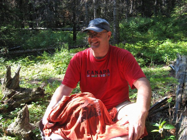
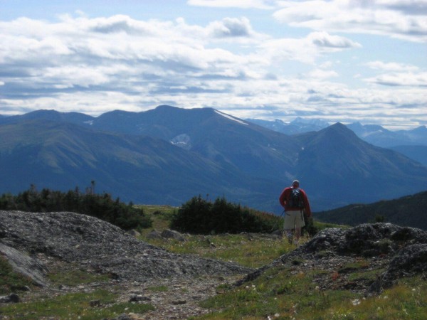
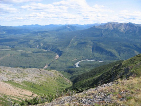
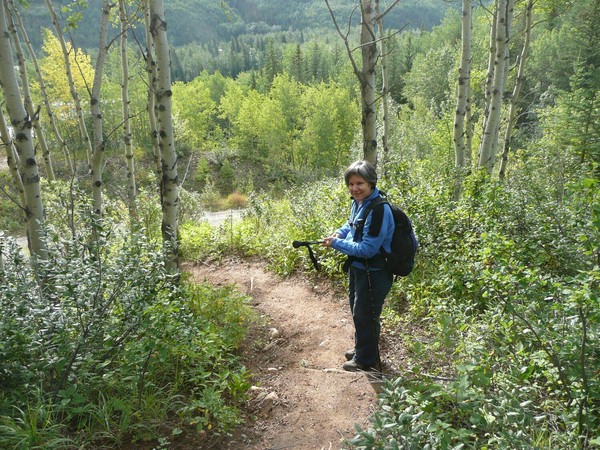
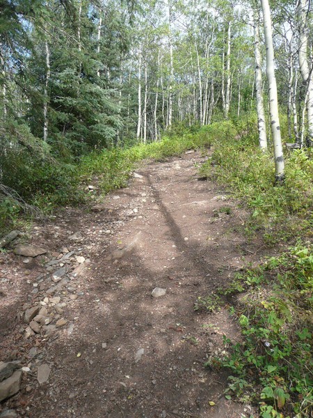
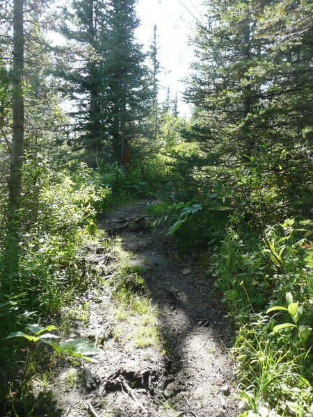
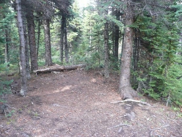
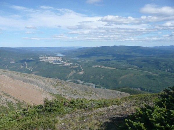
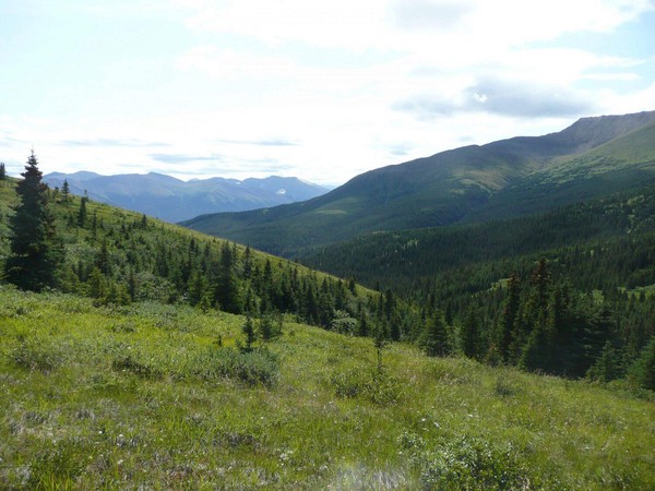
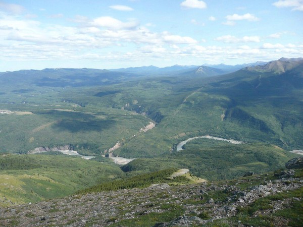
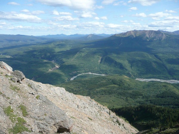
My friend Amy and I climbed up Mt. Stearn near Grande Cache on August 23, 2008. That sentence hardly tells the tale about how strenuous we both found this hike. This was the first time either of us had visited Grande Cache and little did we know we just happened to choose one of the more challenging trails in the area.
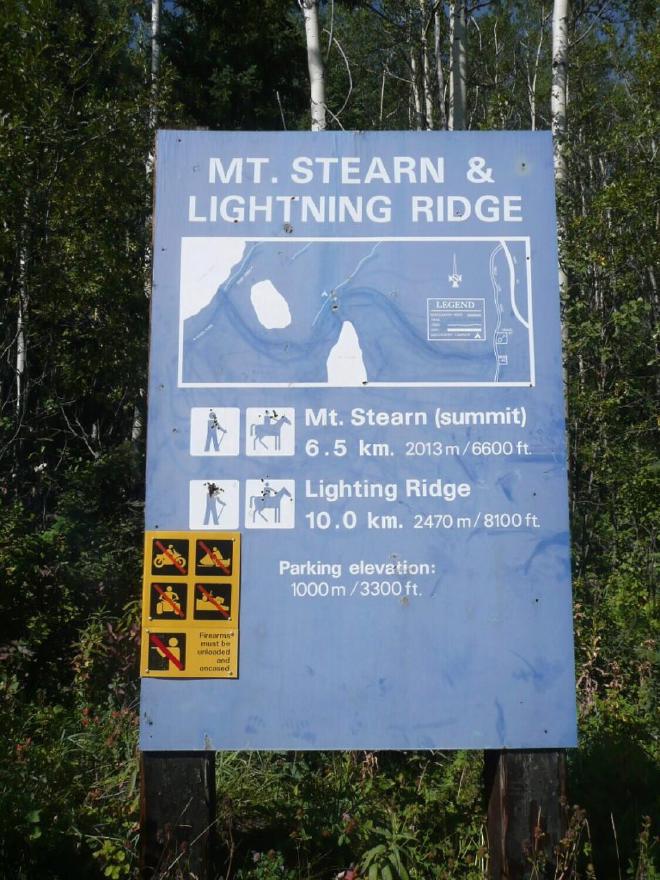
After checking out the hiking possibilities at the Information Centre we decided on Mt. Stearn. To be honest, neither of us knew what we were getting ourselves into. We understand the distance involved and felt comfortable with that, but speaking for myself anyway, I had no conception of the elevation gain involved, about 1175 m (3854 ft) from the trailhead to the summit. It was a about a 16.6 km hike for me (I went a couple of extra kms near the summit while I looked for a geocache which I didn’t find - and don’t feel bad at ALL about giving up on it).
On the way up we were passed by a couple of groups of equestrians, one of whom said, “Boy, you guys must be in shape”. I forget what was actually said out loud in response to that - and there’s a good chance we were just to tired to respond at all – but I know I was thinking, “Boy, am I ever NOT in shape, but I’m going to do this anyway”.
We agreed at the end of the hike that there was new psychological constant equation in life: 1200 m elevation gain = HELL. (Well, when you are in the physical shape we were in at the time, that is.)
We were both very proud to have finished this hike. It was a real accomplishment. In a masochistic kind of way, this hike awakened a goal: to climb all of the Bronze peaks in the local “Passport to the Peaks: program
B1 Grande Mountain 6520’ (completed July 26, 2009)
B2 Flood Mountain 6000’ (completed July 1, 2009)
B3 Mount Louie 6075’ (completed June 13, 2009)
B4 Mount Stearn 6625’ (almost made it once on this hike, but we weren’t aware of the “Passport to the Peaks” program when we did this hike; still have to do it. Again.)
B5 Ambler Mountain 6275’(completed July 4, 2009)
B6 Mount Hamell 6986’ (The highest elevation of the lot and still has to be done.)
In order to meet this goal, I’ll have to make a number of trips out to Grande Cache, get into getter physical shape and also get into better hiking shape. It will be a real challenge, and I don’t know if I can do it, but I’ll TRY!
