Hike to Lusk Creek Ridge Central Summit
Over a month or so before I arrived that morning I’d had such a great time reading the logs of all the caches along Lusk Creek Ridge. I saw there are a select few cachers who consistently showed up in the logs and who are obviously in to challenging themselves with hikes and climbs to seldom-reached spots. Just reading their logs and seeing that they had climbed this ridge time after time from different access points made me admire their tenacity and their energy!
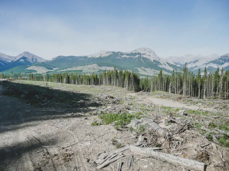
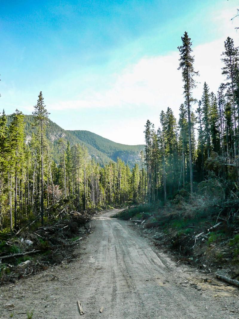
The route I’d elected to try to access the ridge was the not usual one used by most others to reach the top of the ridge. But this route started out on a logging road, a more or less flat trail to follow: something that I, an original native of Saskatchewan could relate to. But that relatively familiar and flat terrain would soon be a fond memory.
Instead of the direct route up, I took kind of a right flank on the first two waypoints I’d planned to head for, all supplied by a cacher, Sleepy_Hollow, who recommend the route over the one usually used to get to the top. I actually got close to Sleepy Hollow’s third waypoint, but that was a while later. Making this flank move just seemed a little more “sane” at the time, but of course anyone who has experience this kind of climb will know that “sane” is just a relative, and actually pretty meaningless, concept. In short, it was just me muddling through the situation, best I could.
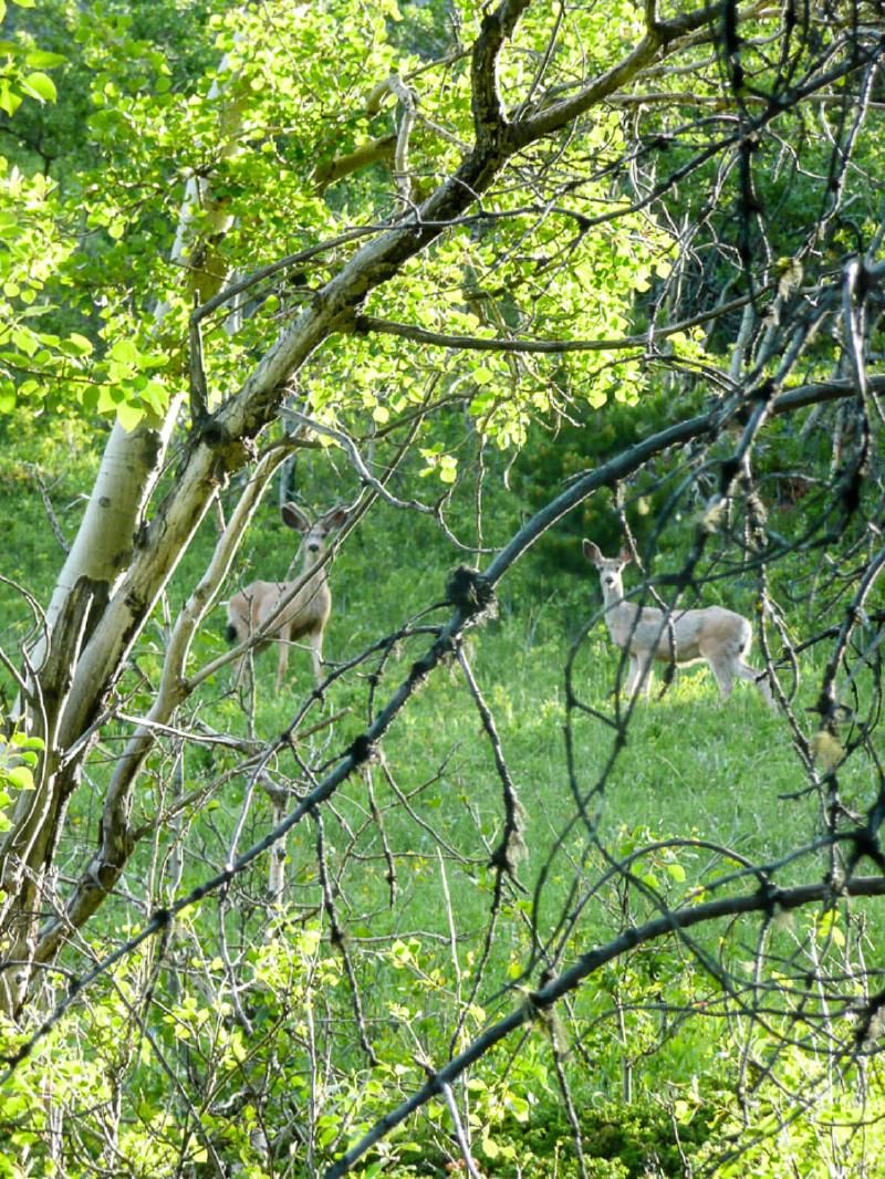
I made my way up slowly, oh, so slowly with frequent stops. On the way, unfortunately, I managed to barge right into the living room of couple of jumpers. They retreated and stood watching me for a while and I could just hear them saying, “Like, he’s not coming up any further is he?” “Of course not!” was the reply, “Look at him! He’s only using two legs and those silly pole things.” When I did manage to move upward again, they literally pranced four hooves at time like they do UP the nasty slope away from me like it was nothing, leaving me behind panting and in awe of their energy and speed.
At little later, I had to climb a couple of ledges to continue up. I wasn’t entirely happy with that because it’s just not something I’m used to doing, but it had to happen. And you know, speaking as a relative newbie at this “off trail” hiking thing, I think that’s where the allure is in doing this kind of thing: you meet situations where you just do what has to be done, even if it’s a hard thing to be done. All theorizing stops. At first thinking helps out a to be sure, but soon it stops and then the doing starts. And what you’re doing becomes ALL you’re doing. I know that kind of attention to the moment was essential for me while climbing up those small ledges.
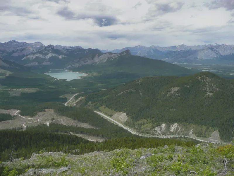
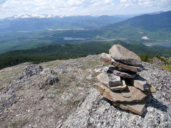
Still, ever so slowly, I made my way to the summit, , and when I reached the top and glimpsed the metal of cache container, a loud “YES” of triumph was heard, well, by no one but me. I would have done a happy dance had I had the energy and I guess I would have pumped my fist when I said, “YES!”, but again, no energy.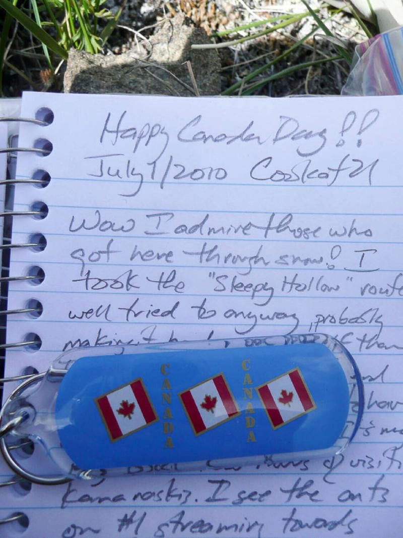
I admire those who have managed to make their way to the cache at the summit; I can’t imagine doing it in the snow as many have done. What I admire is that the names in this cache log are also in the logs of many if not all the other caches on the Lusk Creek Ridge. That means that getting here wasn’t merely a “one-off”, that they undertook this challenging trek and then some other morning got up and did it again, and again some other morning…. That’s what I admire.
After taking a bunch of pictures, resting and having a bite to eat, I contemplated going for few cache south of this spot and on to another summit to the south. But I knew my energy just wasn’t there that day to do all that. What’s more I would have had to go DOWN and then UP again in order to get where I was going. Psychologically, I just didn’t think I could do it.
Instead made my way over to another cache and, thankfully, I was going down now, so the trek didn’t seem as difficult by far. Mercifully, the path to this cache was along a ridge, complete with a game trail to walk along for most of the way. It was absolute luxury compared to the hike up to the summit. I made my way to the cache and with the help of the hint made the find quickly.
The view from nearby was awesome. It gave me a clear view of the road I’d taken to get to my parking spot a few hours before. I honestly felt I was being spoiled with the wonderful views during my first few hours in Kananaskis. As I write this I know there is much, much more to see in the great area.
All I needed now is to make my way down to logging road to where I’d started. This part of the hike was uneventful until I reached the sheer slope that I’d avoided at the beginning of the climb up. I swear, on the whole going down that slope hurt almost as much as the climb up. The downward slope was such that my toes were always scrunched into the front of my boots and of course I had to go down so there was no let up in this. Strange to say, but it was hard climb down because of the toe pain, not the lung pain and exhaustion I’d felt on the way up.
Eventually, however, I was able to get down to level ground again and make my back along the logging road to the car.
It was a challenging, memorable and somehow magical trek to the top of Lusk Creek Ridge and back. Since it was my first experience ever in Kananaskis, I don’t think I’ll ever forget the experience.
My Track Log#


