Exploring Edinburgh - Day 3 - The Royal Mile, Greyfriars Kirkyard & Newhaven Harbour
Exploring Edinburgh - This article is part of a series.
Morning - The Royal Mile and Edinburgh Old Town#
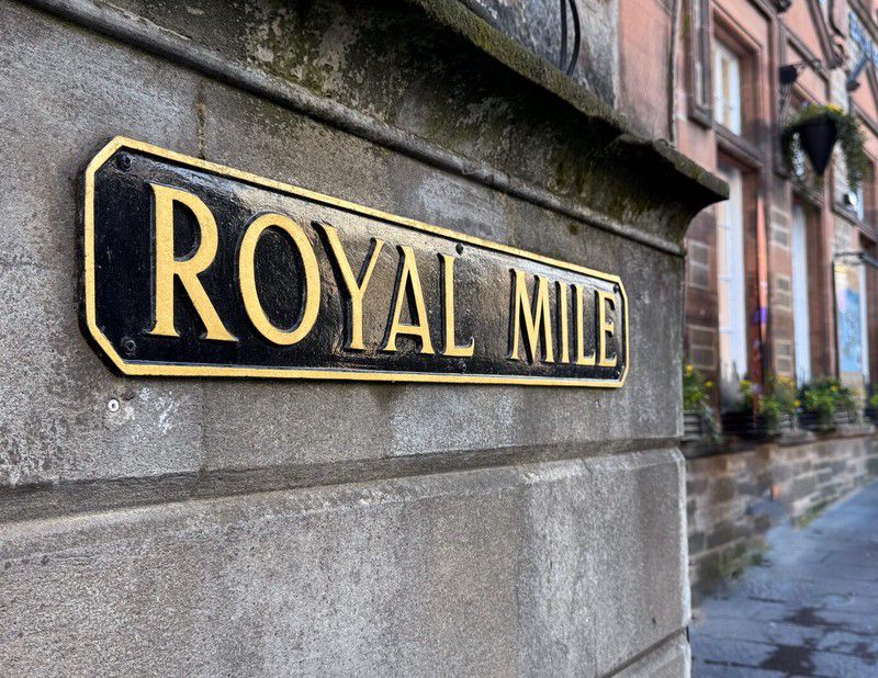
I’d walked from the east along “the mile” first on Canongate Street, then High Street from the Palace and the Scottish Parliament the day before, but before covering the western portion I veered off north towards Princes Street to catch a tram back to my accommodation.
St Giles’ Cathedral#
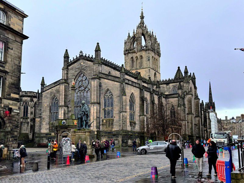
Founded in 1124, St. Giles’ is the “High Kirk of Edinburgh, Scotland’s National Church” and the “mother church of Presbyterianism”.1 This was a Sunday morning on Easter weekend so as I walked around the building I sensed that today it wasn’t merely an object of tourism to be admired / ogled / photographed. Instead this grand building was serving in its role as an actual place of religious worship, evidenced by ministers welcoming parishioners at the entrance. Although I don’t share the religious belief, as a tourist I felt I was intruding on the true purpose this building was meant to serve.
Greyfriars Kirkyard#
After checking out St Giles’, instead of continuing west on High Street toward Edinburgh Castle, I’d planned to turn south on Bank Street to visit Greyfriars Kirkyard (cemetery).
Greyfriars Kirkyard has been made famous for a couple of reasons. First, people want to visit the nearby statue of a small dog named “Greyfriars Bobby” just outside the entrance of the kirkyard. Bobby, a Skye Terrier, reportedly spent 14 years guarding his owner’s grave in the kirkyard before the dog also passed in 1872. It’s very likely the story surrounding Greyfriars’ Bobby has been embellished over the years; nonetheless the dog became a symbol of steadfast loyalty, resulting in statues, books, novels and multiple films about him.
Fame has also come to the Kirkyard via the Harry Potter series of books. You may have heard of them. Apparently J.K. Rowling wandered through the cemetery and used some of the names on the headstones as character names in the books. Thomas Riddle (Lord Voldemort - the big baddy) is the most popular example.
Memento Mori & Memento Vivere#
“Remember Death” & “Remember to Live”
(Click to see a larger version)
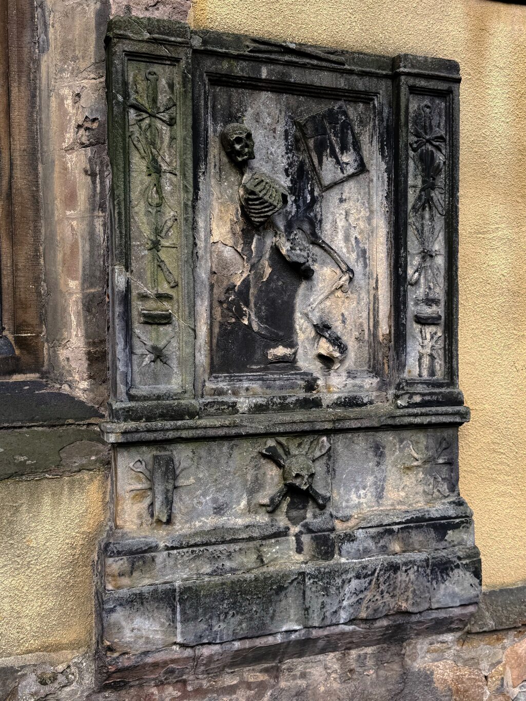
A memento mori ("Remember Death") "headstone" on the front of the Greyfrairs Kirk. It actually marks the grave of a James Borthwick, a professor of anatomy, who died in 1676.
Camera Model: iPhone 15 Pro
Click for Map Location:N 55.9465861 W 3.1918139
A memento mori ("Remember Death") "headstone" on the front of the Greyfrairs Kirk. It actually marks the grave of a James Borthwick, a professor of anatomy, who died in 1676.
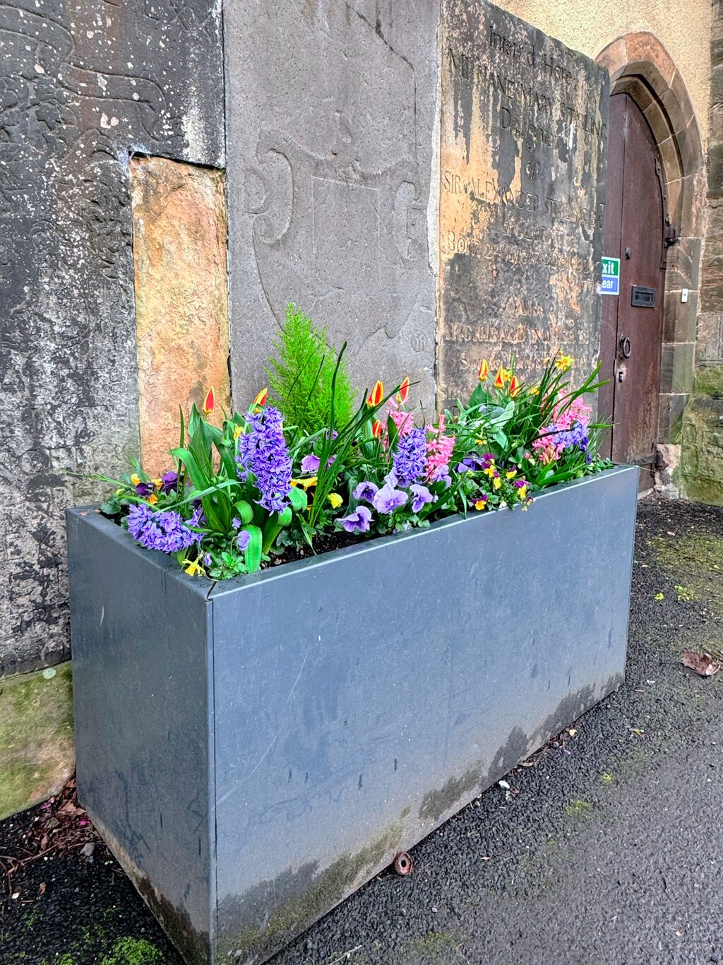
After seeing the memento mori headstone I found this and call it memento vivere, "remember to live".
Camera Model: iPhone 15 Pro
Click for Map Location:N 55.9467778 W 3.1919111
After seeing the memento mori headstone I found this and call it memento vivere, "remember to live".
I enjoyed the quiet stroll around Greyfriars Kirkyard and as usual in most graveyards I visit, I was struck by the urge of humans to make some kind of mark on the world to be remembered. It’s a natural urge but in the long run misguided. Few face the reality of things better than John Keats’ simple gravestone in a cemetery in Rome. It reads, “Here lies One Whose Name was writ in Water”.
Rich people have the means to build larger, grander monuments to themselves and their families. Those without so much wealth can only erect simple gravestones. The grand, ornate gravesites are doing their job: they still exist, but it’s also obvious that large or small, all are fading and eroding with time.
Greyfriars Kirkyard Gallery#
(Click to see a larger version)
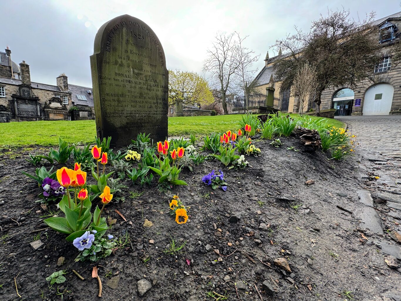
Greyfrairs Kirkyard - I like the contrast between the headstone and the bright lively flowers around it.
Camera Model: iPhone 15 Pro
Click for Map Location:N 55.9470139 W 3.1924278
Greyfrairs Kirkyard - I like the contrast between the headstone and the bright lively flowers around it.
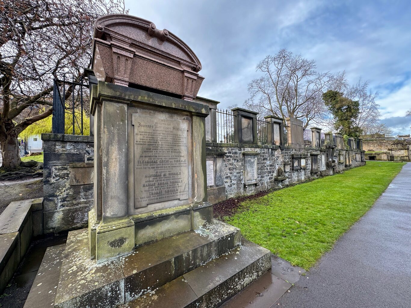
A Sibbald family plot and the head of row of wall-mounted headstones
Camera Model: iPhone 15 Pro
Click for Map Location:N 55.9471806 W 3.1926500
A Sibbald family plot and the head of row of wall-mounted headstones
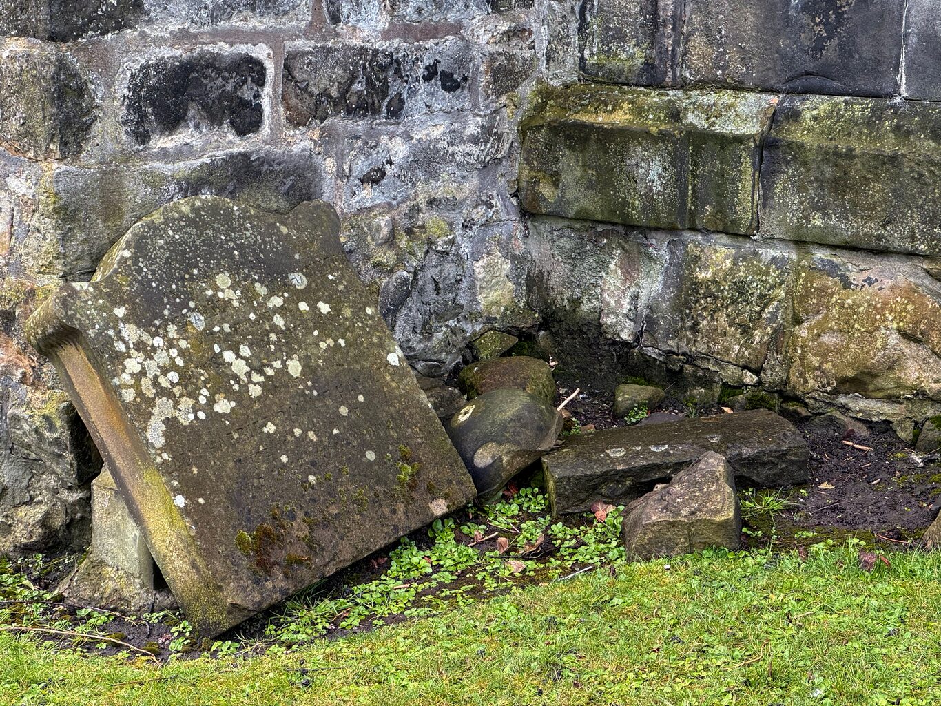
This simple gravestone amongst rubble caught my eye.
Camera Model: iPhone 15 Pro
Click for Map Location:N 55.9470167 W 3.1932389
This simple gravestone amongst rubble caught my eye.
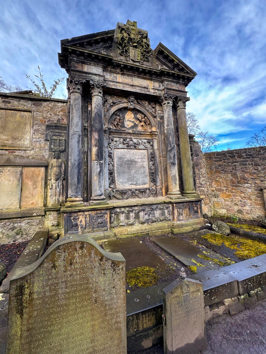
This imposing burial plot can't help but command attention.
Camera Model: iPhone 15 Pro
Click for Map Location:N 55.9466694 W 3.1933444
This imposing burial plot can't help but command attention.
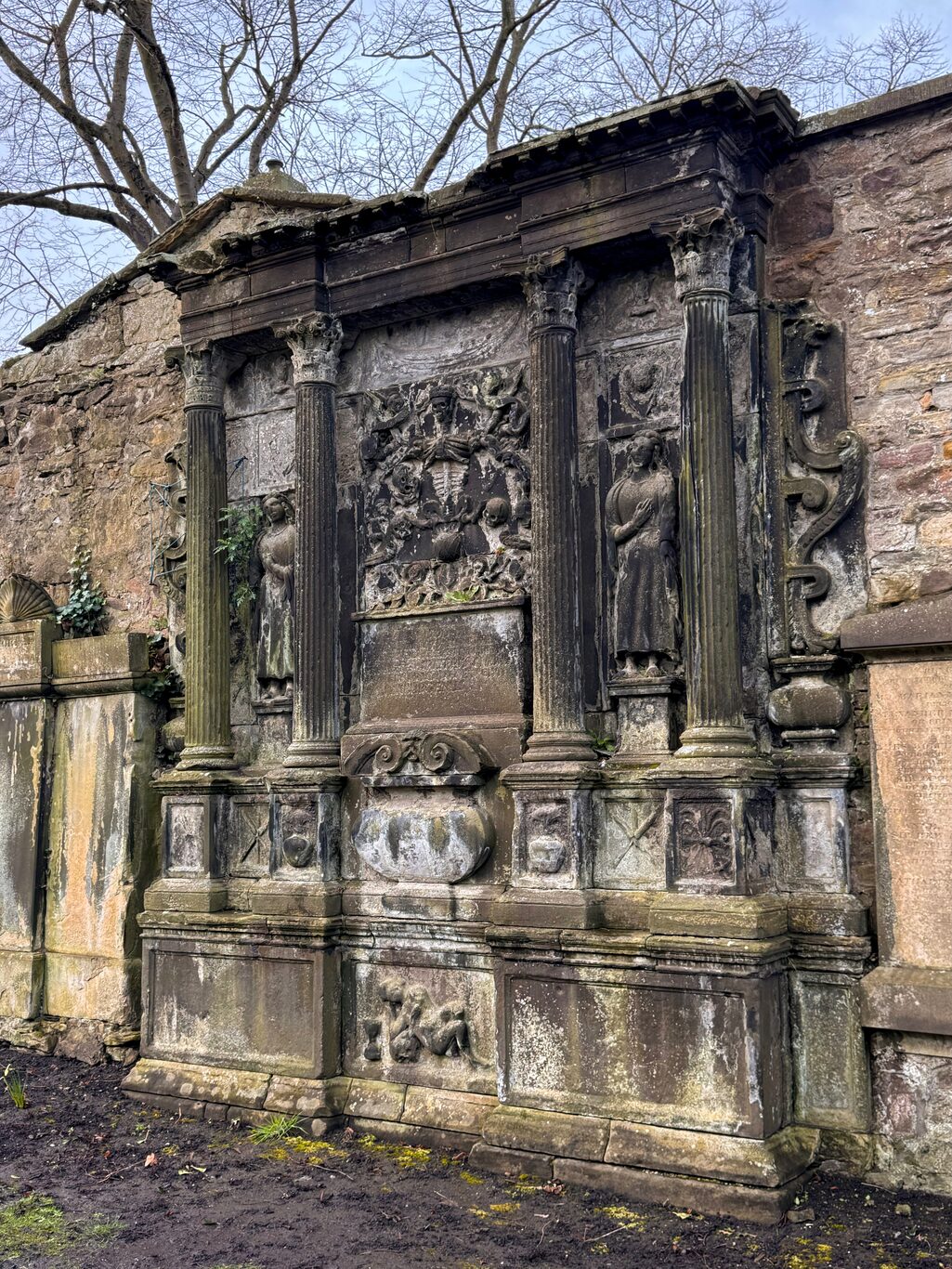
A large, ornate gravesite, yet time has erased who it actually belong to.
Camera Model: iPhone 15 Pro
Click for Map Location:N 55.9466528 W 3.1933222
A large, ornate gravesite, yet time has erased who it actually belong to.
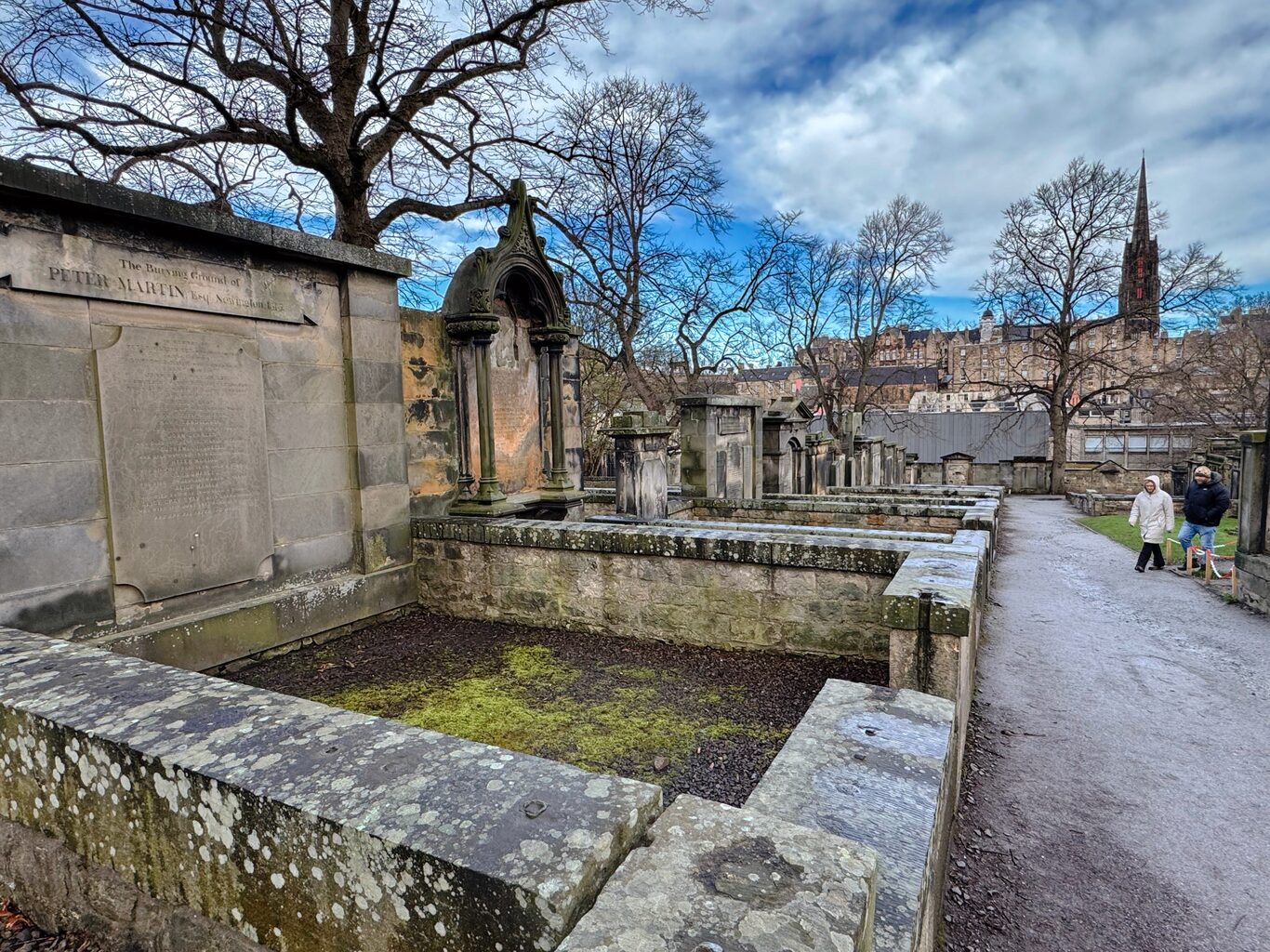
A row of large plots
Camera Model: iPhone 15 Pro
Click for Map Location:N 55.9465750 W 3.1935056
A row of large plots
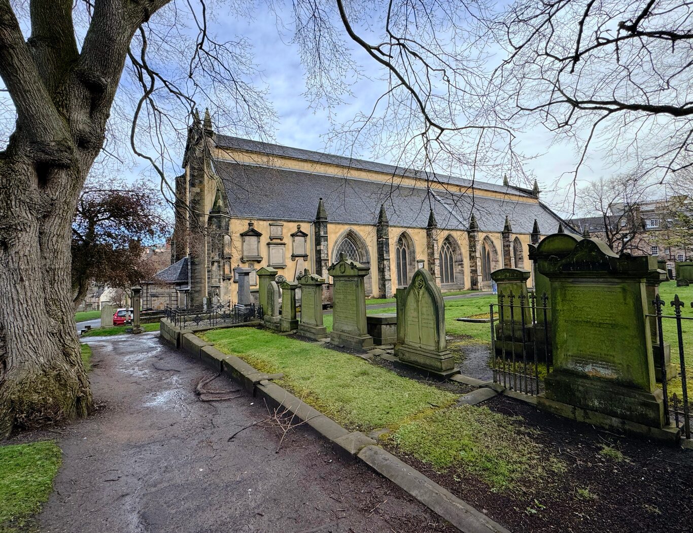
Greyfriars Kirk (church), a building that has seen centuries of religious and political turmoil.
Camera Model: iPhone 15 Pro
Click for Map Location:N 55.9463222 W 3.1926861
Greyfriars Kirk (church), a building that has seen centuries of religious and political turmoil.
Grassmarket Square#
I headed over to Grassmarket Square to search for a geocache that I really wanted to find. After success there, I sauntered around a bit.
(Click to see a larger version)
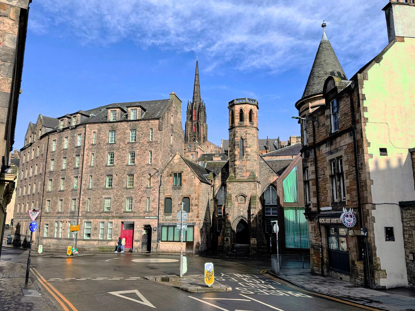
Looking northward on Candlemaker Row, just outside Greyfairs Kirkyard
Camera Model: iPhone 15 Pro
Click for Map Location:N 55.9476889 W 3.1929611
Looking northward on Candlemaker Row, just outside Greyfairs Kirkyard
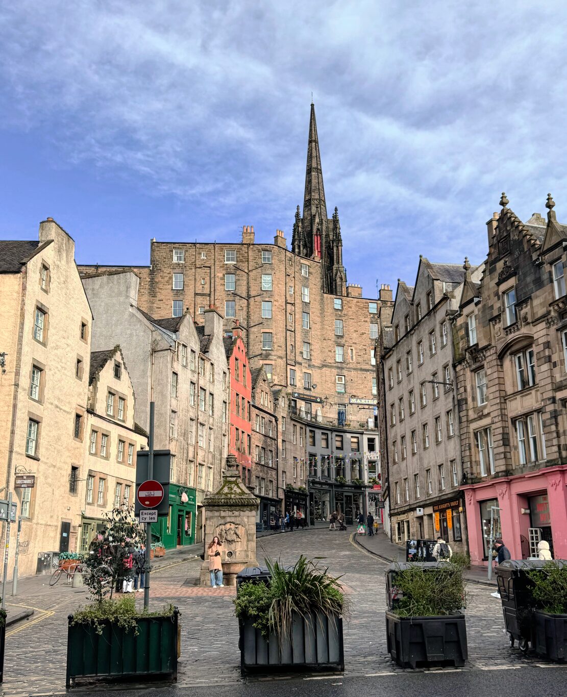
Looking northward up Victoria Street
Camera Model: iPhone 15 Pro
Click for Map Location:N 55.9477917 W 3.1943306
Looking northward up Victoria Street
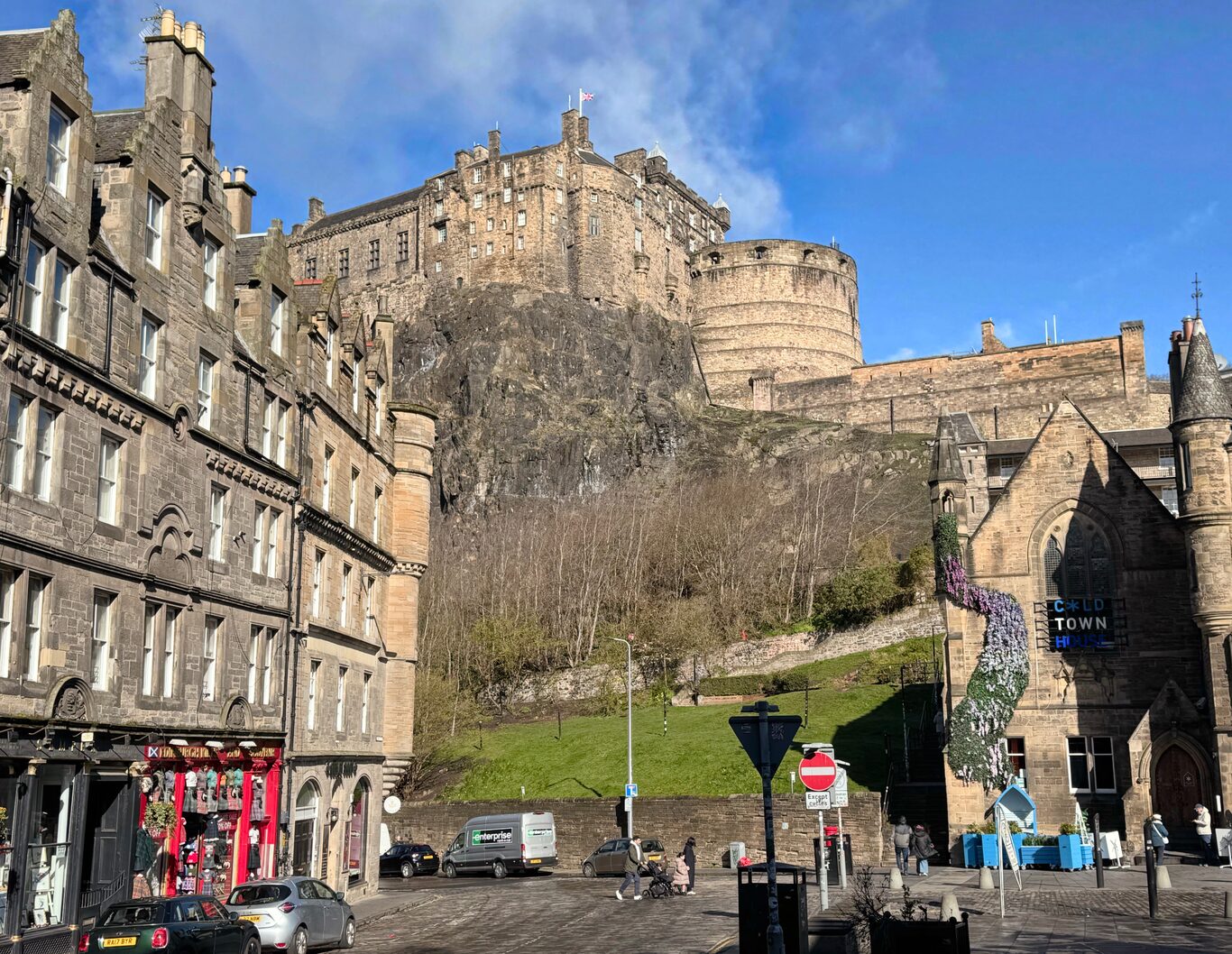
Edinburgh Castle commands the view from Grassmarket Square
Camera Model: iPhone 15 Pro
Click for Map Location:N 55.9469306 W 3.1975139
Edinburgh Castle commands the view from Grassmarket Square
Edinburgh Castle#
After finding a geocache at a corner in nearby Grassmarket Square, I headed along Victoria Street and then back to High Street to finish my walk around Old Town at Edinburgh Castle. By this time there were throngs of tourists in the area as you can’t help but notice in the pictures I’ve taken. At Edinburgh Castle I even took a rare selfie in service to a virtual geocache that only requires proof you were at the castle.
Near Edinburgh Castle#
(Click to see a larger version)
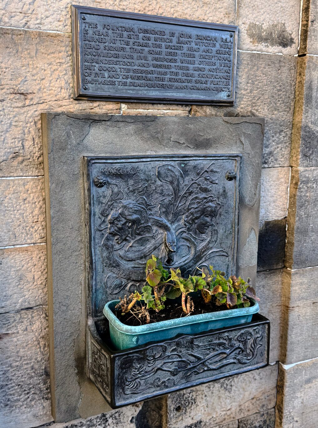
A memorial called The Witches Well, commemorating the execution of many - mostly women - accused of being witched.
Camera Model: iPhone 15 Pro
Click for Map Location:N 55.9488861 W 3.1964583
A memorial called The Witches Well, commemorating the execution of many - mostly women - accused of being witched.
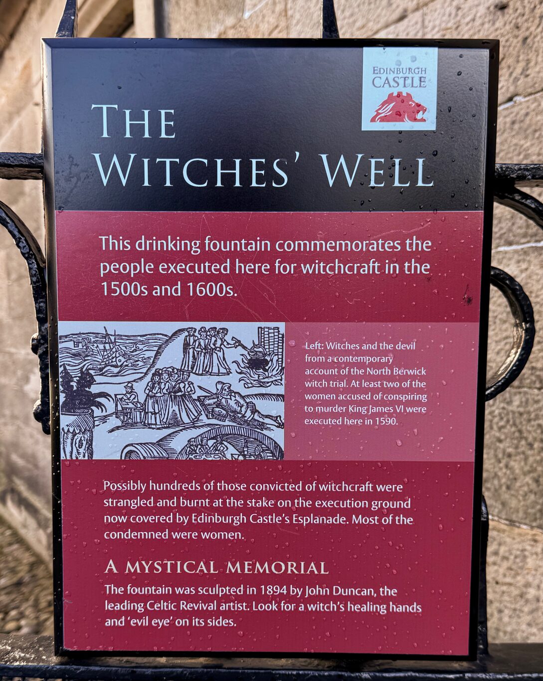
The Witches Well signboard.
Camera Model: iPhone 15 Pro
Click for Map Location:N 55.9488944 W 3.1964750
The Witches Well signboard.
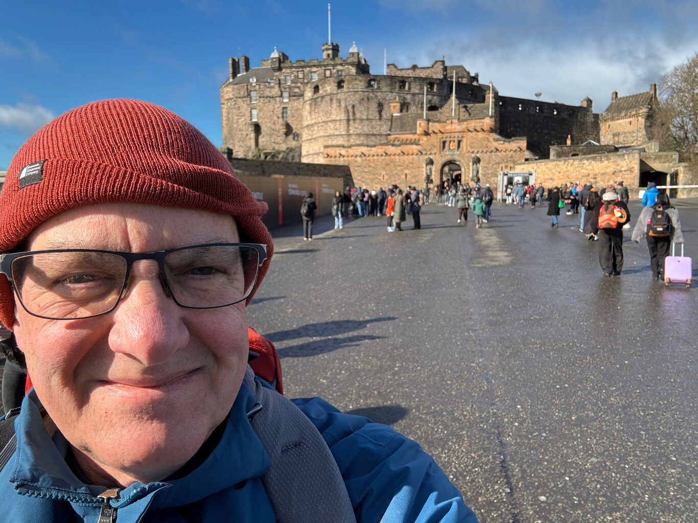
A rare selfie on the tarmack in front of Edinburgh Castle.
Camera Model: iPhone 15 Pro
Click for Map Location:N 55.9486722 W 3.1972778
A rare selfie on the tarmack in front of Edinburgh Castle.
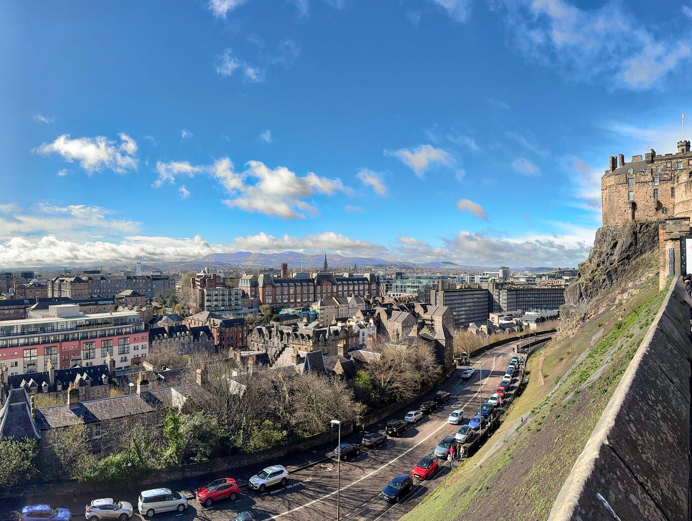
The southwest view from Edinburgh Castle tarmack
Camera Model: iPhone 15 Pro
Click for Map Location:N 55.9484778 W 3.1971472
The southwest view from Edinburgh Castle tarmack
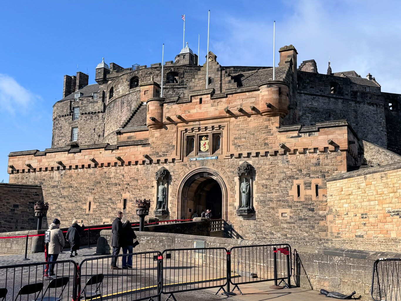
Entrance to Edinburgh Castle
Camera Model: iPhone 15 Pro
Click for Map Location:N 55.9487444 W 3.1981167
Entrance to Edinburgh Castle
At that point I felt I was well done with traipsing as a tourist. I made my way down the steep slope along Ramsay Lane generally toward Princes Street where I caught a tram back to my accommodation. I half-thought I’d spend the rest of the day getting ready for the next day’s early-morning journey from Edinburgh to Glasgow and then to Milngavie where I’d start the West Highland Way.
But once at the accommodation and after a short rest, on the spur of the moment I decided I should make the most of my time in the city and that I should make one more excursion along the tram line to Newhaven Harbour with the idea it would be exploration without expending too much energy.
Newhaven Harbour#
The Edinburgh tramline serves a substantial swath through the central part of the city. I’d used the tram every day of my visit to start me off on planned walking routes. Now I wanted to take the tram all the way to its northern terminus at Newhaven Harbour.
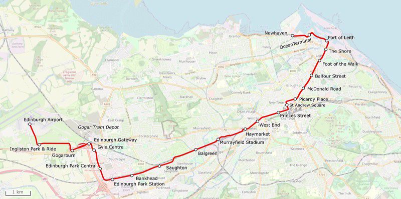
The tram ride north was fun as I gawked through the tram windows like the tourist I was. As mentioned, over the past couple of days I’d gotten quite used to streets lined with old stone buildings, but during this ride it struck me that these old buildings weren’t just in the “touristy” parts of the city, they were everywhere as far as the eye could see. Of course that makes complete sense because in earlier times the sea was a place of commerce and a method of travel and therefore the harbour historically would have been a crucial hub of the city.
I got off the tram at the Newhaven stop and simply started walking toward the harbour. It was fun to simply walk and explore with no particular plan in mind. It was ridiculously windy though and the force of the wind seemed to get even more fierce as I decided to make a lighthouse along the shoreline my destination. I know now it’s called “Newhaven Lighthouse” and was originally built in 1869, eventually decommissioned in 1930.
(Click to see a larger version)
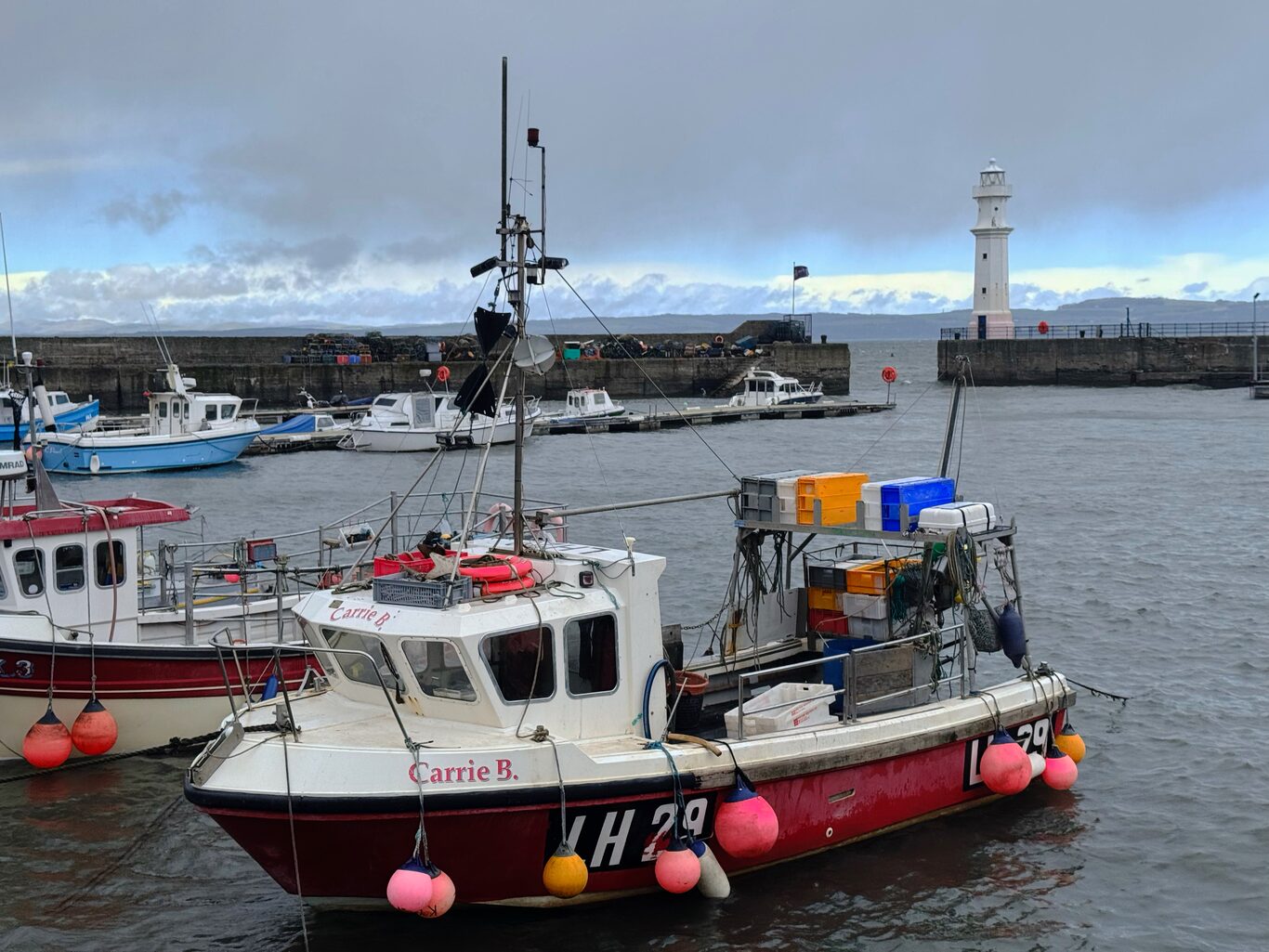
Fishing boats inside the breakwater at Newhaven Harbour
Camera Model: iPhone 15 Pro
Click for Map Location:N 55.9810722 W 3.1953694
Fishing boats inside the breakwater at Newhaven Harbour
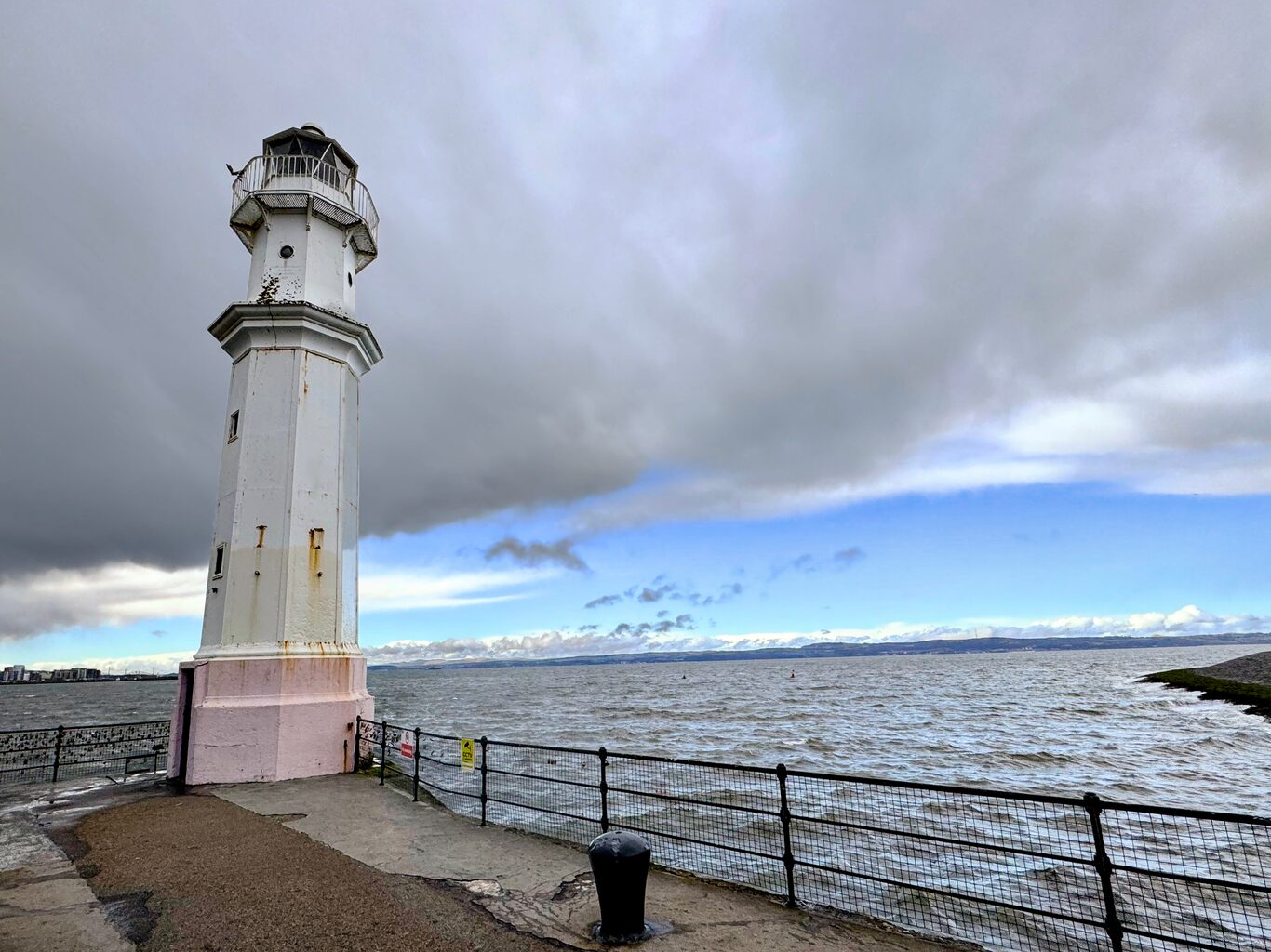
Newhaven Lighthouse. It doesnt serve as a lighthouse these days, but apparently shines coloured lights over the harbour at night.
Camera Model: iPhone 15 Pro
Click for Map Location:N 55.9822778 W 3.1962944
Newhaven Lighthouse. It doesnt serve as a lighthouse these days, but apparently shines coloured lights over the harbour at night.
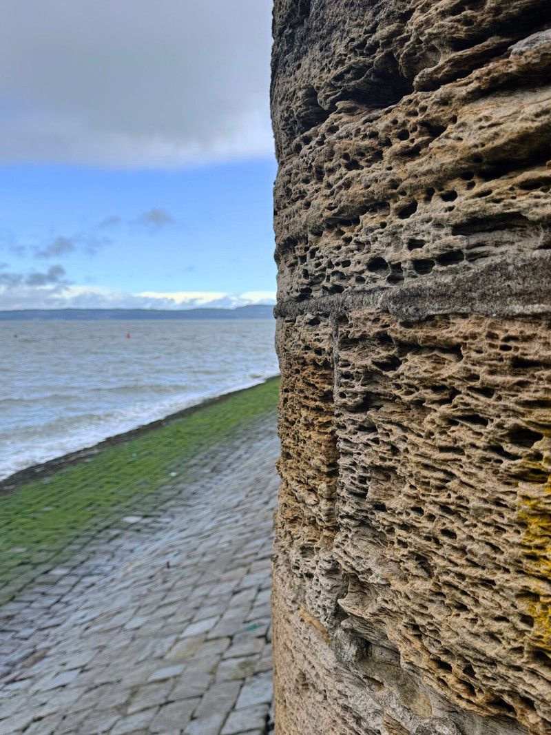
That was the extent of my exploration in the area. Throughout the entire outing my attitude was that anywhere I happened to end up would be fun and rewarding, because it was all new to me. Plus for a prairie boy to be anywhere near a wide expanse of water is special. In this case the Firth of Forth, part of the North Sea.
After this somewhat spontaneous afternoon outing it was time to ready myself to embark the next day on a multi-day excursion that I’d been planning for and anticipating for months: the West Highland Way.
West Highland Way - Day 1 - Milngavie to Drymen

Exploring Edinburgh - This article is part of a series.
Related
Exploring Edinburgh - Day 2 - Calton Hill & Holyrood Park
Exploring Edinburgh - Day 1 - Travel and First Day Arrival