Exploring Edinburgh - Day 2 - Calton Hill & Holyrood Park
Exploring Edinburgh - This article is part of a series.
During the first full day of my exploration of Edinburgh, I used geocaches to provide me with the “waypoints” to walk to during the day. These caches were both “virtual”, where there is no container hidden and proof is required you were actually on scene, and regular caches where an actual container is hidden.
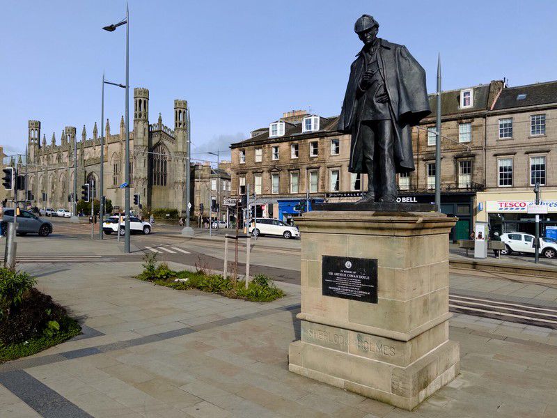
Picardy Place#
Old Calton Cemetery#
My next destination was the nearby Calton Hill. On the way there, it seems I’m never able to walk past a graveyard, especially one named “Old Calton Cemetery”. The cemetery was divided by work on Waterloo Place, a large hotel, in 1819. I visited the smaller portion of the burial ground. The larger portion of the cemetery is more famous but it wasn’t on my itinerary today.
(Click to see a larger version)
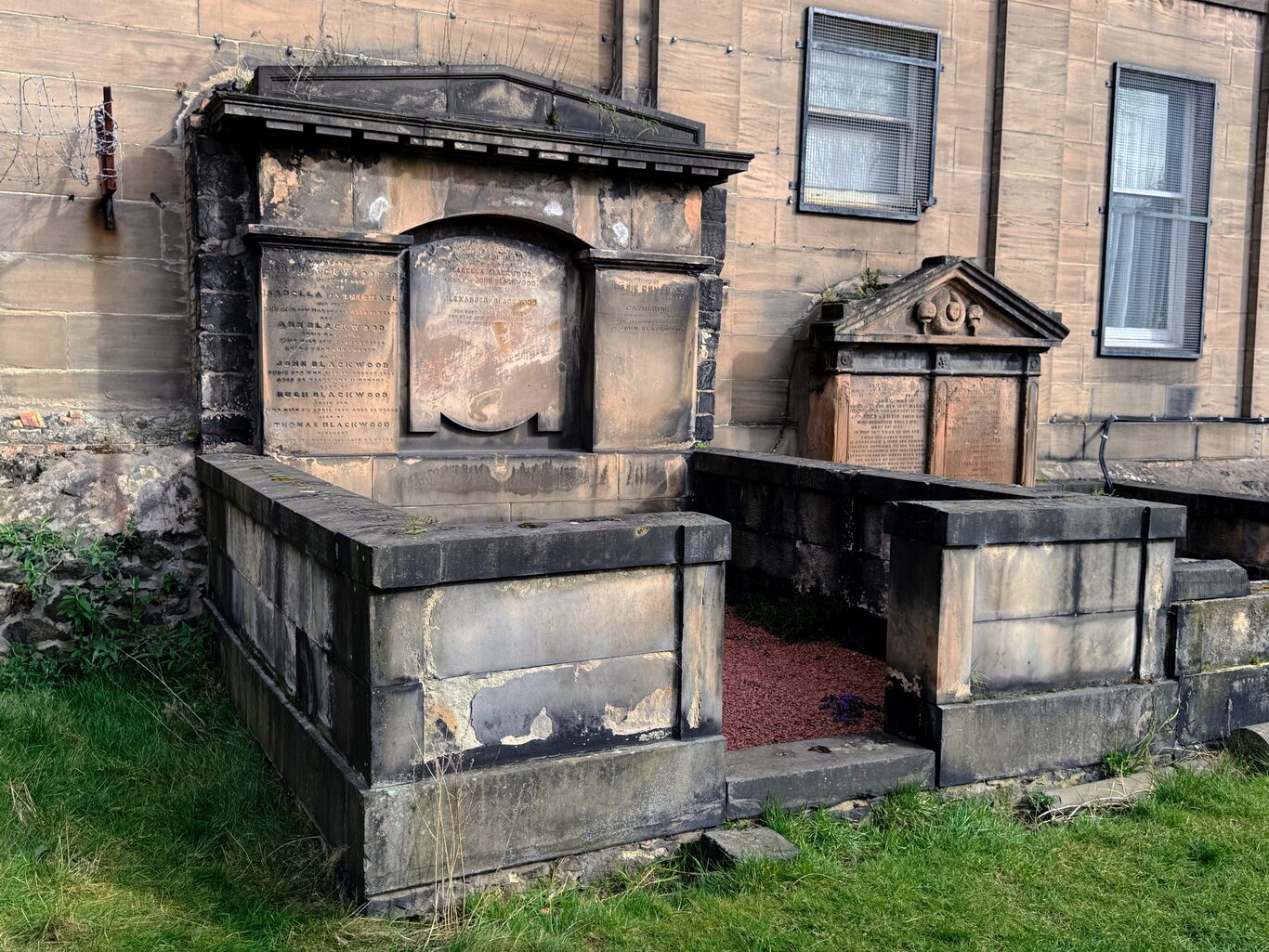
A Blackwood family burial plot in the smaller section of the Old Calton Burial Ground.
Camera Model: iPhone 15 Pro
Click for Map Location:N 55.9540889 W 3.1862417
A Blackwood family burial plot in the smaller section of the Old Calton Burial Ground.
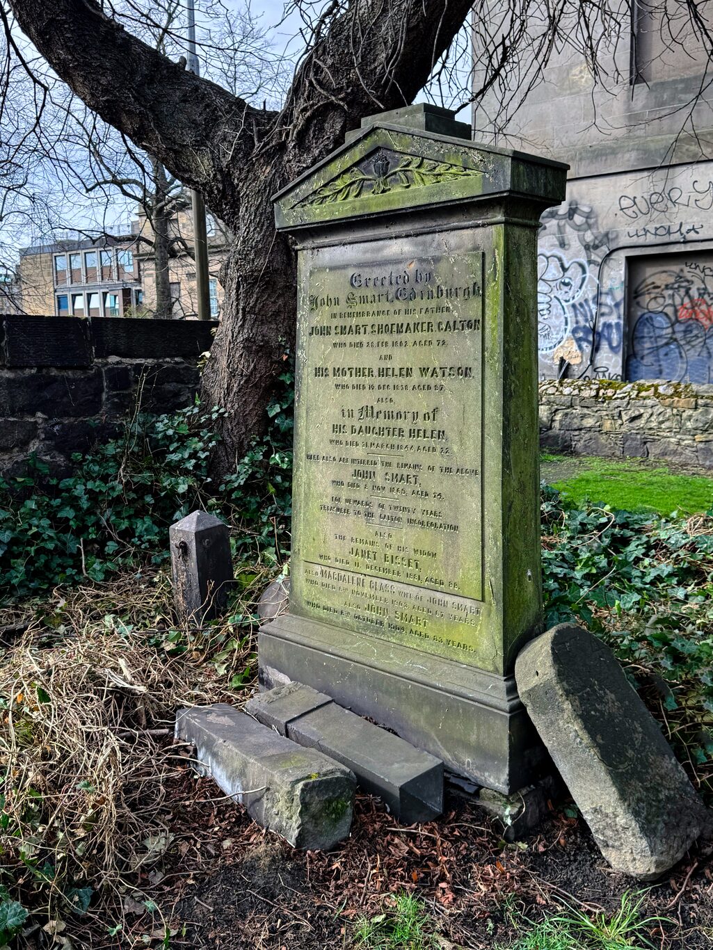
Headstone of the Smart family plot. The broken, leaning headstone at right caught my eye.
Camera Model: iPhone 15 Pro
Click for Map Location:N 55.9540528 W 3.1862194
Headstone of the Smart family plot. The broken, leaning headstone at right caught my eye.
Calton Hill#
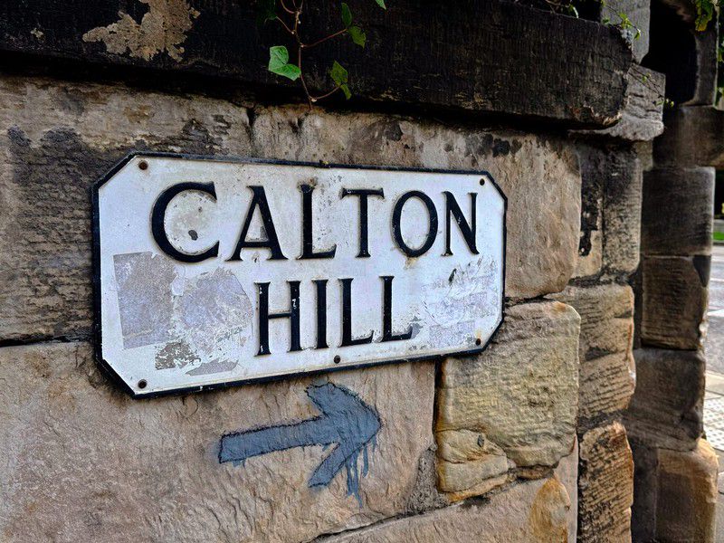
The monuments on the hill are of course in this elevated spot to be seen from the city. But once on top of the hill the real interesting thing for me was the view from the hill over the city. Unfortunately the overcast weather made for somewhat drab-looking images but the sheer vintage of most of the buildings makes an impression on a western Canadian like me where all buildings are relatively young.
Mouse over / Tap on the image to see to see description:

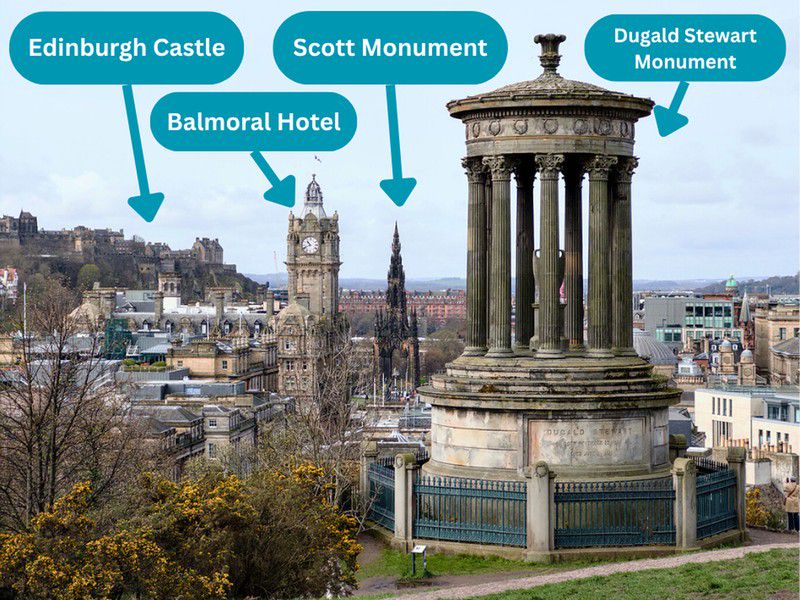
A view over the city from Calton Hill
Holyrood Park#
The next destination on my planned route for the day was Holyrood Park, a set of prominent hills in the southeast part of the city. It’s clear humans have been building on these hills for centuries but all that remains is St. Anthony’s Chapel, a medieval ruin.
On the way over to Holyrood Park, these cobblestone-lined streets lined with stone buildings, no doubt normal to the point of being invisible to locals, made an impression on me.
(Click to see a larger version)
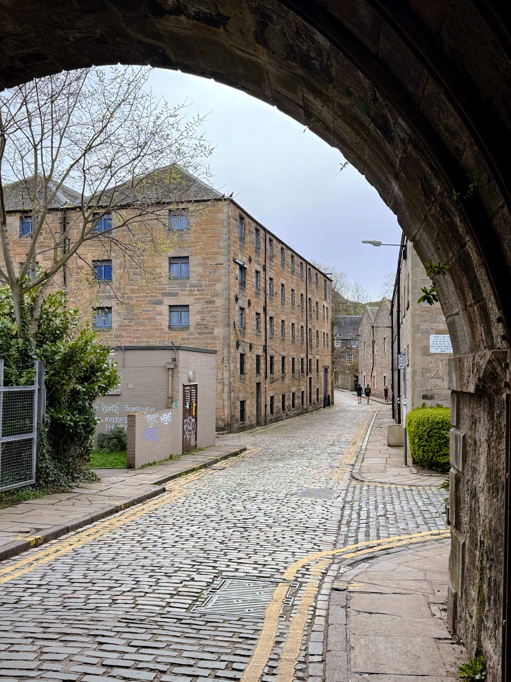
Cobblestone streets and stone buildings.
Camera Model: iPhone 15 Pro
Click for Map Location:N 55.9549444 W 3.1717278
Cobblestone streets and stone buildings.
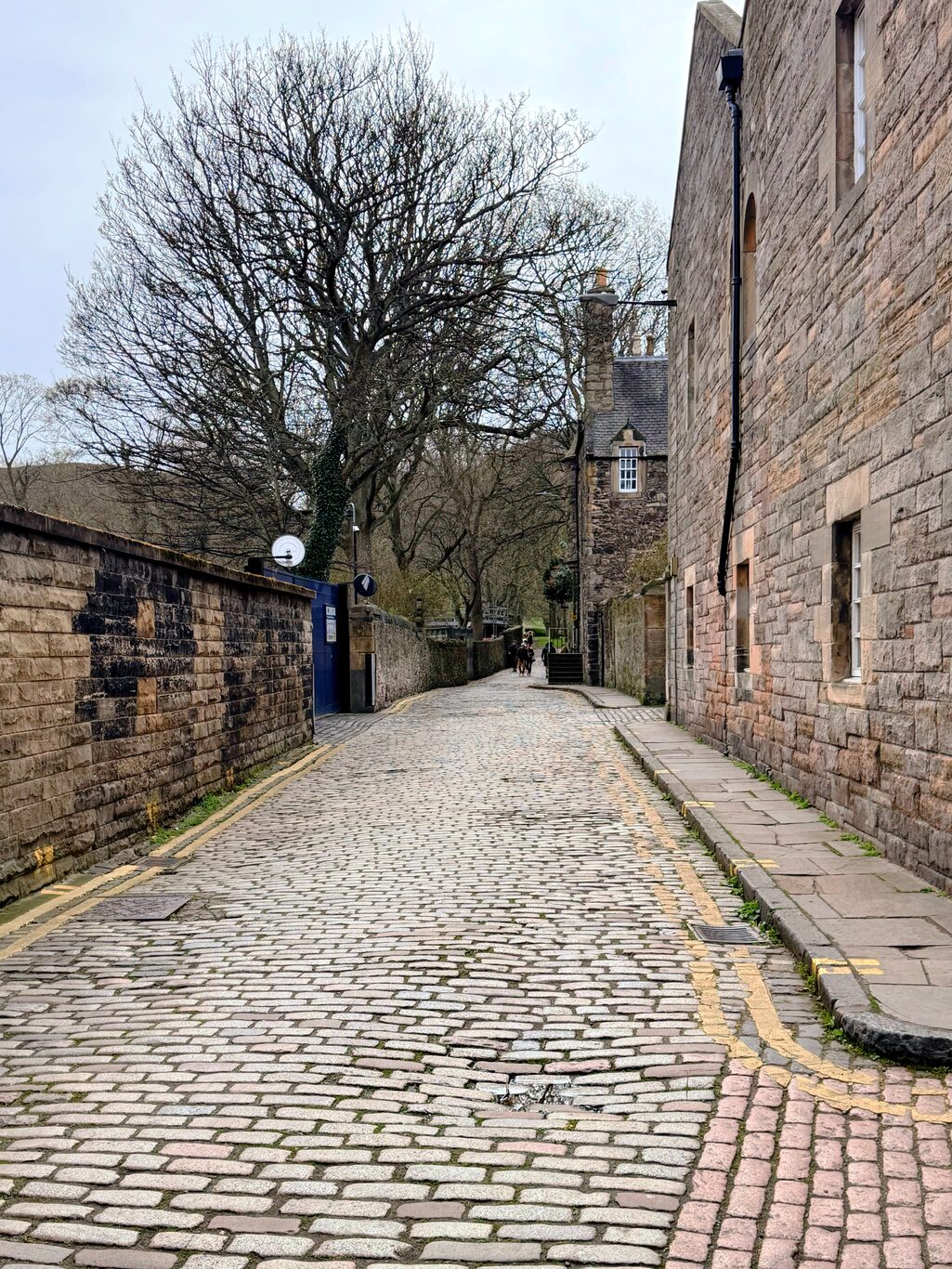
Cobblestone streets and stone buildings.
Camera Model: iPhone 15 Pro
Click for Map Location:N 55.9546056 W 3.1713528
Cobblestone streets and stone buildings.
I had a number of possible geocaches that I could find in the park, some at high elevations, some near street level. My right knee was complaining a bit on this day so I opted to walk only to the street-level caches: I didn’t want to stress it too much, this being only a day away from starting the West Highland Way. I was able to find a “puzzle cache” and a “multi-cache” in the park, both fairly easily.
On the way back from one find, I spied St. Anthony’s Chapel on the nearby hill. My research tells me that surprisingly little is known about the history of this structure. It may date back to the 1300s. It was built in a spot that commands attention and it still does just that even while the structure slowly returns to the earth.
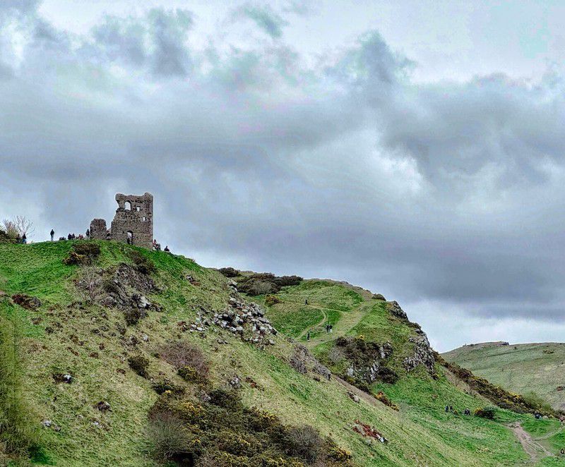
I slowly made my way back to the tram stop at Princes Street and then returned to my accommodation via tram.
It was an impressive first full day of exploring Edinburgh. Of course to many in Canada this is the “Old Country” so it’s no wonder that it was the sheer antiquity of the structures I experienced throughout the day that made the deepest impression on me.
Gallery#
(Click to see a larger version)

Just a typical street scene to the locals, but its all still new to me.
Camera Model: iPhone 15 Pro
Click for Map Location:N 55.9546750 W 3.1868417
Just a typical street scene to the locals, but its all still new to me.
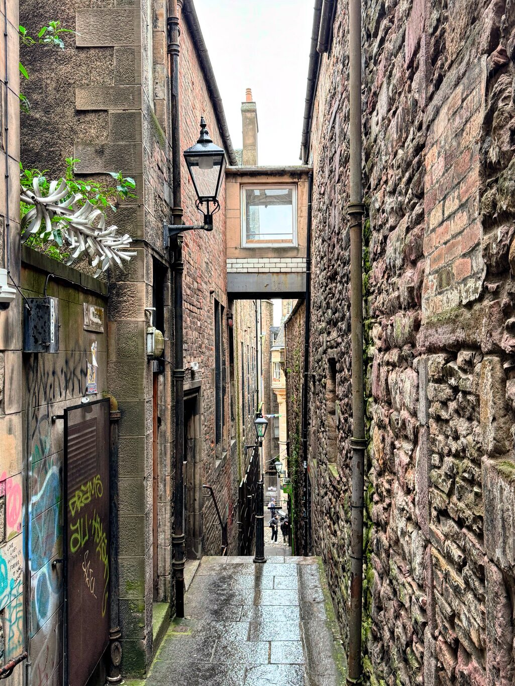
A cool, narrow alleyway leading from High Street toward Waverly Train Station.
Camera Model: iPhone 15 Pro
Click for Map Location:N 55.9503694 W 3.1894722
A cool, narrow alleyway leading from High Street toward Waverly Train Station.

Exploring Edinburgh - This article is part of a series.
Related
Exploring Edinburgh - Day 1 - Travel and First Day Arrival